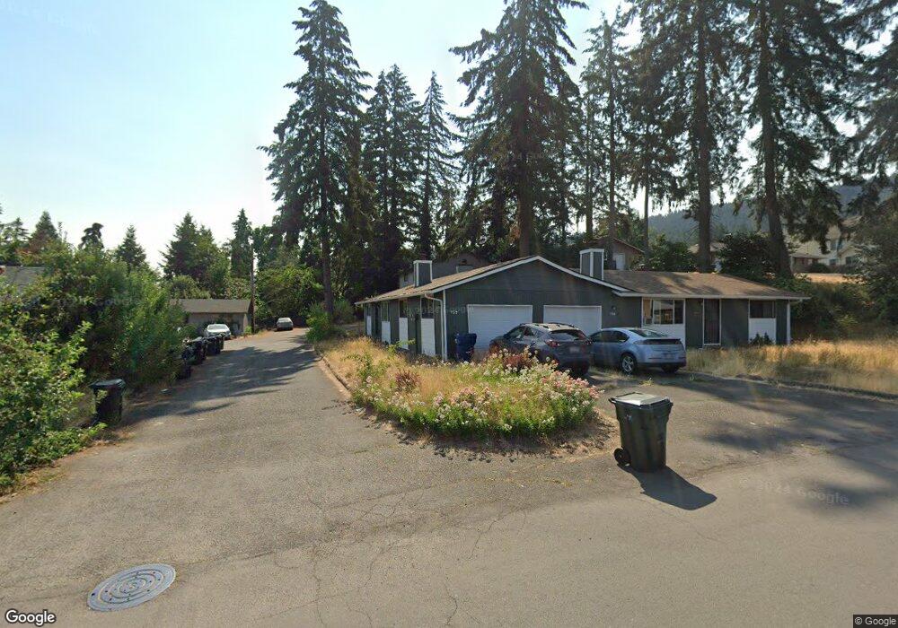
135 S 70th St Springfield, OR 97478
Thurston NeighborhoodEstimated Value: $445,000 - $537,000
4
Beds
4
Baths
2,126
Sq Ft
$233/Sq Ft
Est. Value
About This Home
This home is located at 135 S 70th St, Springfield, OR 97478 and is currently estimated at $494,430, approximately $232 per square foot. 135 S 70th St is a home located in Lane County with nearby schools including Thurston Elementary School, Thurston Middle School, and Thurston High School.
Ownership History
Date
Name
Owned For
Owner Type
Purchase Details
Closed on
Feb 20, 2015
Sold by
Naito Melissa L and Brooks Allyson
Bought by
Hsu Phebe
Current Estimated Value
Home Financials for this Owner
Home Financials are based on the most recent Mortgage that was taken out on this home.
Original Mortgage
$122,500
Outstanding Balance
$92,991
Interest Rate
3.6%
Mortgage Type
New Conventional
Estimated Equity
$401,439
Purchase Details
Closed on
Dec 1, 2010
Sold by
Berkman Marvin and Berkman Carol
Bought by
Berkman Carol and Carol Berkman Living Trust
Create a Home Valuation Report for This Property
The Home Valuation Report is an in-depth analysis detailing your home's value as well as a comparison with similar homes in the area
Home Values in the Area
Average Home Value in this Area
Purchase History
| Date | Buyer | Sale Price | Title Company |
|---|---|---|---|
| Hsu Phebe | $175,000 | First American Title | |
| Berkman Carol | -- | Cascade Title Company |
Source: Public Records
Mortgage History
| Date | Status | Borrower | Loan Amount |
|---|---|---|---|
| Open | Hsu Phebe | $122,500 |
Source: Public Records
Tax History
| Year | Tax Paid | Tax Assessment Tax Assessment Total Assessment is a certain percentage of the fair market value that is determined by local assessors to be the total taxable value of land and additions on the property. | Land | Improvement |
|---|---|---|---|---|
| 2025 | $4,095 | $223,331 | -- | -- |
| 2024 | $4,029 | $216,827 | -- | -- |
| 2023 | $4,029 | $210,512 | $0 | $0 |
| 2022 | $3,732 | $204,381 | $0 | $0 |
| 2021 | $3,665 | $198,429 | $0 | $0 |
| 2020 | $3,558 | $192,650 | $0 | $0 |
| 2019 | $3,451 | $187,039 | $0 | $0 |
| 2018 | $3,253 | $176,303 | $0 | $0 |
| 2017 | $3,128 | $176,303 | $0 | $0 |
| 2016 | $3,062 | $171,168 | $0 | $0 |
| 2015 | $2,975 | $166,183 | $0 | $0 |
Source: Public Records
Map
Nearby Homes
- 246 S 70th St
- 6964 Bluebelle Way
- 353 71st St
- 6875 B St
- 7027 S E St
- 616 S 71st St
- 468 72nd St
- 250 68th St
- 0 S 69th Place
- 7025 Glacier Dr
- 7438 A St
- 0 Omlid Dr Unit 1 706471345
- 0 Omlid Dr Unit 11
- 0 Omlid Dr Unit 27 796722689
- 0 Omlid Dr Unit 26 256458253
- 0 Omlid Dr Unit 10
- 0 Omlid Dr Unit 3 154724851
- 0 Omlid Dr Unit 2 312357104
- 0 S 73rd St Unit 24191573
- 555 66th St
- 127 S 70th St
- 204 S 70th Place
- 213 S 70th St
- 213 S 70th St Unit 3
- 213 S 70th St Unit 2
- 103 S 70th St
- 109 S 70th St
- 220 S 70th Place
- 119 S 70th St
- 212 S 70th Place
- 225 S 70th St
- 221 S 70th St
- 7048 Aster St
- 6997 Main St
- 228 S 70th Place
- 7045 Main St
- 230 S 70th St
- 236 S 70th Place
- 4 S 70th St
- 7052 Aster St
Your Personal Tour Guide
Ask me questions while you tour the home.