Estimated Value: $445,000 - $531,000
3
Beds
2
Baths
3,224
Sq Ft
$154/Sq Ft
Est. Value
About This Home
This home is located at 1350 S Calhan Hwy, Yoder, CO 80864 and is currently estimated at $496,000, approximately $153 per square foot. 1350 S Calhan Hwy is a home located in El Paso County with nearby schools including Miami/Yoder Elementary School and Miami-Yoder Middle - High School.
Ownership History
Date
Name
Owned For
Owner Type
Purchase Details
Closed on
Jun 15, 2017
Sold by
Manson Michelle K V
Bought by
Manson Wyatt and Manson Michelle K
Current Estimated Value
Home Financials for this Owner
Home Financials are based on the most recent Mortgage that was taken out on this home.
Original Mortgage
$245,000
Outstanding Balance
$203,789
Interest Rate
4.02%
Mortgage Type
VA
Estimated Equity
$292,211
Purchase Details
Closed on
Apr 23, 2014
Sold by
Clark David R and Clark Sandra C
Bought by
Manson Wyatt A and Manson Michelle K V
Home Financials for this Owner
Home Financials are based on the most recent Mortgage that was taken out on this home.
Original Mortgage
$204,300
Interest Rate
4.43%
Mortgage Type
VA
Purchase Details
Closed on
Sep 30, 1999
Sold by
Ellicott Heights Llc
Bought by
Clark David R and Clark Sandra C
Create a Home Valuation Report for This Property
The Home Valuation Report is an in-depth analysis detailing your home's value as well as a comparison with similar homes in the area
Home Values in the Area
Average Home Value in this Area
Purchase History
| Date | Buyer | Sale Price | Title Company |
|---|---|---|---|
| Manson Wyatt | -- | Empire Title Colorado Spring | |
| Manson Wyatt A | $200,000 | Heritage Title | |
| Clark David R | $37,500 | Land Title |
Source: Public Records
Mortgage History
| Date | Status | Borrower | Loan Amount |
|---|---|---|---|
| Open | Manson Wyatt | $245,000 | |
| Closed | Manson Wyatt A | $204,300 |
Source: Public Records
Tax History
| Year | Tax Paid | Tax Assessment Tax Assessment Total Assessment is a certain percentage of the fair market value that is determined by local assessors to be the total taxable value of land and additions on the property. | Land | Improvement |
|---|---|---|---|---|
| 2025 | $895 | $39,130 | -- | -- |
| 2024 | $829 | $26,530 | $3,860 | $22,670 |
| 2023 | $829 | $26,530 | $3,860 | $22,670 |
| 2022 | $776 | $20,100 | $3,060 | $17,040 |
| 2021 | $835 | $20,680 | $3,150 | $17,530 |
| 2020 | $761 | $18,020 | $3,150 | $14,870 |
| 2019 | $775 | $18,020 | $3,150 | $14,870 |
| 2018 | $667 | $14,790 | $3,170 | $11,620 |
| 2017 | $634 | $14,790 | $3,170 | $11,620 |
| 2016 | $628 | $14,540 | $3,350 | $11,190 |
| 2015 | $629 | $14,540 | $3,350 | $11,190 |
| 2014 | $741 | $13,060 | $3,350 | $9,710 |
Source: Public Records
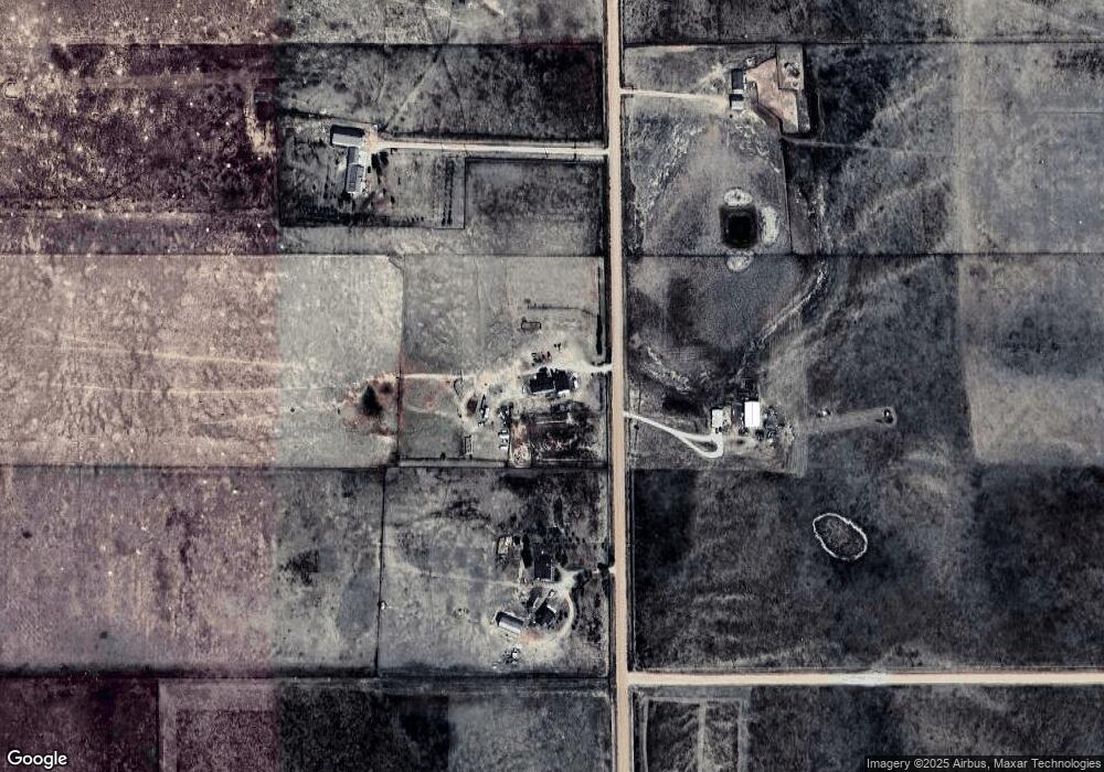
Map
Nearby Homes
- 0 Equestrian Point
- 930 Awesome View
- 29895 Cross Bow Ct
- 29866 Cross Bow Ct
- 29835 Cross Bow Ct
- 29805 Cross Bow Ct
- 29865 Cross Bow Ct
- 29806 Cross Bow Ct
- 251 Blue Duck Way
- 211 Blue Duck Way
- 755 High Prairie Point
- 29848 Lonesome Dove Ln
- 29888 Lonesome Dove Ln
- 30008 Lonesome Dove Ln
- 110 N Dinner Bell Dr
- 79 N Dinner Bell Dr
- 174 N Dinner Bell Dr
- 46 N Dinner Bell Dr
- 142 N Dinner Bell Dr
- 78 N Dinner Bell Dr
- 1355 S Calhan Hwy
- 1470 S Calhan Hwy
- 000 S Calhan Hwy
- 1230 S Calhan Hwy
- 1235 S Calhan Hwy
- 1110 S Calhan Hwy
- 1595 S Calhan Hwy
- 1650 S Calhan Hwy
- 1115 S Calhan Hwy
- 1715 S Calhan Hwy
- 995 S Calhan Hwy
- 990 S Calhan Hwy
- 1835 S Calhan Hwy
- 875 S Calhan Hwy
- 1830 S Calhan Hwy
- 30950 Ranchland View
- 750 S Calhan Hwy
- 1830 S Calhan Hwy
- 30310 Elway Point
- 1955 S Calhan Hwy
Your Personal Tour Guide
Ask me questions while you tour the home.