1357 Poverty Ln Cortland, NY 13045
Estimated Value: $294,000 - $446,425
3
Beds
3
Baths
2,016
Sq Ft
$167/Sq Ft
Est. Value
About This Home
This home is located at 1357 Poverty Ln, Cortland, NY 13045 and is currently estimated at $337,356, approximately $167 per square foot. 1357 Poverty Ln is a home with nearby schools including Homer Senior High School.
Ownership History
Date
Name
Owned For
Owner Type
Purchase Details
Closed on
Sep 11, 2020
Sold by
Mueller Linda M and Mueller Diana K
Bought by
Hopkins Luke and Hopkins Julie
Current Estimated Value
Purchase Details
Closed on
Mar 20, 2018
Sold by
Emeno Clifford
Bought by
Mueller Linda M and Albro Diana K
Purchase Details
Closed on
Oct 7, 2003
Sold by
Emeno Clifford
Bought by
Emeno Clifford
Purchase Details
Closed on
Mar 12, 1997
Sold by
Benedict James A
Bought by
Emeno Clifford and Emeno Maria
Create a Home Valuation Report for This Property
The Home Valuation Report is an in-depth analysis detailing your home's value as well as a comparison with similar homes in the area
Home Values in the Area
Average Home Value in this Area
Purchase History
| Date | Buyer | Sale Price | Title Company |
|---|---|---|---|
| Hopkins Luke | $40,000 | Stewart Title | |
| Mueller Linda M | -- | -- | |
| Emeno Clifford | -- | -- | |
| Emeno Clifford | $5,000 | -- |
Source: Public Records
Tax History Compared to Growth
Tax History
| Year | Tax Paid | Tax Assessment Tax Assessment Total Assessment is a certain percentage of the fair market value that is determined by local assessors to be the total taxable value of land and additions on the property. | Land | Improvement |
|---|---|---|---|---|
| 2024 | $7,398 | $285,800 | $41,200 | $244,600 |
| 2023 | $7,148 | $285,800 | $41,200 | $244,600 |
| 2022 | $677 | $39,000 | $27,700 | $11,300 |
| 2021 | $1,564 | $39,000 | $27,700 | $11,300 |
| 2020 | $2,161 | $66,000 | $27,700 | $38,300 |
| 2019 | $599 | $66,000 | $27,700 | $38,300 |
| 2018 | $679 | $66,000 | $27,700 | $38,300 |
| 2017 | $564 | $66,000 | $27,700 | $38,300 |
| 2016 | $694 | $66,000 | $27,700 | $38,300 |
| 2015 | -- | $66,000 | $27,700 | $38,300 |
| 2014 | -- | $66,000 | $27,700 | $38,300 |
Source: Public Records
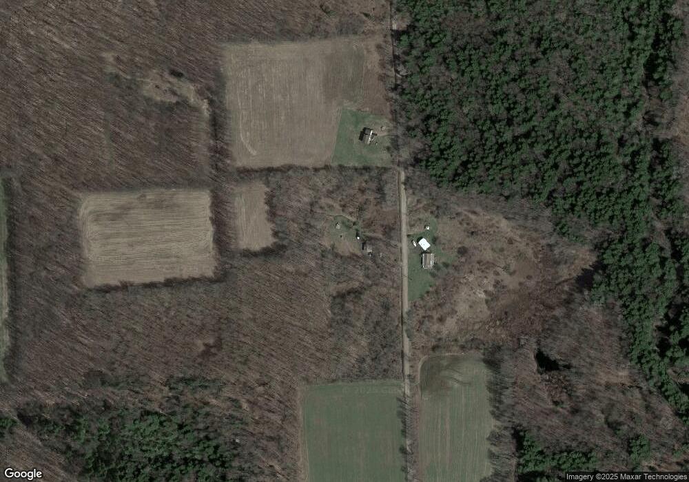
Map
Nearby Homes
- 6566 Branch Rd
- 1270 Lake Como Rd
- 0 Filmore Rd
- 2070 Watkins Rd
- 2007 Sand Hill Rd
- 6207 Sunnyside Dr
- 6449 W Scott Rd
- 464 Foster Moore Rd
- 564 Southview Dr
- 1596 Lick St
- 0 Lick St Unit S1644873
- 1467 Lick St
- 250 State Route 90
- 14184 State Route 90
- 6387 New York 41
- 5625 State Route 41
- 2332 Bear Swamp Rd
- 5984 Dresserville Rd
- 6977 Glen Haven Rd
- 298 Lick St
- 1358 Poverty Ln
- 1391 Poverty Ln
- 1266 Poverty Ln
- 1343 Atwood Rd
- Lot # 2 Atwood Rd
- 00 Atwood Rd
- 1424 State Route 41a
- 1390 Atwood Rd
- 1432 Atwood Rd
- 1297 Atwood Rd
- 1378 State Route 41a
- 1425 State Route 41a
- 1289 Atwood Rd
- 1277 Atwood Rd
- 1456 Atwood Rd
- 1280 Atwood Rd
- 1361 State Route 41a
- 1499 Atwood Rd
- 1500 State Route 41a
- 0 Fire Lane J