136 Plantingfield Way Edgartown, MA 02539
Edgartown NeighborhoodEstimated Value: $4,022,000 - $11,564,688
5
Beds
8
Baths
8,412
Sq Ft
$926/Sq Ft
Est. Value
About This Home
This home is located at 136 Plantingfield Way, Edgartown, MA 02539 and is currently estimated at $7,793,344, approximately $926 per square foot. 136 Plantingfield Way is a home with nearby schools including Edgartown Elementary School and Martha's Vineyard Regional High School.
Ownership History
Date
Name
Owned For
Owner Type
Purchase Details
Closed on
Dec 18, 2012
Sold by
Blum Jennifer L
Bought by
Cgb T and Stapp Terry L
Current Estimated Value
Purchase Details
Closed on
Sep 17, 2001
Sold by
Hammond Adnrew A and Hammond Melissa R
Bought by
Blum Johnathan D and Blum Jennifer L
Create a Home Valuation Report for This Property
The Home Valuation Report is an in-depth analysis detailing your home's value as well as a comparison with similar homes in the area
Home Values in the Area
Average Home Value in this Area
Purchase History
| Date | Buyer | Sale Price | Title Company |
|---|---|---|---|
| Cgb T | -- | -- | |
| Goldberg Henry H | $5,244,000 | -- | |
| Cgb T | -- | -- | |
| Blum Johnathan D | $2,500,000 | -- |
Source: Public Records
Mortgage History
| Date | Status | Borrower | Loan Amount |
|---|---|---|---|
| Previous Owner | Blum Johnathan D | $4,100,000 | |
| Previous Owner | Blum Johnathan D | $4,100,000 | |
| Previous Owner | Blum Johnathan D | $498,000 |
Source: Public Records
Tax History Compared to Growth
Tax History
| Year | Tax Paid | Tax Assessment Tax Assessment Total Assessment is a certain percentage of the fair market value that is determined by local assessors to be the total taxable value of land and additions on the property. | Land | Improvement |
|---|---|---|---|---|
| 2025 | $39,305 | $14,832,000 | $2,742,500 | $12,089,500 |
| 2024 | $35,093 | $13,762,000 | $2,742,500 | $11,019,500 |
| 2023 | $35,200 | $13,968,300 | $2,856,500 | $11,111,800 |
| 2022 | $33,931 | $11,198,300 | $2,693,300 | $8,505,000 |
| 2021 | $38,942 | $11,872,690 | $2,445,290 | $9,427,400 |
| 2020 | $39,029 | $11,650,391 | $2,222,991 | $9,427,400 |
| 2019 | $43,515 | $11,244,100 | $2,408,200 | $8,835,900 |
| 2018 | $38,977 | $10,071,600 | $2,408,200 | $7,663,400 |
| 2017 | $34,214 | $9,637,800 | $1,852,500 | $7,785,300 |
| 2016 | $31,175 | $8,611,900 | $1,717,300 | $6,894,600 |
| 2015 | -- | $8,611,900 | $1,717,300 | $6,894,600 |
Source: Public Records
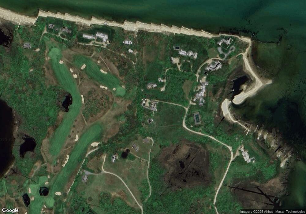
Map
Nearby Homes
- 2 Orchard Ln
- 76 Norton Orchard Rd
- 7 Clark Dr
- 14 Trapps Pond Rd
- 26 Curtis Ln
- 23 Pinehurst Rd
- 10 Peases Point Way N
- 10 Tilton Way
- 48 W Tisbury Rd
- 48 Edgartown - West Tisbury Rd
- 10 Dory Cir
- 43 Cottage St
- 62 N Summer St
- 54 Fuller St
- 43 Peases Point Way S
- 68 N Water St
- 11 Norton St
- 21 Clay Pit Rd
- 52 S Summer St
- 117 N Water St
- 134 Plantingfield Way
- 6 Plantingfield Ln
- 22 Lensen Way
- 139 Plantingfield Way
- 1 Plantingfield Ln
- 19 Lensen Way
- 6 Golf Club Rd
- 143 Plantingfield Way
- 142 Planting Field 5 & 9 Lenssen
- 8 Golf Club Rd
- 123 Plantingfield Way
- 17 Lensen Way
- 17 Lenssen Way
- 117 Plantingfield Way
- 10 Golf Club Rd
- 9 Lenssen Way
- 13 Lensen Way
- 13 Lenssen Way
- 9 Lensen Way
- 14 Golf Club Rd