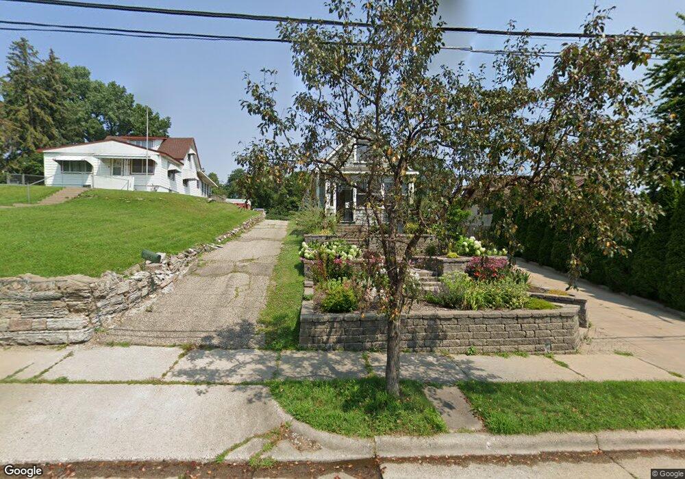
1367 Burns Ave Saint Paul, MN 55106
Dayton's Bluff NeighborhoodEstimated Value: $220,000 - $292,000
2
Beds
1
Bath
778
Sq Ft
$330/Sq Ft
Est. Value
About This Home
This home is located at 1367 Burns Ave, Saint Paul, MN 55106 and is currently estimated at $256,762, approximately $330 per square foot. 1367 Burns Ave is a home located in Ramsey County with nearby schools including Highwood Hills Elementary School, Battle Creek Middle School, and Harding Senior High School.
Create a Home Valuation Report for This Property
The Home Valuation Report is an in-depth analysis detailing your home's value as well as a comparison with similar homes in the area
Home Values in the Area
Average Home Value in this Area
Tax History Compared to Growth
Tax History
| Year | Tax Paid | Tax Assessment Tax Assessment Total Assessment is a certain percentage of the fair market value that is determined by local assessors to be the total taxable value of land and additions on the property. | Land | Improvement |
|---|---|---|---|---|
| 2025 | $3,502 | $254,400 | $29,200 | $225,200 |
| 2023 | $3,502 | $235,900 | $18,700 | $217,200 |
| 2022 | $2,890 | $230,400 | $18,700 | $211,700 |
| 2021 | $2,714 | $192,800 | $18,700 | $174,100 |
| 2020 | $2,824 | $188,200 | $18,700 | $169,500 |
| 2019 | $2,340 | $183,400 | $18,700 | $164,700 |
| 2018 | $2,052 | $154,200 | $18,700 | $135,500 |
| 2017 | $1,870 | $142,200 | $18,700 | $123,500 |
| 2016 | $1,764 | $0 | $0 | $0 |
| 2015 | $1,350 | $126,300 | $16,400 | $109,900 |
| 2014 | $914 | $0 | $0 | $0 |
Source: Public Records
Map
Nearby Homes
- 277 English St
- 1320 Wilson Ave
- 1526 Upper Afton Rd
- 449 Birmingham St
- 1549 Old Hudson Rd
- 1574 Pacific St
- 426 Griffith St
- 1591 Old Hudson Rd
- 1323 4th St E
- 3 Kennard Ct
- 1183 Hancock St
- 1631 Conway St
- 1237 5th St E
- 1747 Louise Ave
- 1207 5th St E
- 1201 6th St E
- 1685 Fremont Ave
- 986 Euclid St
- 1122 6th St E
- 442 White Bear Ave N