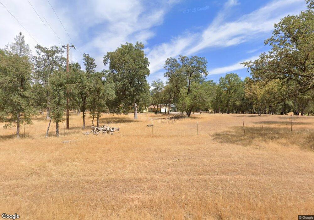
13693 Kitty Hawk Ln Redding, CA 96003
Estimated Value: $249,000 - $372,000
3
Beds
1
Bath
1,184
Sq Ft
$254/Sq Ft
Est. Value
About This Home
This home is located at 13693 Kitty Hawk Ln, Redding, CA 96003 and is currently estimated at $301,221, approximately $254 per square foot. 13693 Kitty Hawk Ln is a home located in Shasta County.
Ownership History
Date
Name
Owned For
Owner Type
Purchase Details
Closed on
Oct 12, 2023
Sold by
Loyal And Carolyn Taylor 2017 Trust
Bought by
Stratton Mark E and Stratton Shauna
Current Estimated Value
Home Financials for this Owner
Home Financials are based on the most recent Mortgage that was taken out on this home.
Original Mortgage
$241,656
Interest Rate
7.63%
Mortgage Type
FHA
Purchase Details
Closed on
May 3, 2017
Sold by
Taylor Loyal C and Taylor Carolyn C
Bought by
Taylor Loyal C and Taylor Carolyn C
Create a Home Valuation Report for This Property
The Home Valuation Report is an in-depth analysis detailing your home's value as well as a comparison with similar homes in the area
Home Values in the Area
Average Home Value in this Area
Purchase History
| Date | Buyer | Sale Price | Title Company |
|---|---|---|---|
| Stratton Mark E | $250,000 | Chicago Title Company | |
| Taylor Loyal C | -- | None Available |
Source: Public Records
Mortgage History
| Date | Status | Borrower | Loan Amount |
|---|---|---|---|
| Previous Owner | Stratton Mark E | $241,656 |
Source: Public Records
Tax History Compared to Growth
Tax History
| Year | Tax Paid | Tax Assessment Tax Assessment Total Assessment is a certain percentage of the fair market value that is determined by local assessors to be the total taxable value of land and additions on the property. | Land | Improvement |
|---|---|---|---|---|
| 2025 | $2,758 | $255,000 | $66,300 | $188,700 |
| 2024 | $1,466 | $250,000 | $65,000 | $185,000 |
| 2023 | $1,466 | $137,949 | $45,977 | $91,972 |
| 2022 | $1,426 | $135,245 | $45,076 | $90,169 |
| 2021 | $1,405 | $132,594 | $44,193 | $88,401 |
| 2020 | $1,398 | $131,235 | $43,740 | $87,495 |
| 2019 | $1,354 | $128,663 | $42,883 | $85,780 |
| 2018 | $1,353 | $126,142 | $42,043 | $84,099 |
| 2017 | $1,329 | $123,669 | $41,219 | $82,450 |
| 2016 | $1,270 | $121,245 | $40,411 | $80,834 |
| 2015 | $1,249 | $119,424 | $39,804 | $79,620 |
| 2014 | -- | $117,086 | $39,025 | $78,061 |
Source: Public Records
Map
Nearby Homes
- 0 Manzanillo Way Unit 25-2218
- 0 Manzanillo Way Unit 22-4418
- 13911 Blue Ridge Dr
- 20700 Bernard Way
- 20119 Sunrise Dr
- 14058 Windfall Dr
- 14020 Windfall Dr
- 0 Bear Mountain Rd Unit 25-3999
- 13592 Old Oregon Trail
- 19924 Woodchuck Trail
- 0 Spring Lake St
- NSA Bernard Way
- 0 Bernard Way
- 19902 Little Acres Ln
- 13160 Bear Mountain Rd
- 0 Mylindas Way
- 13497 Tierra Heights Rd
- 13365 Tierra Heights Rd
- 14018 Highview Trail
- 14364 Sundown Dr
- 13721 Kitty Hawk Ln
- 13670 Kittyhawk Ln
- 13670 Kitty Hawk Ln
- 13650 Kitty Hawk Ln
- 0 Kitty Hawk Ln
- 20472 Sunrise Dr
- 13708 Kitty Hawk Ln
- 13550 Bear Mountain Rd
- 20567 Little Hawk Ln
- 13595 Kitty Hawk Ln
- 20537 Terri Lee Terrace
- 0 Gloria Terrace
- 13764 Kitty Hawk Ln
- 20528 Terri Lee Terrace
- 13568 Bear Mountain Rd
- 13624 Bear Mountain Rd
- 0 Terri Lee Terrace
- 13553 Bear Mountain Rd
- 13545 Bear Mountain Rd
- 13636 Bear Mountain Rd
