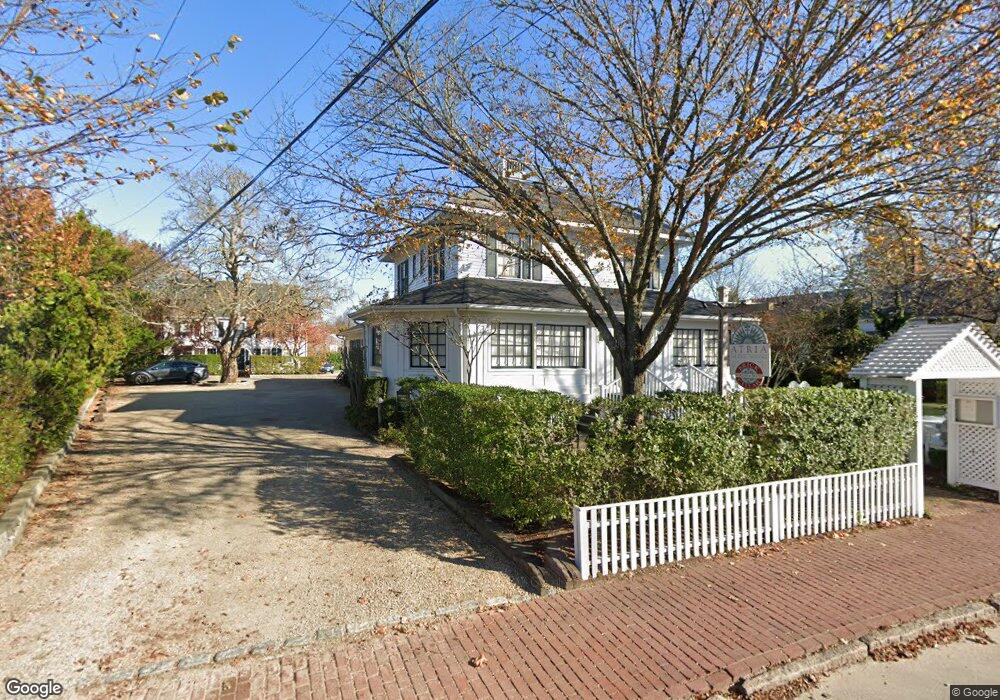
137 Upper Main St Edgartown, MA 02539
Edgartown Neighborhood
4
Beds
5
Baths
7,302
Sq Ft
19,602
Sq Ft Lot
About This Home
This home is located at 137 Upper Main St, Edgartown, MA 02539. 137 Upper Main St is a home located in Dukes County with nearby schools including Edgartown Elementary School and Martha's Vineyard Regional High School.
Ownership History
Date
Name
Owned For
Owner Type
Purchase Details
Closed on
May 26, 2000
Sold by
Dello Russo Walter
Bought by
Glidden-Boyle E and Glidden-Boyle Lizzie
Create a Home Valuation Report for This Property
The Home Valuation Report is an in-depth analysis detailing your home's value as well as a comparison with similar homes in the area
Home Values in the Area
Average Home Value in this Area
Purchase History
| Date | Buyer | Sale Price | Title Company |
|---|---|---|---|
| Glidden-Boyle E | $750,000 | -- | |
| Zilphagael Llc | $800,000 | -- | |
| Glidden-Boyle E E | $750,000 | -- |
Source: Public Records
Mortgage History
| Date | Status | Borrower | Loan Amount |
|---|---|---|---|
| Open | Glidden-Boyle E E | $1,200,000 |
Source: Public Records
Tax History
| Year | Tax Paid | Tax Assessment Tax Assessment Total Assessment is a certain percentage of the fair market value that is determined by local assessors to be the total taxable value of land and additions on the property. | Land | Improvement |
|---|---|---|---|---|
| 2025 | $6,457 | $2,436,600 | $719,600 | $1,717,000 |
| 2024 | $6,213 | $2,436,600 | $719,600 | $1,717,000 |
| 2023 | $6,011 | $2,385,200 | $668,200 | $1,717,000 |
| 2022 | $4,858 | $1,603,400 | $641,700 | $961,700 |
| 2021 | $5,259 | $1,603,400 | $641,700 | $961,700 |
| 2020 | $5,371 | $1,603,400 | $641,700 | $961,700 |
| 2019 | $6,205 | $1,603,400 | $641,700 | $961,700 |
| 2018 | $6,205 | $1,603,400 | $641,700 | $961,700 |
| 2017 | $5,565 | $1,567,700 | $641,700 | $926,000 |
| 2016 | $5,675 | $1,567,700 | $641,700 | $926,000 |
| 2015 | $5,440 | $1,567,700 | $641,700 | $926,000 |
Source: Public Records
Map
Nearby Homes
- 99 Cooke St
- 10 Peases Point Way N
- 32 Norton Orchard Rd
- 43 Peases Point Way S
- 44 Plantingfield Way Unit 2
- 44 Plantingfield Way
- 52 S Summer St
- 69 School St
- 23 Pinehurst Rd
- 38 Pinehurst Rd
- 68 N Water St
- 114 N Water St
- 117 N Water St
- 5 Louis Field Rd Unit 121.3
- 5 Louis Field Rd
- 35 Mariners Way
- 23 Beetle Swamp Rd
- 14 Trapps Pond Rd
- 90 Schoolhouse Rd
- 90 Schoolhouse Rd Unit 14
- 129 Upper Main St
- 139 Upper Main St
- 136 Main St
- 5 Pine St
- 136 Upper Main St
- 142 Upper Main St
- 22 Oliver St
- 127 Upper Main St
- 8 Cyrus Ln
- 136 & 140 Upper Main St
- 20 Oliver St
- 128 Upper Main St
- 23 Oliver St
- 119 Main St
- 148 Main St
- 119 Upper Main St
- 136 and 140 Upper Main St
- 148 Upper Main St
- 11 Pine St
- 21 Oliver St
Your Personal Tour Guide
Ask me questions while you tour the home.