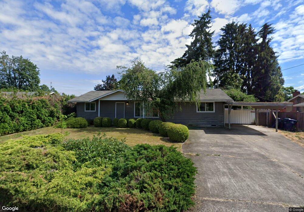
1370 Menlo Loop Springfield, OR 97477
West Springfield NeighborhoodEstimated Value: $354,241 - $417,000
3
Beds
2
Baths
1,224
Sq Ft
$313/Sq Ft
Est. Value
About This Home
This home is located at 1370 Menlo Loop, Springfield, OR 97477 and is currently estimated at $383,560, approximately $313 per square foot. 1370 Menlo Loop is a home located in Lane County with nearby schools including Centennial Elementary School, Hamlin Middle School, and Springfield High School.
Ownership History
Date
Name
Owned For
Owner Type
Purchase Details
Closed on
Jan 28, 2014
Sold by
Campbell Monte
Bought by
Campbell Monte and C David Campbell & Monte K Campbell Fami
Current Estimated Value
Purchase Details
Closed on
Feb 22, 2001
Sold by
Campbell C David and Campbell Monte
Bought by
Campbell C David and Campbell Monte
Purchase Details
Closed on
Mar 25, 1998
Sold by
Campbell C David and Campbell Monte K
Bought by
Campbell C David and Campbell Monte
Create a Home Valuation Report for This Property
The Home Valuation Report is an in-depth analysis detailing your home's value as well as a comparison with similar homes in the area
Home Values in the Area
Average Home Value in this Area
Purchase History
| Date | Buyer | Sale Price | Title Company |
|---|---|---|---|
| Campbell Monte | -- | None Available | |
| Campbell C David | -- | Western Title & Escrow Compa | |
| Campbell C David | -- | -- |
Source: Public Records
Tax History
| Year | Tax Paid | Tax Assessment Tax Assessment Total Assessment is a certain percentage of the fair market value that is determined by local assessors to be the total taxable value of land and additions on the property. | Land | Improvement |
|---|---|---|---|---|
| 2025 | $2,709 | $184,970 | -- | -- |
| 2024 | $2,636 | $179,583 | -- | -- |
| 2023 | $2,636 | $174,353 | -- | -- |
| 2022 | $2,506 | $169,275 | $0 | $0 |
| 2021 | $2,452 | $164,345 | $0 | $0 |
| 2020 | $2,381 | $159,559 | $0 | $0 |
| 2019 | $2,297 | $154,912 | $0 | $0 |
| 2018 | $2,210 | $146,019 | $0 | $0 |
| 2017 | $2,144 | $146,019 | $0 | $0 |
| 2016 | $2,096 | $141,766 | $0 | $0 |
| 2015 | $2,045 | $137,637 | $0 | $0 |
| 2014 | $1,958 | $133,628 | $0 | $0 |
Source: Public Records
Map
Nearby Homes
- 1310 W Quinalt St
- 1450 W Quinalt St
- 1533 Sequoia Ave
- 1424 Wimbledon Place
- 804 W N St
- 1130 Anderson Ln
- 1074 Hamilton St
- 835 Anderson Ln
- 898 Lochaven Ave
- 428 W Centennial Blvd
- 930 Prescott Ln
- 992 Sunset Dr
- 952 Summit Blvd
- 1566 Laura St
- 1505 Canal St
- 538 Lochaven Ave
- 0 Summit Blvd Unit 101337462
- 446 Kodiak St
- 451 Lochaven Ave
- 3579 Oxbow Way
- 1350 Menlo Loop
- 1426 Menlo Loop
- 1460 Tamarack St
- 1379 Menlo Loop
- 1444 Menlo Loop
- 1512 Tamarack St
- 1396 Tamarack St
- 1427 Menlo Loop
- 1433 Tamarack St
- 1457 Tamarack St
- 1321 Linden Ave
- 1320 Menlo Loop
- 1411 Linden Ave
- 1384 Tamarack St
- 1449 Menlo Loop
- 1397 Tamarack St
- 1452 Menlo Loop
- 1501 Tamarack St
- 1520 Tamarack St
- 1431 Linden Ave
Your Personal Tour Guide
Ask me questions while you tour the home.