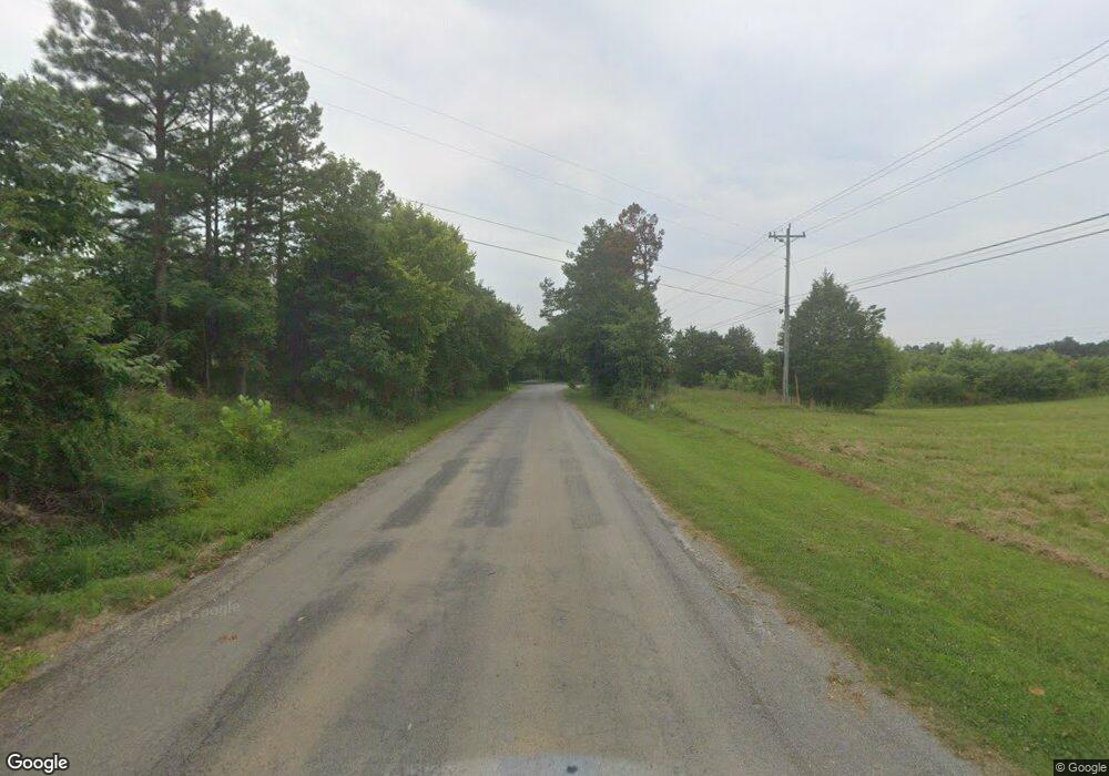
Estimated Value: $164,000 - $250,000
2
Beds
2
Baths
1,134
Sq Ft
$165/Sq Ft
Est. Value
About This Home
This home is located at 1371 Old State Route 76 Unit 1371, Dover, TN 37058 and is currently estimated at $187,638, approximately $165 per square foot. 1371 Old State Route 76 Unit 1371 is a home located in Stewart County with nearby schools including Dover Elementary School, Stewart County Middle School, and Stewart County High School.
Ownership History
Date
Name
Owned For
Owner Type
Purchase Details
Closed on
Jul 16, 2018
Sold by
Johnson John D
Bought by
Anderson Joe R and Anderson Elena N
Current Estimated Value
Purchase Details
Closed on
Jun 29, 2010
Bought by
Easement
Purchase Details
Closed on
Oct 1, 2008
Sold by
Johnson Terry L
Bought by
Johnson John D
Purchase Details
Closed on
Jan 24, 2008
Sold by
Kathy Smith
Bought by
Johnson John D
Purchase Details
Closed on
Oct 10, 1966
Bought by
Taylor Charles Thedford and Taylor Myrtle
Create a Home Valuation Report for This Property
The Home Valuation Report is an in-depth analysis detailing your home's value as well as a comparison with similar homes in the area
Home Values in the Area
Average Home Value in this Area
Purchase History
| Date | Buyer | Sale Price | Title Company |
|---|---|---|---|
| Anderson Joe R | $30,000 | -- | |
| Easement | -- | -- | |
| Johnson John D | -- | -- | |
| Johnson John D | $65,000 | -- | |
| Taylor Charles Thedford | -- | -- |
Source: Public Records
Tax History Compared to Growth
Tax History
| Year | Tax Paid | Tax Assessment Tax Assessment Total Assessment is a certain percentage of the fair market value that is determined by local assessors to be the total taxable value of land and additions on the property. | Land | Improvement |
|---|---|---|---|---|
| 2024 | $556 | $37,425 | $5,850 | $31,575 |
| 2023 | $525 | $22,250 | $3,900 | $18,350 |
| 2022 | $525 | $22,250 | $3,900 | $18,350 |
| 2021 | $525 | $22,250 | $3,900 | $18,350 |
| 2020 | $542 | $22,250 | $3,900 | $18,350 |
| 2019 | $542 | $21,250 | $3,900 | $17,350 |
| 2018 | $542 | $21,250 | $3,900 | $17,350 |
| 2017 | $542 | $21,250 | $3,900 | $17,350 |
| 2016 | $542 | $21,250 | $3,900 | $17,350 |
| 2015 | $525 | $21,250 | $3,900 | $17,350 |
| 2014 | $522 | $21,250 | $3,900 | $17,350 |
| 2013 | $522 | $21,116 | $0 | $0 |
Source: Public Records
Map
Nearby Homes
- 344 Highway 232
- Donelson Pkwy Rt 79 and 232
- 79 Tennessee 232
- 168 Wedgewood Dr
- 234 Lower Standing Rock Rd
- 163 Walnut Grove Rd
- 306 Streamside Dr Unit Lot 61
- 00 Streamside Dr Unit Lot 57
- 3435 Donelson Pkwy
- 501 River Trace Rd
- 0 River Trace Rd
- 36 River Trace Rd
- 00 River Trace Rd
- 37 River Trace Rd
- 454 River Trace Rd
- 0 Trace Harbor Dr
- 0 Cox Hollow Rd
- 217 Amanda Rd
- 1377 Old State Route 76 Unit 1377
- 1 Sarah Ln
- 0 Amanda Rd Unit RTC2994149
- 0 Amanda Rd Unit RTC2490326
- 0 Amanda Rd Unit 2249612
- 316 Sarah Ln
- 0 Sarah Ln Unit 123452
- 0 Sarah Ln Unit 2183450
- 0 Sarah Ln Unit 2061580
- 313 Sarah Ln
- 152 Lucille Ln
- 323 Sarah Ln
- 10 Walnut Grove Rd
- 2 Sarah Ln
- 435 Walnut Grove Rd
- 428 Sarah Ln
- 104 Martha Dr
- 107 Martha Dr
- 103 Martha Dr
