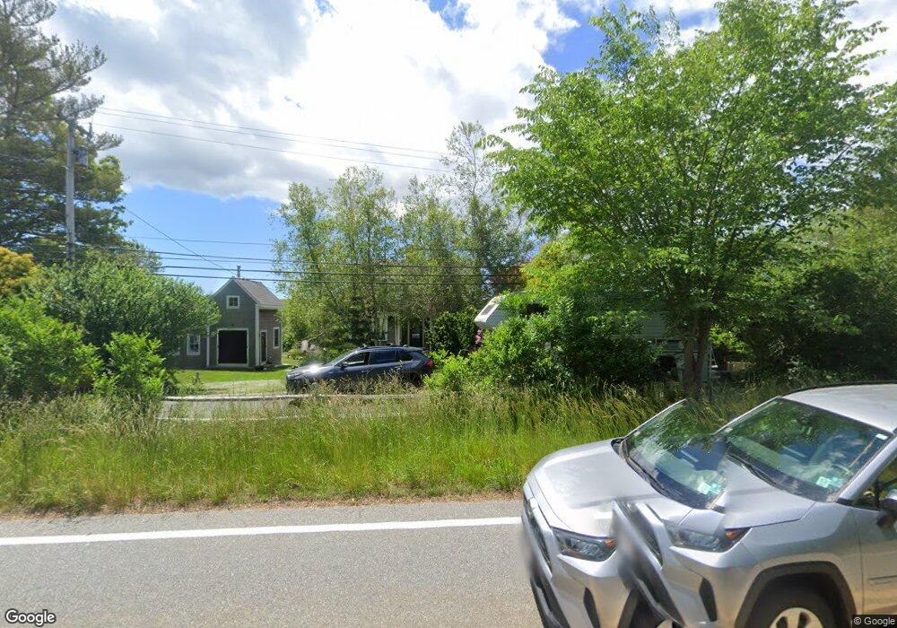
1375 Main St West Barnstable, MA 02668
West Barnstable NeighborhoodEstimated Value: $568,000 - $1,007,000
3
Beds
2
Baths
1,198
Sq Ft
$616/Sq Ft
Est. Value
About This Home
This home is located at 1375 Main St, West Barnstable, MA 02668 and is currently estimated at $738,423, approximately $616 per square foot. 1375 Main St is a home located in Barnstable County with nearby schools including West Barnstable Elementary School, Barnstable United Elementary School, and Barnstable Intermediate School.
Ownership History
Date
Name
Owned For
Owner Type
Purchase Details
Closed on
Jun 10, 2010
Sold by
Lang Evelyn J
Bought by
Dewey Daniel H
Current Estimated Value
Home Financials for this Owner
Home Financials are based on the most recent Mortgage that was taken out on this home.
Original Mortgage
$188,000
Interest Rate
5.11%
Mortgage Type
Purchase Money Mortgage
Purchase Details
Closed on
Sep 24, 1997
Sold by
Delozier Carolyn
Bought by
Lang Evelyn J
Home Financials for this Owner
Home Financials are based on the most recent Mortgage that was taken out on this home.
Original Mortgage
$62,500
Interest Rate
7.47%
Mortgage Type
Purchase Money Mortgage
Create a Home Valuation Report for This Property
The Home Valuation Report is an in-depth analysis detailing your home's value as well as a comparison with similar homes in the area
Home Values in the Area
Average Home Value in this Area
Purchase History
| Date | Buyer | Sale Price | Title Company |
|---|---|---|---|
| Dewey Daniel H | $235,000 | -- | |
| Lang Evelyn J | $62,500 | -- |
Source: Public Records
Mortgage History
| Date | Status | Borrower | Loan Amount |
|---|---|---|---|
| Open | Lang Evelyn J | $184,000 | |
| Closed | Dewey Daniel H | $188,000 | |
| Previous Owner | Lang Evelyn J | $62,000 | |
| Previous Owner | Lang Evelyn J | $62,500 |
Source: Public Records
Tax History Compared to Growth
Tax History
| Year | Tax Paid | Tax Assessment Tax Assessment Total Assessment is a certain percentage of the fair market value that is determined by local assessors to be the total taxable value of land and additions on the property. | Land | Improvement |
|---|---|---|---|---|
| 2025 | $5,036 | $539,200 | $215,400 | $323,800 |
| 2024 | $4,428 | $516,100 | $215,400 | $300,700 |
| 2023 | $4,094 | $449,400 | $196,100 | $253,300 |
| 2022 | $3,860 | $347,400 | $135,600 | $211,800 |
| 2021 | $3,956 | $337,500 | $137,600 | $199,900 |
| 2020 | $1,829 | $294,500 | $137,700 | $156,800 |
| 2019 | $3,328 | $271,000 | $145,900 | $125,100 |
| 2018 | $1,712 | $273,000 | $169,800 | $103,200 |
| 2017 | $3,333 | $272,300 | $169,800 | $102,500 |
| 2016 | $3,280 | $273,600 | $171,100 | $102,500 |
| 2015 | $3,208 | $268,200 | $165,800 | $102,400 |
Source: Public Records
Map
Nearby Homes
- 282 Parker Rd
- 350 Plum St
- 1825 Main St
- 2400 Meetinghouse Way
- 2070 Main St
- 40 Appaloosa Way
- 50 Currycomb Cir
- 250 The Plains Rd
- 80 Saddler Ln
- 74 Saddler Ln
- 88 Joe Thompson Rd
- 62 Three Ponds Dr
- 29 Summerwind Ln
- 11 Shepherds Way
- 510 Cedar St
- 515 Cedar St
- 55 Chickadee Ln
- 1044 Old Falmouth Rd
- 66 Tern Ln
- 1028 Old Falmouth Rd
- 1372/1376 Main St
- 1374 Main St
- 1401 Main St
- 1340 Main St
- 1344 Main St
- 1262 Main St
- 1426 Main St
- 1310 Main St
- 1322 Main St
- 1912 Olde Kings - Rt 6a Route
- 86 Parker Rd
- 96 Parker Rd
- 126 Parker Rd
- 1067 Main St
- 1476 Main St
- 1295 Main St
- 1247 Main St Rte 6a(w Barn )
- 1492 Old King's Hwy
- 1492 Main St
- 1492 Main St