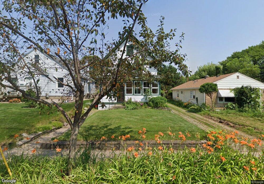
1387 Burns Ave Saint Paul, MN 55106
Dayton's Bluff NeighborhoodEstimated Value: $260,986 - $284,000
3
Beds
2
Baths
1,418
Sq Ft
$194/Sq Ft
Est. Value
About This Home
This home is located at 1387 Burns Ave, Saint Paul, MN 55106 and is currently estimated at $274,497, approximately $193 per square foot. 1387 Burns Ave is a home located in Ramsey County with nearby schools including Highwood Hills Elementary School, Battle Creek Middle School, and Harding Senior High School.
Create a Home Valuation Report for This Property
The Home Valuation Report is an in-depth analysis detailing your home's value as well as a comparison with similar homes in the area
Home Values in the Area
Average Home Value in this Area
Tax History Compared to Growth
Tax History
| Year | Tax Paid | Tax Assessment Tax Assessment Total Assessment is a certain percentage of the fair market value that is determined by local assessors to be the total taxable value of land and additions on the property. | Land | Improvement |
|---|---|---|---|---|
| 2025 | $3,558 | $245,400 | $24,300 | $221,100 |
| 2023 | $3,558 | $232,100 | $15,600 | $216,500 |
| 2022 | $2,920 | $234,100 | $15,600 | $218,500 |
| 2021 | $2,348 | $190,700 | $15,600 | $175,100 |
| 2020 | $2,748 | $155,800 | $15,600 | $140,200 |
| 2019 | $2,336 | $164,000 | $15,600 | $148,400 |
| 2018 | $2,050 | $145,200 | $15,600 | $129,600 |
| 2017 | $2,074 | $134,800 | $15,600 | $119,200 |
| 2016 | $1,612 | $0 | $0 | $0 |
| 2015 | $1,546 | $103,800 | $13,600 | $90,200 |
| 2014 | $1,618 | $0 | $0 | $0 |
Source: Public Records
Map
Nearby Homes
- 277 English St
- 1526 Upper Afton Rd
- 1320 Wilson Ave
- 449 Birmingham St
- 1574 Pacific St
- 1549 Old Hudson Rd
- 1591 Old Hudson Rd
- 426 Griffith St
- 3 Kennard Ct
- 1063 Burns Ave
- 1323 4th St E
- 1631 Conway St
- 1183 Hancock St
- 1747 Louise Ave
- 1237 5th St E
- 1207 5th St E
- 1685 Fremont Ave
- 1201 6th St E
- 442 White Bear Ave N
- 986 Euclid St