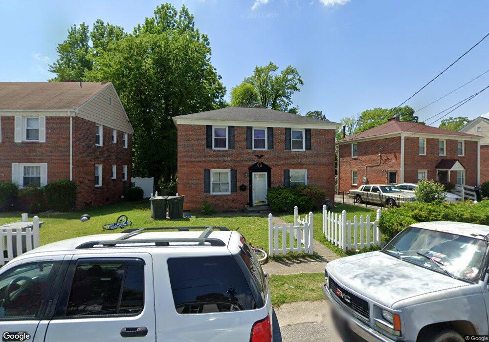
139 Armstrong Dr Hampton, VA 23669
Newtown-Crown Point NeighborhoodEstimated Value: $242,000 - $277,000
About This Home
This home is located at 139 Armstrong Dr, Hampton, VA 23669 and is currently estimated at $261,508, approximately $165 per square foot. 139 Armstrong Dr is a home located in Hampton City with nearby schools including Hunter B. Andrews PK-8 School, C. Alton Lindsay Middle School, and Phoebus High School.
Ownership History
We collect this data history from publicly available records. To have your information removed, we recommend requesting removal directly through your county’s website.
Purchase Details
Purchase Details
Home Values in the Area
Average Home Value in this Area
Purchase History
We collect this data history from publicly available records. To have your information removed, we recommend requesting removal directly through your county’s website.
| Date | Buyer | Sale Price | Title Company |
|---|---|---|---|
| -- | None Available | ||
| -- | -- |
Mortgage History
We collect this data history from publicly available records. To have your information removed, we recommend requesting removal directly through your county’s website.
| Date | Status | Borrower | Loan Amount |
|---|---|---|---|
| Open | $15,000 | ||
| Open | $117,000 | ||
| Closed | $17,300 | ||
| Closed | $111,000 |
Tax History
We collect this data history from publicly available records. To have your information removed, we recommend requesting removal directly through your county’s website.
| Year | Tax Paid | Tax Assessment Tax Assessment Total Assessment is a certain percentage of the fair market value that is determined by local assessors to be the total taxable value of land and additions on the property. | Land | Improvement |
|---|---|---|---|---|
| 2025 | $2,566 | $211,600 | $53,000 | $158,600 |
| 2024 | $2,216 | $192,700 | $53,000 | $139,700 |
| 2023 | $1,913 | $164,900 | $50,900 | $114,000 |
| 2022 | $1,796 | $152,200 | $44,500 | $107,700 |
| 2021 | $1,706 | $127,100 | $39,800 | $87,300 |
| 2020 | $1,507 | $121,500 | $39,800 | $81,700 |
| 2019 | $1,468 | $118,400 | $39,800 | $78,600 |
| 2018 | $1,555 | $117,800 | $39,800 | $78,000 |
| 2017 | $1,555 | $0 | $0 | $0 |
| 2016 | $1,555 | $117,800 | $0 | $0 |
| 2015 | $1,555 | $0 | $0 | $0 |
| 2014 | $1,648 | $117,700 | $39,700 | $78,000 |
Map
- 121 Armstrong Dr
- 127 Clyde St
- 130 Burns St
- 4001 Chesapeake Ave
- 4000 Buchanan Dr
- 4021 Chesapeake Ave
- 161 Lasalle Ave
- 4017 Monitor Dr
- 4031 Chesapeake Ave
- 229 Lasalle Ave
- 4203 Chesapeake Ave
- 302 Lasalle Ave
- 29 Moss Ave
- 24 Moss Ave
- 32 W Southampton Ave
- 213 Brooke Dr
- 3308 Matoaka Rd
- 39 W Sunset Rd
- 3614 Victoria Blvd
- 6 Capps Qtrs Unit 3
- 136 Armstrong Dr
- 138 Armstrong Dr
- 130 Barksdale Rd
- 140 Armstrong Dr
- 128 Barksdale Rd
- 128 Barksdale Rd Unit 23669
- 3804 Van Patten Dr
- 134 Armstrong Dr
- 137 Armstrong Dr
- 3806 Van Patten Dr
- 135 Armstrong Dr
- 3802 Van Patten Dr
- 126 Barksdale Rd
- 3808 Van Patten Dr
- 121 Barksdale Rd
- 132 Armstrong Dr
- 133 Armstrong Dr
- 141 Armstrong Dr
- 3810 Van Patten Dr
- 119 Barksdale Rd
Ask me questions while you tour the home.