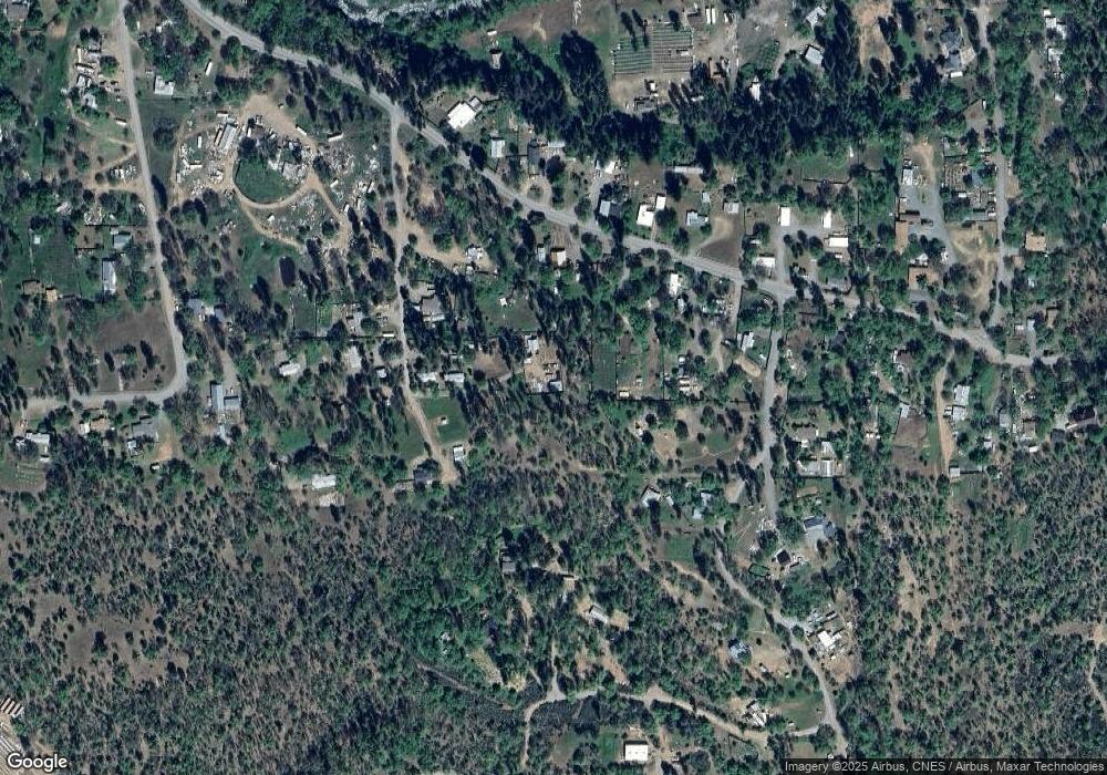
139 Locust St Hayfork, CA 96041
Estimated Value: $117,000 - $200,000
1
Bed
--
Bath
552
Sq Ft
$269/Sq Ft
Est. Value
About This Home
This home is located at 139 Locust St, Hayfork, CA 96041 and is currently estimated at $148,289, approximately $268 per square foot. 139 Locust St is a home with nearby schools including Hayfork High School.
Ownership History
Date
Name
Owned For
Owner Type
Purchase Details
Closed on
Mar 15, 2021
Sold by
Vang Lor
Bought by
Xiong Linda Yang
Current Estimated Value
Purchase Details
Closed on
Dec 31, 2015
Sold by
Murphy Matthew
Bought by
Vang Lor
Home Financials for this Owner
Home Financials are based on the most recent Mortgage that was taken out on this home.
Original Mortgage
$40,000
Interest Rate
3.93%
Mortgage Type
New Conventional
Purchase Details
Closed on
Apr 27, 2015
Sold by
Humphrey Freddie L and Humphrey Iretha Jean
Bought by
Murphy Matthew
Create a Home Valuation Report for This Property
The Home Valuation Report is an in-depth analysis detailing your home's value as well as a comparison with similar homes in the area
Home Values in the Area
Average Home Value in this Area
Purchase History
| Date | Buyer | Sale Price | Title Company |
|---|---|---|---|
| Xiong Linda Yang | $40,000 | None Available | |
| Vang Lor | $140,000 | First American Title Company | |
| Murphy Matthew | $55,000 | Trinity County Title Company |
Source: Public Records
Mortgage History
| Date | Status | Borrower | Loan Amount |
|---|---|---|---|
| Previous Owner | Vang Lor | $40,000 |
Source: Public Records
Tax History
| Year | Tax Paid | Tax Assessment Tax Assessment Total Assessment is a certain percentage of the fair market value that is determined by local assessors to be the total taxable value of land and additions on the property. | Land | Improvement |
|---|---|---|---|---|
| 2025 | $912 | $64,944 | $21,648 | $43,296 |
| 2024 | $891 | $63,672 | $21,224 | $42,448 |
| 2023 | $891 | $62,424 | $20,808 | $41,616 |
| 2022 | $877 | $61,200 | $20,400 | $40,800 |
| 2021 | $1,226 | $98,426 | $16,404 | $82,022 |
| 2020 | $1,180 | $97,417 | $16,236 | $81,181 |
| 2019 | $1,132 | $95,508 | $15,918 | $79,590 |
| 2018 | $1,132 | $93,636 | $15,606 | $78,030 |
| 2017 | $1,128 | $91,800 | $15,300 | $76,500 |
| 2016 | $432 | $32,130 | $8,160 | $23,970 |
| 2015 | $426 | $18,444 | $2,753 | $15,691 |
| 2014 | $289 | $18,084 | $2,700 | $15,384 |
Source: Public Records
Map
Nearby Homes
- 131 Locust St
- 1240 Morgan Hill Rd
- 60 Sebring Rd
- 305 Pine Ave
- 355 Pine Ave
- 20 Genest St
- 820 Kingsbury Rd
- 63 Michel St
- 310 Reservoir Rd
- 134 W Humboldt St
- 134 Humboldt St
- 70 Oak Ave
- 7020 California 3
- 7021 California 3
- 71 Tule Creek Rd
- 347 Buck Ln
- 341 Buck Ln
- 355 Oliva Dr
- 9901 State Highway 3
- 675 Hyampom
- 91 Locust St
- 1450 Morgan Hill Rd
- 70 Kyler Ave
- 1390 Morgan Hill Rd
- 71 Locust St
- 300 Seronello Dr
- 40 R Jesse St
- 21 Locust St
- 1410 Morgan Hill Rd
- 151 Locust St
- 1481 Morgan Hill Rd
- 310 Seronello Dr
- 1425 Morgan Hill Rd
- 1461 Morgan Hill Rd
- 16 R Jesse St
- 110 Locust St
- 11883 Morgan Hill Rd
- 1381 Morgan Hill Rd
Your Personal Tour Guide
Ask me questions while you tour the home.
