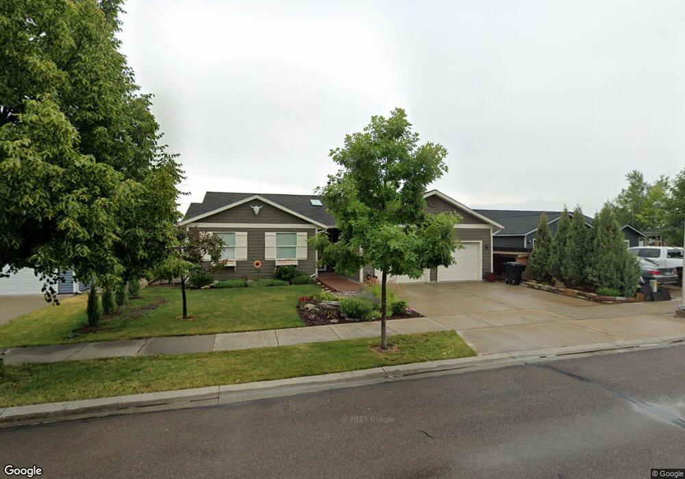
139 Rim Rock Ct Kalispell, MT 59901
Estimated Value: $457,765 - $509,000
3
Beds
2
Baths
1,556
Sq Ft
$315/Sq Ft
Est. Value
About This Home
This home is located at 139 Rim Rock Ct, Kalispell, MT 59901 and is currently estimated at $490,191, approximately $315 per square foot. 139 Rim Rock Ct is a home located in Flathead County with nearby schools including Lillian Peterson School, Flathead High School, and St. Matthew's School.
Ownership History
Date
Name
Owned For
Owner Type
Purchase Details
Closed on
Jun 20, 2013
Sold by
Murray Dawn M
Bought by
Pipolo John S and Pipolo Jacqueline M
Current Estimated Value
Purchase Details
Closed on
May 21, 2008
Sold by
Hay Jon and Hay Laura
Bought by
Murray Dawn M
Home Financials for this Owner
Home Financials are based on the most recent Mortgage that was taken out on this home.
Original Mortgage
$218,500
Interest Rate
5.88%
Mortgage Type
New Conventional
Create a Home Valuation Report for This Property
The Home Valuation Report is an in-depth analysis detailing your home's value as well as a comparison with similar homes in the area
Home Values in the Area
Average Home Value in this Area
Purchase History
| Date | Buyer | Sale Price | Title Company |
|---|---|---|---|
| Pipolo John S | -- | Atec | |
| Murray Dawn M | -- | Alliance Title |
Source: Public Records
Mortgage History
| Date | Status | Borrower | Loan Amount |
|---|---|---|---|
| Previous Owner | Murray Dawn M | $218,500 |
Source: Public Records
Tax History Compared to Growth
Tax History
| Year | Tax Paid | Tax Assessment Tax Assessment Total Assessment is a certain percentage of the fair market value that is determined by local assessors to be the total taxable value of land and additions on the property. | Land | Improvement |
|---|---|---|---|---|
| 2025 | $1,781 | $468,800 | $0 | $0 |
| 2024 | $3,356 | $430,900 | $0 | $0 |
| 2023 | $3,769 | $430,900 | $0 | $0 |
| 2022 | $3,388 | $287,600 | $0 | $0 |
| 2021 | $3,095 | $287,600 | $0 | $0 |
| 2020 | $2,589 | $239,500 | $0 | $0 |
| 2019 | $3,026 | $239,500 | $0 | $0 |
| 2018 | $2,973 | $224,900 | $0 | $0 |
| 2017 | $2,982 | $224,900 | $0 | $0 |
| 2016 | $26 | $210,900 | $0 | $0 |
| 2015 | $2,594 | $210,900 | $0 | $0 |
| 2014 | $2,031 | $119,833 | $0 | $0 |
Source: Public Records
Map
Nearby Homes
- 135 Rimrock Ct
- 31 Austin St
- 7 and 9 Stratford Dr
- 304 Bismark St
- 305 Bismark St
- 91 Denver Ave
- 1814 N Belmar Dr
- 908 Ashley Dr
- 1996/1998 Greatview
- 2035 Teal Dr
- 1971 Bluestone Dr
- 1483 & 1485 Western Dr
- 1418 6th Ave W
- 1517 5th Ave W
- 1313 7th Ave W
- 1308 7th Ave W
- 2224 Pintail Ct
- 8 Primrose Ct
- 124 Trillium Way
- 48 Trillium Way
- 139 Rimrock Ct
- 143 Rim Rock Ct
- 143 Rimrock Ct
- 147 Rimrock Ct
- 131 Rimrock Ct
- 120 Rimrock Ct
- 1831 Bluestone Dr
- 127 Rimrock Ct
- 1827 Bluestone Dr
- 144 Rimrock Ct
- 116 Rim Rock Ct
- 116 Rimrock Ct
- 1900 S Meadows Dr
- 148 Rimrock Ct
- 1823 Bluestone Dr
- 123 Rimrock Ct
- 119 Rimrock Ct
- 1819 Bluestone Dr
- 1904 S Meadows Dr
- 150 Bluestone Dr