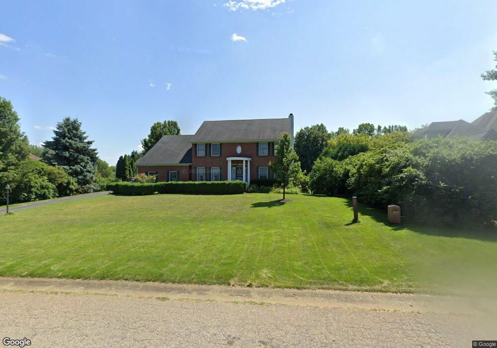
13924 Edenderry Dr Unit Bldg-Unit South Lyon, MI 48178
Estimated Value: $538,000 - $589,000
4
Beds
4
Baths
2,617
Sq Ft
$216/Sq Ft
Est. Value
About This Home
This home is located at 13924 Edenderry Dr Unit Bldg-Unit, South Lyon, MI 48178 and is currently estimated at $565,061, approximately $215 per square foot. 13924 Edenderry Dr Unit Bldg-Unit is a home located in Livingston County with nearby schools including William A. Brummer Elementary School, Centennial Middle School, and South Lyon High School.
Ownership History
Date
Name
Owned For
Owner Type
Purchase Details
Closed on
Aug 15, 2023
Sold by
Pollack Marcus L
Bought by
Mejeur Nicholas and Mejeur Erika
Current Estimated Value
Purchase Details
Closed on
Jul 19, 2018
Sold by
Suzanne Mccurdy Ret
Bought by
Pollack Marcus L
Purchase Details
Closed on
Mar 7, 2018
Sold by
Joan Ann Borashi Ret
Bought by
Suzanne Mccurdy Ret
Purchase Details
Closed on
Apr 30, 2014
Sold by
Mccurdy Suzanne
Bought by
Mccurdy Suzanne and Suzanne Mccurdy Revocable Living Trust
Purchase Details
Closed on
Feb 20, 2002
Sold by
Mccrary Matthew
Bought by
Mccurdy Suzanne
Create a Home Valuation Report for This Property
The Home Valuation Report is an in-depth analysis detailing your home's value as well as a comparison with similar homes in the area
Home Values in the Area
Average Home Value in this Area
Purchase History
| Date | Buyer | Sale Price | Title Company |
|---|---|---|---|
| Mejeur Nicholas | $499,000 | First American Title | |
| Pollack Marcus L | $348,375 | -- | |
| Suzanne Mccurdy Ret | -- | -- | |
| Mccurdy Suzanne | -- | -- | |
| Mccurdy Suzanne | -- | Philip F Greco Title Company |
Source: Public Records
Tax History Compared to Growth
Tax History
| Year | Tax Paid | Tax Assessment Tax Assessment Total Assessment is a certain percentage of the fair market value that is determined by local assessors to be the total taxable value of land and additions on the property. | Land | Improvement |
|---|---|---|---|---|
| 2025 | $7,718 | $267,100 | $0 | $0 |
| 2024 | $5,199 | $247,100 | $0 | $0 |
| 2023 | $4,421 | $252,700 | $0 | $0 |
| 2022 | $5,590 | $180,900 | $0 | $0 |
| 2021 | $5,618 | $210,900 | $0 | $0 |
| 2020 | $5,590 | $203,500 | $0 | $0 |
| 2019 | $5,456 | $180,900 | $0 | $0 |
| 2018 | $4,271 | $158,100 | $0 | $0 |
| 2017 | $4,319 | $172,500 | $0 | $0 |
| 2016 | $4,386 | $156,000 | $0 | $0 |
| 2014 | $4,112 | $147,000 | $0 | $0 |
| 2012 | $4,112 | $127,800 | $0 | $0 |
Source: Public Records
Map
Nearby Homes
- 667 Allegheny Dr
- Addison Plan at Charleston Park
- Bradford with Second Floor Plan at Charleston Park
- Bartelle Plan at Charleston Park
- Upton Plan at Charleston Park
- Bradford Plan at Charleston Park
- Westford Plan at Charleston Park
- Madison Plan at Charleston Park
- Nantucket Plan at Charleston Park
- Preston Plan at Charleston Park
- Remington Plan at Charleston Park
- Rockport II Plan at Charleston Park
- 13802 Forest Ridge Cir
- 577 W Lake St
- 174 Singh Blvd
- 702 Westhills Dr
- 13428 Sequoia Ln
- 891 Westhills Dr
- 22649 N Dixboro Rd
- 429 Cambridge Ave
- 13924 Edenderry Dr
- 10172 Longford Dr
- 13898 Edenderry Dr
- 10190 Longford Dr
- 10137 Devonshire Dr
- 10208 Longford Dr
- 13872 Edenderry Dr
- 10183 Longford Dr
- 10161 Longford Dr
- 10142 Longford Ct
- 10109 Devonshire Dr
- 10134 Devonshire Dr
- 10226 Longford Dr
- 13846 Edenderry Dr
- 10205 Longford Dr
- 10114 Longford Ct
- 10244 Longford Dr
- 10106 Devonshire Dr
- 10086 Longford Ct
- 10081 Devonshire Dr