1393 Perico Point Cir Unit 142 Bradenton, FL 34209
Northwest Bradenton NeighborhoodEstimated Value: $418,545 - $538,000
2
Beds
2
Baths
1,334
Sq Ft
$356/Sq Ft
Est. Value
About This Home
This home is located at 1393 Perico Point Cir Unit 142, Bradenton, FL 34209 and is currently estimated at $475,136, approximately $356 per square foot. 1393 Perico Point Cir Unit 142 is a home located in Manatee County with nearby schools including Ida M. Stewart Elementary School, Martha B. King Middle School, and Manatee High School.
Ownership History
Date
Name
Owned For
Owner Type
Purchase Details
Closed on
Jun 1, 2005
Sold by
Hawthorne Wilson and Hawthorne Judy
Bought by
Youngwood Gordon and Youngwood Mary Anne
Current Estimated Value
Purchase Details
Closed on
May 31, 2000
Sold by
Cropper Wallace J
Bought by
Hawthorne Wilson and Hawthorne Judy
Purchase Details
Closed on
Nov 23, 1998
Sold by
Cropper Wallace J
Bought by
Cropper Wallace J
Create a Home Valuation Report for This Property
The Home Valuation Report is an in-depth analysis detailing your home's value as well as a comparison with similar homes in the area
Home Values in the Area
Average Home Value in this Area
Purchase History
| Date | Buyer | Sale Price | Title Company |
|---|---|---|---|
| Youngwood Gordon | $364,000 | Barnes Walker Title Inc | |
| Hawthorne Wilson | $202,500 | -- | |
| Cropper Wallace J | -- | -- |
Source: Public Records
Tax History Compared to Growth
Tax History
| Year | Tax Paid | Tax Assessment Tax Assessment Total Assessment is a certain percentage of the fair market value that is determined by local assessors to be the total taxable value of land and additions on the property. | Land | Improvement |
|---|---|---|---|---|
| 2025 | $4,210 | $282,365 | -- | -- |
| 2024 | $4,210 | $274,407 | -- | -- |
| 2023 | $4,150 | $266,415 | $0 | $0 |
| 2022 | $4,139 | $258,655 | $0 | $0 |
| 2021 | $3,959 | $251,121 | $0 | $0 |
| 2020 | $4,082 | $247,654 | $0 | $0 |
| 2019 | $4,009 | $242,086 | $0 | $0 |
| 2018 | $3,964 | $237,572 | $0 | $0 |
| 2017 | $3,713 | $232,686 | $0 | $0 |
| 2016 | $3,688 | $227,900 | $0 | $0 |
| 2015 | $4,068 | $210,900 | $0 | $0 |
| 2014 | $4,068 | $201,076 | $0 | $0 |
| 2013 | $3,797 | $185,636 | $1 | $185,635 |
Source: Public Records
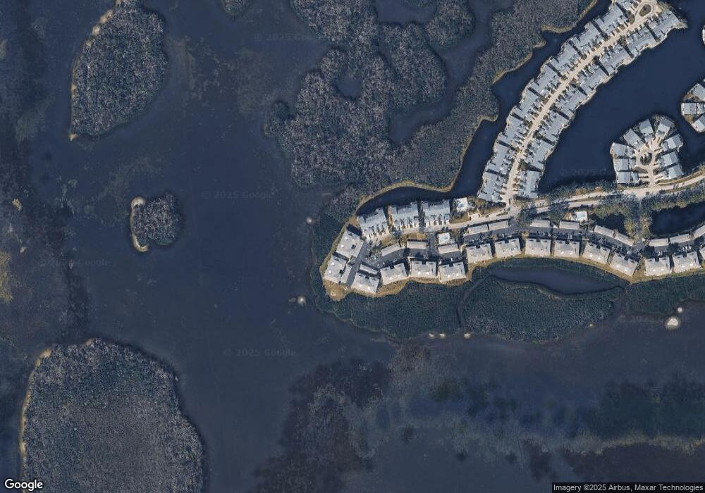
Map
Nearby Homes
- 1343 Perico Point Cir Unit 117
- 1316 Perico Point Cir
- 1312 Perico Point Cir
- 1323 Perico Point Cir Unit 107
- 1247 Edgewater Cir Unit 72
- 1247 Spoonbill Landings Cir
- 1235 Spoonbill Landings Cir
- 1225 Spoonbill Landings Cir
- 1216 Spoonbill Landings Cir
- 1153 Edgewater Cir
- 1211 Spoonbill Landings Cir
- 1109 Edgewater Cir Unit 1109
- 1103 Edgewater Cir Unit 2
- 983 Sandpiper Cir Unit 983
- 970 Sandpiper Cir Unit 970
- 972 Sandpiper Cir
- 967 Waterside Ln
- 912 Sandpiper Cir Unit 912
- 841 Audubon Dr Unit 841
- 1145 Edgewater Cir Unit 1145
- 1397 Perico Point Cir Unit 144
- 1389 Perico Point Cir Unit 140
- 1389 Perico Point Cir Unit 1389
- 1391 Perico Point Cir Unit 141
- 1391 Perico Point Cir
- 1395 Perico Point Cir Unit 143
- 1385 Perico Point Cir Unit 138
- 1387 Perico Point Cir
- 1387 Perico Point Cir Unit 1387
- 1330 Perico Point Cir
- 1383 Perico Point Cir Unit 137
- 1379 Perico Point Cir Unit Q135
- 1381 Perico Point Cir Unit Q136
- 1328 Perico Point Cir
- 1377 Perico Point Cir Unit 134
- 1375 Perico Point Cir Unit 133
- 1326 Perico Point Cir
- 1324 Perico Point Cir
- 1371 Perico Point Cir
- 1373 Perico Point Cir