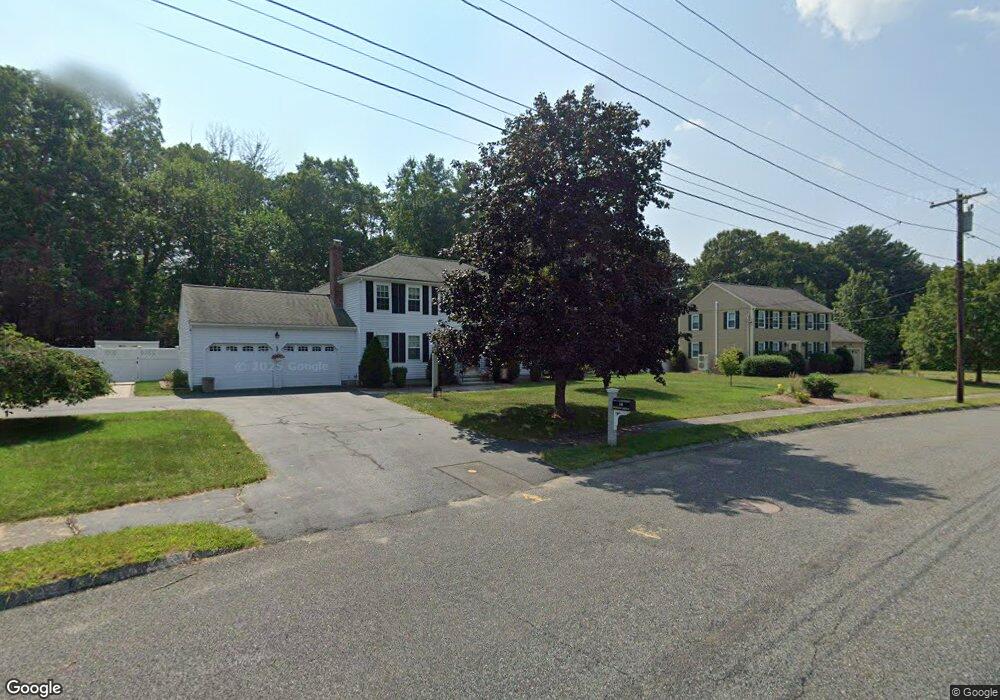
14 Donato Dr Franklin, MA 02038
Estimated Value: $796,000 - $972,000
4
Beds
3
Baths
2,110
Sq Ft
$410/Sq Ft
Est. Value
About This Home
This home is located at 14 Donato Dr, Franklin, MA 02038 and is currently estimated at $865,484, approximately $410 per square foot. 14 Donato Dr is a home located in Norfolk County with nearby schools including John F. Kennedy Memorial School, Horace Mann Middle School, and Franklin High School.
Create a Home Valuation Report for This Property
The Home Valuation Report is an in-depth analysis detailing your home's value as well as a comparison with similar homes in the area
Tax History
| Year | Tax Paid | Tax Assessment Tax Assessment Total Assessment is a certain percentage of the fair market value that is determined by local assessors to be the total taxable value of land and additions on the property. | Land | Improvement |
|---|---|---|---|---|
| 2025 | $8,883 | $764,500 | $357,400 | $407,100 |
| 2024 | $9,095 | $771,400 | $357,400 | $414,000 |
| 2023 | $8,639 | $686,700 | $341,500 | $345,200 |
| 2022 | $8,010 | $570,100 | $264,700 | $305,400 |
| 2021 | $7,539 | $514,600 | $255,600 | $259,000 |
| 2020 | $7,326 | $504,900 | $258,200 | $246,700 |
| 2019 | $7,095 | $484,000 | $237,500 | $246,500 |
| 2018 | $6,919 | $472,300 | $250,400 | $221,900 |
| 2017 | $7,000 | $480,100 | $258,200 | $221,900 |
| 2016 | $6,628 | $457,100 | $237,700 | $219,400 |
| 2015 | $6,446 | $434,400 | $215,000 | $219,400 |
| 2014 | $6,137 | $424,700 | $206,700 | $218,000 |
Source: Public Records
Map
Nearby Homes
- 34 Schofield Dr
- 276 Pond St
- 60 Pine St
- 17 Pine St
- 20 Hawthorne Village Unit A
- 18 Mary Anne Dr
- 29 Hancock Rd
- 8 Apache Rd
- 56 Puddingstone Ln
- 214 Conlyn Ave
- 27 Dover Cir
- 41 Kimberlee Ave
- 25 Brookview Rd
- 21 Maple St
- 48 Dover Cir
- 4 Linda Ln
- 8 Woodhaven Dr
- 1801 Franklin Crossing Rd Unit 1801
- 834-836 W Central St
- 6 Lydia Ln
Your Personal Tour Guide
Ask me questions while you tour the home.