14 Forest Lake Rd Whitefield, NH 03598
Estimated Value: $795,081
--
Bed
--
Bath
936
Sq Ft
$849/Sq Ft
Est. Value
About This Home
This home is located at 14 Forest Lake Rd, Whitefield, NH 03598 and is currently estimated at $795,081, approximately $849 per square foot. 14 Forest Lake Rd is a home located in Coos County with nearby schools including Whitefield Elementary School, White Mountains Regional High School, and Bethlehem Christian School.
Ownership History
Date
Name
Owned For
Owner Type
Purchase Details
Closed on
Nov 10, 2015
Sold by
Holt Richard S and Holt Gaye M
Bought by
Davis Brian R and Davis Alice O
Current Estimated Value
Home Financials for this Owner
Home Financials are based on the most recent Mortgage that was taken out on this home.
Original Mortgage
$249,900
Outstanding Balance
$197,157
Interest Rate
3.88%
Mortgage Type
Commercial
Estimated Equity
$597,924
Purchase Details
Closed on
Dec 5, 2003
Sold by
Whenal & Eaton Llc
Bought by
Holt Richard S and Holt Gaye M
Create a Home Valuation Report for This Property
The Home Valuation Report is an in-depth analysis detailing your home's value as well as a comparison with similar homes in the area
Home Values in the Area
Average Home Value in this Area
Purchase History
| Date | Buyer | Sale Price | Title Company |
|---|---|---|---|
| Davis Brian R | $349,933 | -- | |
| Davis Brian R | $349,933 | -- | |
| Holt Richard S | $200,000 | -- | |
| Holt Richard S | $200,000 | -- |
Source: Public Records
Mortgage History
| Date | Status | Borrower | Loan Amount |
|---|---|---|---|
| Open | Davis Brian R | $249,900 | |
| Closed | Holt Richard S | $249,900 |
Source: Public Records
Tax History Compared to Growth
Tax History
| Year | Tax Paid | Tax Assessment Tax Assessment Total Assessment is a certain percentage of the fair market value that is determined by local assessors to be the total taxable value of land and additions on the property. | Land | Improvement |
|---|---|---|---|---|
| 2024 | $9,368 | $571,200 | $289,300 | $281,900 |
| 2023 | $7,642 | $295,180 | $119,900 | $175,280 |
| 2022 | $7,503 | $295,180 | $119,900 | $175,280 |
| 2021 | $7,242 | $283,350 | $119,900 | $163,450 |
| 2018 | $6,998 | $276,610 | $140,700 | $135,910 |
| 2016 | $6,852 | $276,610 | $140,700 | $135,910 |
| 2015 | $6,773 | $266,120 | $140,700 | $125,420 |
| 2012 | $5,870 | $289,020 | $157,520 | $131,500 |
Source: Public Records
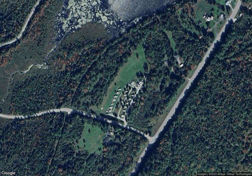
Map
Nearby Homes
- 125 Parker Rd
- 0 Evergreen Dr
- 28 Gould Rd
- 170 S Whitefield Rd
- 0 Thorn Hill Rd Unit 22 5063258
- 61 Thorn Hill Rd
- Lot 90 Faraway Rd
- 19 Elm St
- 0 Jefferson Rd Unit 3 5063272
- 56 Jefferson Rd
- 75 Elm St
- 78 Hazen Rd
- 686 Wing Rd
- 4 Ridgeview Terrace
- Lot 11 Mirror Lake Rd
- Lot 10 Mcintyre Rd
- Lot 1 Mcintyre Rd
- TBD Mcintyre Rd
- Lot 3 Mcintyre Rd
- Lot 4 Mcintyre Rd
- 506 Littleton Rd
- 23.1 Littleton Rd
- 504 Littleton Rd
- 15 Forest Lake Rd
- 0 Forest Lake Rd
- 5 Forest Ln Unit 47
- 5 Forest Ln Unit 48
- 35 Forest Ln Unit 43
- 35 Forest Ln Unit ID1248464P
- 35 Forest Ln Unit ID1248500P
- 35 Forest Ln Unit 44
- 670 Littleton Rd
- 486 Littleton Rd
- 00 Littleton Rd
- 482 Littleton Rd
- 69 Forest Lane Unit #37 Unit 37
- 69 Forest Ln Unit 37
- 72 Forest Ln Unit ID1248423P
- 72 Forest Ln Unit 25
- 468 Littleton Rd