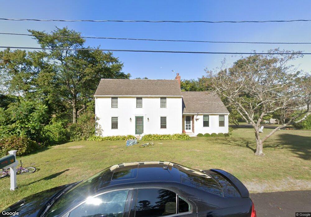
14 Foxwell Ln Scituate, MA 02066
Estimated Value: $857,000 - $1,397,000
4
Beds
3
Baths
2,148
Sq Ft
$520/Sq Ft
Est. Value
About This Home
This home is located at 14 Foxwell Ln, Scituate, MA 02066 and is currently estimated at $1,116,846, approximately $519 per square foot. 14 Foxwell Ln is a home located in Plymouth County with nearby schools including Jenkins Elementary School, Lester J. Gates Middle School, and Scituate High School.
Ownership History
Date
Name
Owned For
Owner Type
Purchase Details
Closed on
Jul 17, 2015
Sold by
Blanchard Elizabeth M
Bought by
Maguire Jessica and Maguire Stephen
Current Estimated Value
Home Financials for this Owner
Home Financials are based on the most recent Mortgage that was taken out on this home.
Original Mortgage
$393,600
Outstanding Balance
$307,120
Interest Rate
3.88%
Mortgage Type
New Conventional
Estimated Equity
$809,726
Create a Home Valuation Report for This Property
The Home Valuation Report is an in-depth analysis detailing your home's value as well as a comparison with similar homes in the area
Home Values in the Area
Average Home Value in this Area
Purchase History
| Date | Buyer | Sale Price | Title Company |
|---|---|---|---|
| Maguire Jessica | $500,000 | -- |
Source: Public Records
Mortgage History
| Date | Status | Borrower | Loan Amount |
|---|---|---|---|
| Open | Maguire Jessica | $393,600 |
Source: Public Records
Tax History Compared to Growth
Tax History
| Year | Tax Paid | Tax Assessment Tax Assessment Total Assessment is a certain percentage of the fair market value that is determined by local assessors to be the total taxable value of land and additions on the property. | Land | Improvement |
|---|---|---|---|---|
| 2025 | $9,277 | $928,600 | $503,600 | $425,000 |
| 2024 | $9,435 | $910,700 | $476,100 | $434,600 |
| 2023 | $9,112 | $835,800 | $433,000 | $402,800 |
| 2022 | $9,112 | $722,000 | $379,900 | $342,100 |
| 2021 | $8,899 | $667,600 | $361,800 | $305,800 |
| 2020 | $8,678 | $642,800 | $347,800 | $295,000 |
| 2019 | $8,557 | $622,800 | $341,000 | $281,800 |
| 2018 | $8,020 | $574,900 | $324,800 | $250,100 |
| 2017 | $7,658 | $543,500 | $303,200 | $240,300 |
| 2016 | $6,728 | $475,800 | $303,200 | $172,600 |
| 2015 | $5,949 | $454,100 | $281,500 | $172,600 |
Source: Public Records
Map
Nearby Homes
- 2 Collier Rd
- 59 Greenfield Ln
- 67 Greenfield Ln
- 37 Moorland Rd
- 12 Meeting House Ln Unit 308
- 48 Moorland Rd
- 50 First Parish Rd
- 91 Front St Unit 106
- 76 A Brook St
- 76 A Brook St Unit 1
- 29 Ladds Way Unit 29
- 23 Sunset Rd
- 19 Ford Place Unit 3
- 19 Ford Place Unit 1
- 19 Ford Place Unit 4
- 74 Tilden Rd
- 146 Chief Justice Cushing Hwy
- 12 Sassamon Rd
- 32 Barker Rd Unit 3
- 26 Damons Point Cir