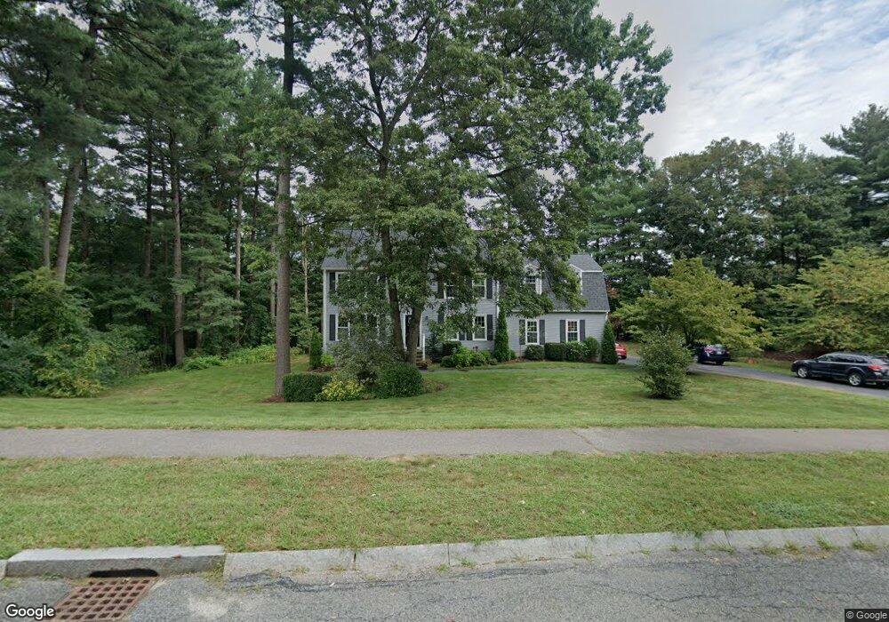
14 Griffin Rd Franklin, MA 02038
Estimated Value: $849,000 - $947,000
4
Beds
3
Baths
2,448
Sq Ft
$366/Sq Ft
Est. Value
About This Home
This home is located at 14 Griffin Rd, Franklin, MA 02038 and is currently estimated at $896,375, approximately $366 per square foot. 14 Griffin Rd is a home located in Norfolk County with nearby schools including Oak Street Elementary School, Horace Mann Middle School, and Franklin High School.
Ownership History
Date
Name
Owned For
Owner Type
Purchase Details
Closed on
May 24, 2000
Sold by
Foley John J and Foley Denise E
Bought by
Clark Christopher P and Clark Janice M
Current Estimated Value
Home Financials for this Owner
Home Financials are based on the most recent Mortgage that was taken out on this home.
Original Mortgage
$252,700
Outstanding Balance
$87,048
Interest Rate
8.1%
Mortgage Type
Purchase Money Mortgage
Estimated Equity
$809,327
Purchase Details
Closed on
Sep 17, 1996
Sold by
Krafty Robert C and Krafty Kathleen M
Bought by
Foley John J and Foley Denise E
Home Financials for this Owner
Home Financials are based on the most recent Mortgage that was taken out on this home.
Original Mortgage
$197,965
Interest Rate
8.18%
Mortgage Type
Purchase Money Mortgage
Purchase Details
Closed on
Sep 5, 1990
Sold by
Oak Ridge Construct Co
Bought by
Krafty Robert C
Create a Home Valuation Report for This Property
The Home Valuation Report is an in-depth analysis detailing your home's value as well as a comparison with similar homes in the area
Purchase History
| Date | Buyer | Sale Price | Title Company |
|---|---|---|---|
| Clark Christopher P | $329,900 | -- | |
| Foley John J | $232,900 | -- | |
| Krafty Robert C | $210,000 | -- |
Source: Public Records
Mortgage History
| Date | Status | Borrower | Loan Amount |
|---|---|---|---|
| Open | Krafty Robert C | $252,700 | |
| Previous Owner | Krafty Robert C | $15,000 | |
| Previous Owner | Krafty Robert C | $197,965 | |
| Previous Owner | Krafty Robert C | $128,000 |
Source: Public Records
Tax History
| Year | Tax Paid | Tax Assessment Tax Assessment Total Assessment is a certain percentage of the fair market value that is determined by local assessors to be the total taxable value of land and additions on the property. | Land | Improvement |
|---|---|---|---|---|
| 2025 | $8,904 | $766,300 | $366,000 | $400,300 |
| 2024 | $9,035 | $766,300 | $366,000 | $400,300 |
| 2023 | $8,777 | $697,700 | $339,700 | $358,000 |
| 2022 | $8,547 | $608,300 | $292,800 | $315,500 |
| 2021 | $7,974 | $544,300 | $280,800 | $263,500 |
| 2020 | $7,750 | $534,100 | $283,600 | $250,500 |
| 2019 | $7,787 | $531,200 | $280,800 | $250,400 |
| 2018 | $7,359 | $502,300 | $277,900 | $224,400 |
| 2017 | $7,449 | $510,900 | $286,500 | $224,400 |
| 2016 | $6,786 | $468,000 | $248,000 | $220,000 |
| 2015 | $6,815 | $459,200 | $239,200 | $220,000 |
| 2014 | $6,349 | $439,400 | $219,400 | $220,000 |
Source: Public Records
Map
Nearby Homes
- 14 Waites Crossing
- 10 Waites Crossing
- 9 Elliot Mills Unit 5
- 8 Elliot Mills Unit 30
- 5 Elliot Mills Unit 3
- 7 Elliot Mills Unit 4
- 10 Elliot Mills Unit 29
- 19 Waites Crossing
- 13 Waites Crossing
- 11 Waites Crossing
- 22 Waites Crossing
- 75 Jordan Rd
- 3 Oak View Terrace Unit 3
- 204 Lincoln St
- 0 Toils End Rd
- 30 Longobardi Dr Unit 30
- 17 Longhill Rd
- 298 Main St
- 14 Pleasant St Unit B
- 99 Leland Rd
- 571 Chestnut St
- 12 Griffin Rd
- 569 Chestnut St
- 23 Matthew Dr
- 568 Chestnut St
- 570 Chestnut St
- 570 Chestnut St Unit 1
- 570 Chestnut St Unit 570
- 10 Griffin Rd
- 575 Chestnut St
- 24 Matthew Dr
- 21 Matthew Dr
- 567 Chestnut St
- 9 Griffin Rd
- 22 Matthew Dr
- 54 Acorn Place
- 8 Griffin Rd
- 57 Acorn Place
- 7 Griffin Rd
- 19 Matthew Dr
Your Personal Tour Guide
Ask me questions while you tour the home.