14 Liberty Dr Londonderry, NH 03053
Estimated Value: $4,411,680
--
Bed
--
Bath
34,879
Sq Ft
$126/Sq Ft
Est. Value
About This Home
This home is located at 14 Liberty Dr, Londonderry, NH 03053 and is currently estimated at $4,411,680, approximately $126 per square foot. 14 Liberty Dr is a home located in Rockingham County with nearby schools including North Londonderry Elementary School, Londonderry Middle School, and Londonderry Senior High School.
Ownership History
Date
Name
Owned For
Owner Type
Purchase Details
Closed on
Feb 22, 2021
Sold by
Agc Reatly Assoc
Bought by
14 Liberty Drive Llc
Current Estimated Value
Home Financials for this Owner
Home Financials are based on the most recent Mortgage that was taken out on this home.
Original Mortgage
$2,860,000
Outstanding Balance
$2,555,741
Interest Rate
2.65%
Mortgage Type
Purchase Money Mortgage
Estimated Equity
$1,855,939
Purchase Details
Closed on
May 7, 1999
Sold by
Galluzzo Corp Anthony
Bought by
Agc Rlty Assoc
Purchase Details
Closed on
Apr 27, 1998
Sold by
Cmi Leasing Corp
Bought by
Anthony Galluzzo Corp
Create a Home Valuation Report for This Property
The Home Valuation Report is an in-depth analysis detailing your home's value as well as a comparison with similar homes in the area
Home Values in the Area
Average Home Value in this Area
Purchase History
| Date | Buyer | Sale Price | Title Company |
|---|---|---|---|
| 14 Liberty Drive Llc | $2,900,000 | None Available | |
| Agc Rlty Assoc | $1,441,400 | -- | |
| Anthony Galluzzo Corp | $244,000 | -- |
Source: Public Records
Mortgage History
| Date | Status | Borrower | Loan Amount |
|---|---|---|---|
| Open | 14 Liberty Drive Llc | $2,860,000 | |
| Previous Owner | Anthony Galluzzo Corp | $454,653 |
Source: Public Records
Tax History Compared to Growth
Tax History
| Year | Tax Paid | Tax Assessment Tax Assessment Total Assessment is a certain percentage of the fair market value that is determined by local assessors to be the total taxable value of land and additions on the property. | Land | Improvement |
|---|---|---|---|---|
| 2024 | $38,730 | $2,399,600 | $699,900 | $1,699,700 |
| 2023 | $37,554 | $2,399,600 | $699,900 | $1,699,700 |
| 2022 | $37,843 | $2,047,800 | $513,300 | $1,534,500 |
| 2021 | $37,639 | $2,047,800 | $513,300 | $1,534,500 |
| 2020 | $40,638 | $2,020,800 | $691,500 | $1,329,300 |
| 2019 | $39,183 | $2,020,800 | $691,500 | $1,329,300 |
| 2018 | $36,718 | $1,684,300 | $479,800 | $1,204,500 |
| 2017 | $36,398 | $1,684,300 | $479,800 | $1,204,500 |
| 2016 | $36,212 | $1,684,300 | $479,800 | $1,204,500 |
| 2015 | $37,596 | $1,788,600 | $479,800 | $1,308,800 |
| 2014 | $37,722 | $1,788,600 | $479,800 | $1,308,800 |
| 2011 | -- | $1,602,300 | $479,800 | $1,122,500 |
Source: Public Records
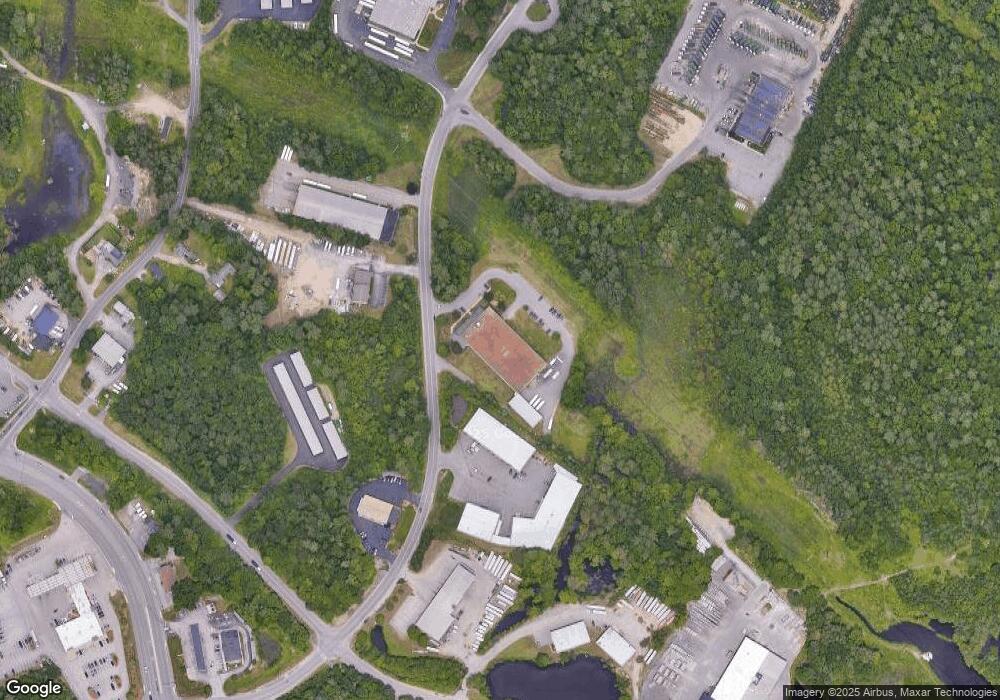
Map
Nearby Homes
- 10 Auburn Rd
- 19 Auburn Rd
- 103 Rockingham Rd Unit 1
- 103 Rockingham Rd Unit 2
- 36 Perkins Rd
- 4 Crestview Cir Unit 119
- 32 Noyes Rd
- 75 Rockingham Rd
- 50 Bartley Hill Rd
- 38 Bartley Hill Rd
- 17 Welch Rd
- 55 Norwich Place
- 34 Conifer Place
- 9 Dattillo Rd
- 52 Daniel Rd
- 50 Daniel Rd
- 54 Daniel Rd
- 40 Pinyon Place
- 27 Cove Dr
- 7 Gena Ave
- 12 Liberty Dr Unit 7,8,9
- 12 Liberty Dr
- 12 Liberty Dr Unit 11
- 12 Liberty Dr Unit 11
- 12 Liberty Dr Unit 4-5
- 12 Liberty Dr
- 12 Liberty Dr Unit 2B
- 12 Liberty Dr Unit 2A
- 12 Liberty Dr Unit 7 & 8
- 12 Liberty Dr
- 107 Rockingham Rd
- 107 Rockingham Rd Unit B
- 107 Rockingham Rd Unit A
- 10 Liberty Dr Unit 2B
- 15 Liberty Dr
- 12b Auburn Rd
- 12A Auburn Rd
- 810 Liberty Dr Unit 1 & 2A
- 9 Auburn Rd
- 130 Rockingham Road (Rl-230)