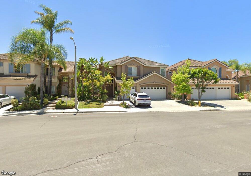
14 Pompeii Irvine, CA 92606
Westpark NeighborhoodEstimated Value: $2,292,249 - $2,652,000
5
Beds
4
Baths
3,124
Sq Ft
$808/Sq Ft
Est. Value
About This Home
This home is located at 14 Pompeii, Irvine, CA 92606 and is currently estimated at $2,524,562, approximately $808 per square foot. 14 Pompeii is a home located in Orange County with nearby schools including Plaza Vista K-8 School, Lakeside Middle School, and Irvine High School.
Ownership History
Date
Name
Owned For
Owner Type
Purchase Details
Closed on
Feb 7, 2011
Sold by
Wing Malcolm C and Wing Cindy K
Bought by
Wing Malcolm C and Wing Cindy K
Current Estimated Value
Home Financials for this Owner
Home Financials are based on the most recent Mortgage that was taken out on this home.
Original Mortgage
$188,600
Outstanding Balance
$7,249
Interest Rate
4.75%
Mortgage Type
New Conventional
Estimated Equity
$2,517,313
Purchase Details
Closed on
Dec 27, 2007
Sold by
Wing Malcolm C and Wing Cindy K
Bought by
Wing Malcolm C and Wing Cindy K
Purchase Details
Closed on
Aug 26, 1996
Sold by
Standard Pacific Corp
Bought by
Wing Malcolm C and Wing Cindy K
Home Financials for this Owner
Home Financials are based on the most recent Mortgage that was taken out on this home.
Original Mortgage
$298,000
Interest Rate
8.23%
Create a Home Valuation Report for This Property
The Home Valuation Report is an in-depth analysis detailing your home's value as well as a comparison with similar homes in the area
Home Values in the Area
Average Home Value in this Area
Purchase History
| Date | Buyer | Sale Price | Title Company |
|---|---|---|---|
| Wing Malcolm C | -- | First American Title Insuran | |
| Wing Malcolm C | -- | None Available | |
| Wing Malcolm C | $385,000 | First American Title Ins |
Source: Public Records
Mortgage History
| Date | Status | Borrower | Loan Amount |
|---|---|---|---|
| Open | Wing Malcolm C | $188,600 | |
| Closed | Wing Malcolm C | $298,000 |
Source: Public Records
Tax History
| Year | Tax Paid | Tax Assessment Tax Assessment Total Assessment is a certain percentage of the fair market value that is determined by local assessors to be the total taxable value of land and additions on the property. | Land | Improvement |
|---|---|---|---|---|
| 2025 | $6,676 | $639,417 | $176,759 | $462,658 |
| 2024 | $6,676 | $626,880 | $173,293 | $453,587 |
| 2023 | $6,503 | $614,589 | $169,895 | $444,694 |
| 2022 | $6,377 | $602,539 | $166,564 | $435,975 |
| 2021 | $6,230 | $590,725 | $163,298 | $427,427 |
| 2020 | $6,194 | $584,668 | $161,623 | $423,045 |
| 2019 | $6,942 | $573,204 | $158,454 | $414,750 |
| 2018 | $7,116 | $561,965 | $155,347 | $406,618 |
| 2017 | $7,069 | $550,947 | $152,301 | $398,646 |
| 2016 | $6,869 | $540,145 | $149,315 | $390,830 |
| 2015 | $6,724 | $532,032 | $147,072 | $384,960 |
| 2014 | $6,701 | $521,611 | $144,191 | $377,420 |
Source: Public Records
Map
Nearby Homes
- 11 Pienza
- 26 Morning Dove
- 369 Deerfield Ave Unit 35
- 390 Deerfield Ave Unit 125
- 24 Millstone Unit 137
- 16626 Mosscreek St
- 424 Deerfield Ave Unit 172
- 328 Flyers Ln
- 280 Tustin Field Dr
- 175 Zephyr Run Unit 175
- 374 Aviator Ln
- 12 Oakdale
- 10 Alderbrook
- 8 Sandpiper
- 279 Barnes Rd
- 802 Marinella Aisle
- 3229 Larkspur St
- 29 Sandstone
- 57 Pinewood Unit 29
- 14 Dragonfly Unit 25
Your Personal Tour Guide
Ask me questions while you tour the home.