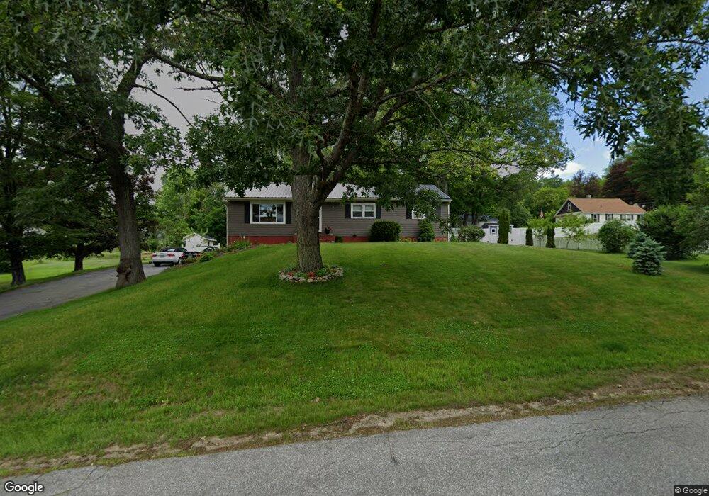
14 Proctor St Franklin, NH 03235
Estimated Value: $352,000 - $367,000
3
Beds
2
Baths
1,561
Sq Ft
$231/Sq Ft
Est. Value
About This Home
This home is located at 14 Proctor St, Franklin, NH 03235 and is currently estimated at $361,188, approximately $231 per square foot. 14 Proctor St is a home located in Merrimack County with nearby schools including Paul A. Smith School, Franklin Middle School, and Franklin High School.
Ownership History
Date
Name
Owned For
Owner Type
Purchase Details
Closed on
Apr 20, 2000
Sold by
Lambert Gene S and Lambert Laurendale T
Bought by
Hanright Thomas J and Hanright Michele M
Current Estimated Value
Home Financials for this Owner
Home Financials are based on the most recent Mortgage that was taken out on this home.
Original Mortgage
$90,751
Interest Rate
8.21%
Create a Home Valuation Report for This Property
The Home Valuation Report is an in-depth analysis detailing your home's value as well as a comparison with similar homes in the area
Home Values in the Area
Average Home Value in this Area
Purchase History
| Date | Buyer | Sale Price | Title Company |
|---|---|---|---|
| Hanright Thomas J | $91,500 | -- |
Source: Public Records
Mortgage History
| Date | Status | Borrower | Loan Amount |
|---|---|---|---|
| Open | Hanright Thomas J | $108,000 | |
| Closed | Hanright Thomas J | $110,000 | |
| Closed | Hanright Thomas J | $90,751 |
Source: Public Records
Tax History
| Year | Tax Paid | Tax Assessment Tax Assessment Total Assessment is a certain percentage of the fair market value that is determined by local assessors to be the total taxable value of land and additions on the property. | Land | Improvement |
|---|---|---|---|---|
| 2025 | $4,961 | $281,400 | $76,600 | $204,800 |
| 2024 | $4,826 | $281,400 | $76,600 | $204,800 |
| 2023 | $4,576 | $281,400 | $76,600 | $204,800 |
| 2022 | $4,090 | $167,700 | $63,100 | $104,600 |
| 2021 | $3,741 | $161,200 | $63,100 | $98,100 |
| 2020 | $3,682 | $161,200 | $63,100 | $98,100 |
| 2019 | $3,622 | $161,200 | $63,100 | $98,100 |
| 2018 | $3,538 | $161,100 | $63,100 | $98,000 |
| 2017 | $3,581 | $140,100 | $29,700 | $110,400 |
| 2016 | $3,532 | $140,000 | $29,700 | $110,300 |
| 2015 | $2,445 | $98,000 | $20,790 | $77,210 |
| 2011 | $3,428 | $159,300 | $34,200 | $125,100 |
Source: Public Records
Map
Nearby Homes
- Lot 4 Piper St
- 0 Rowell Dr Unit 406 5043422
- 225 Kendall St
- 416 Central St
- 18 Highland Ave
- 24 Munroe St Unit 1&2
- 88 Franklin St
- 5 Evans Ct
- 69 Cheney St
- 12 Village Way Unit 38
- 2 Hutchinson St
- 27 Bond St
- 40 Millstone Dr Unit 60
- 48 Millstone Dr Unit 58
- 50 Millstone Dr Unit 57
- 22 Stonehenge Cir Unit 7
- 11 Stonehenge Cir Unit 2
- 15 Millstone Dr Unit 15
- 41 Village Way Unit 22
- 9 Stonehenge Cir Unit 1
Your Personal Tour Guide
Ask me questions while you tour the home.