14 State Farm Rd Charlemont, MA 01339
Heath NeighborhoodEstimated Value: $313,604 - $469,000
3
Beds
3
Baths
1,664
Sq Ft
$236/Sq Ft
Est. Value
About This Home
This home is located at 14 State Farm Rd, Charlemont, MA 01339 and is currently estimated at $392,651, approximately $235 per square foot. 14 State Farm Rd is a home located in Franklin County with nearby schools including Mohawk Trail Regional High School.
Ownership History
Date
Name
Owned For
Owner Type
Purchase Details
Closed on
Oct 28, 2005
Sold by
Pettengill Kirk S and Pettengill Sandra L
Bought by
Hallman Harry W and Hallman Julieanne S
Current Estimated Value
Home Financials for this Owner
Home Financials are based on the most recent Mortgage that was taken out on this home.
Original Mortgage
$164,900
Outstanding Balance
$88,966
Interest Rate
5.79%
Mortgage Type
Purchase Money Mortgage
Estimated Equity
$303,685
Create a Home Valuation Report for This Property
The Home Valuation Report is an in-depth analysis detailing your home's value as well as a comparison with similar homes in the area
Home Values in the Area
Average Home Value in this Area
Purchase History
| Date | Buyer | Sale Price | Title Company |
|---|---|---|---|
| Hallman Harry W | $264,900 | -- |
Source: Public Records
Mortgage History
| Date | Status | Borrower | Loan Amount |
|---|---|---|---|
| Open | Hallman Harry W | $164,900 |
Source: Public Records
Tax History Compared to Growth
Tax History
| Year | Tax Paid | Tax Assessment Tax Assessment Total Assessment is a certain percentage of the fair market value that is determined by local assessors to be the total taxable value of land and additions on the property. | Land | Improvement |
|---|---|---|---|---|
| 2025 | $4,757 | $252,900 | $38,000 | $214,900 |
| 2024 | $5,112 | $250,200 | $34,000 | $216,200 |
| 2023 | $5,409 | $236,400 | $25,000 | $211,400 |
| 2022 | $4,990 | $232,000 | $25,000 | $207,000 |
| 2021 | $4,355 | $193,400 | $25,000 | $168,400 |
| 2020 | $4,303 | $193,400 | $24,000 | $169,400 |
| 2019 | $4,216 | $195,200 | $24,000 | $171,200 |
| 2018 | $4,257 | $195,200 | $24,000 | $171,200 |
| 2017 | $3,994 | $190,300 | $24,000 | $166,300 |
| 2016 | $3,924 | $191,300 | $24,000 | $167,300 |
| 2015 | $3,838 | $192,300 | $24,000 | $168,300 |
Source: Public Records
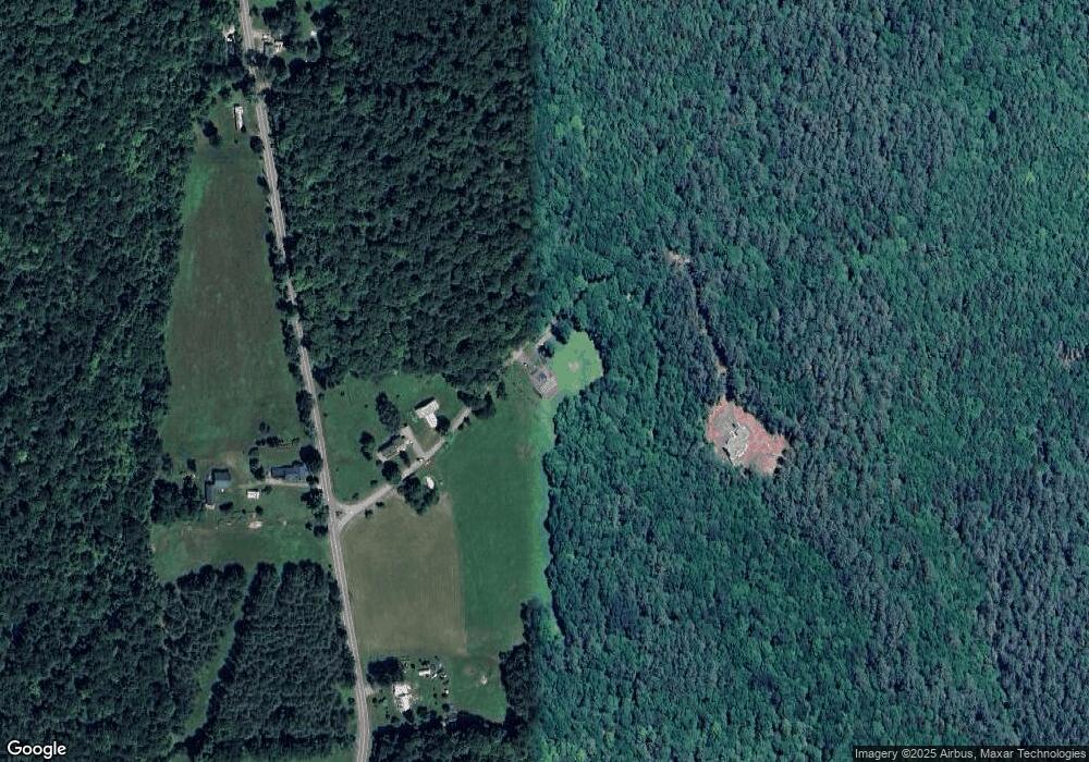
Map
Nearby Homes
- 594 Massachusetts 8a
- 442 Mcmillan Rd
- 1192 Chapel Hill Rd
- 2173 Vermont 8a
- 1154 Vermont 8a
- 251 Phillips Hill Rd
- 61 Ed Clark Rd
- 380 Smith Rd
- 829 Pennel Hill Rd
- 60 Stone Hill Rd
- 4668 Vermont 112
- 104 Karen Day Rd
- 6 Chippewa Dr
- 1587 Upper Holbrook Rd
- Lot 121 Davis Mine Rd
- 139 Taylor Brook Rd
- 14 South Rd
- 210 Burrington Hill Rd
- 32 Navaho Ln
- 1917 Stowe Mountain Rd