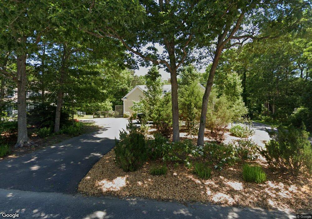
14 Wilann Rd Mashpee, MA 02649
Estimated Value: $887,000 - $1,088,000
3
Beds
4
Baths
2,744
Sq Ft
$366/Sq Ft
Est. Value
About This Home
This home is located at 14 Wilann Rd, Mashpee, MA 02649 and is currently estimated at $1,003,610, approximately $365 per square foot. 14 Wilann Rd is a home located in Barnstable County with nearby schools including Kenneth C. Coombs School, Quashnet School, and Mashpee Middle School.
Ownership History
Date
Name
Owned For
Owner Type
Purchase Details
Closed on
Apr 6, 2018
Sold by
County Mortgage Llc
Bought by
Lattanzio Adam J and Lattanzio Stephanie
Current Estimated Value
Home Financials for this Owner
Home Financials are based on the most recent Mortgage that was taken out on this home.
Original Mortgage
$340,000
Outstanding Balance
$292,122
Interest Rate
4.4%
Mortgage Type
New Conventional
Estimated Equity
$711,488
Purchase Details
Closed on
May 24, 2017
Sold by
Depaul Arthur
Bought by
County Mortgage Llc
Purchase Details
Closed on
Dec 1, 2011
Sold by
Ward Janie V
Bought by
Land Ho Ret and Griffiths James P
Home Financials for this Owner
Home Financials are based on the most recent Mortgage that was taken out on this home.
Original Mortgage
$60,000
Interest Rate
4.1%
Mortgage Type
Purchase Money Mortgage
Purchase Details
Closed on
Feb 18, 2005
Sold by
Ward Janie V and Ward Lillian H
Bought by
Ward Preston M
Create a Home Valuation Report for This Property
The Home Valuation Report is an in-depth analysis detailing your home's value as well as a comparison with similar homes in the area
Home Values in the Area
Average Home Value in this Area
Purchase History
| Date | Buyer | Sale Price | Title Company |
|---|---|---|---|
| Lattanzio Adam J | $425,000 | -- | |
| County Mortgage Llc | $330,000 | -- | |
| Land Ho Ret | $60,000 | -- | |
| Ward Preston M | -- | -- |
Source: Public Records
Mortgage History
| Date | Status | Borrower | Loan Amount |
|---|---|---|---|
| Open | Lattanzio Adam J | $340,000 | |
| Previous Owner | Land Ho Ret | $60,000 |
Source: Public Records
Tax History Compared to Growth
Tax History
| Year | Tax Paid | Tax Assessment Tax Assessment Total Assessment is a certain percentage of the fair market value that is determined by local assessors to be the total taxable value of land and additions on the property. | Land | Improvement |
|---|---|---|---|---|
| 2025 | $6,406 | $967,700 | $194,100 | $773,600 |
| 2024 | $5,929 | $922,100 | $176,500 | $745,600 |
| 2023 | $5,461 | $779,000 | $168,100 | $610,900 |
| 2022 | $5,245 | $642,000 | $136,700 | $505,300 |
| 2021 | $4,755 | $524,300 | $123,100 | $401,200 |
| 2020 | $4,624 | $508,700 | $118,400 | $390,300 |
| 2019 | $4,383 | $484,300 | $118,400 | $365,900 |
| 2018 | $2,585 | $480,900 | $118,400 | $362,500 |
| 2017 | $4,101 | $446,300 | $118,400 | $327,900 |
| 2016 | $3,933 | $425,700 | $118,400 | $307,300 |
| 2015 | $1,079 | $118,400 | $118,400 | $0 |
| 2014 | $1,098 | $116,900 | $116,900 | $0 |
Source: Public Records
Map
Nearby Homes
- 35 Claulise Ln
- 22 Stratford Ridge Unit 22
- 30 Windsor Point
- 235 Main St
- 5 Darby Point Unit 5
- 4 Bishops Park
- 6 Mayfair Ct
- 6 Mayfair Ct Unit 6
- 295 Pheasant Hill Cir
- 16 Spring Brook Ln
- 100 Great Neck Rd N Unit 3
- 100 Great Neck Rd N Unit 1003
- 45 Pequot Rd
- 20 Windsor Way
- 195 Falmouth Rd Unit 10E
- 195 Falmouth Rd Unit 12F
- 195 Falmouth Rd Unit 9D
- 195 Falmouth Rd Unit 7B
- 26 Collins Ln
- 70 Cape Dr Unit 14D