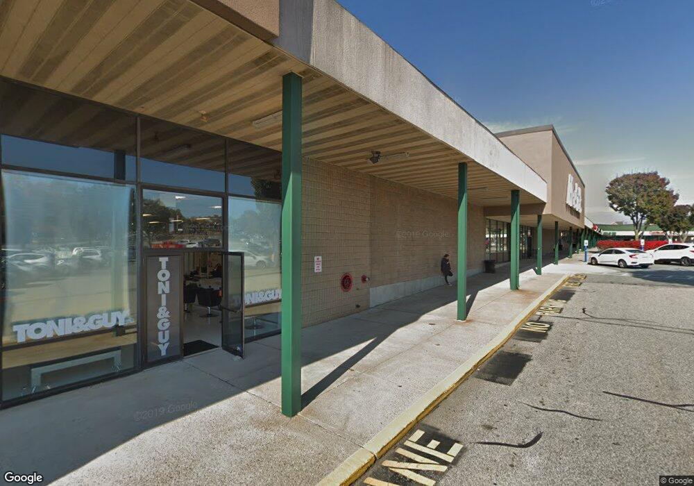
1400 Oaklawn Ave Cranston, RI 02920
Garden Hills NeighborhoodEstimated Value: $29,116,036
--
Bed
--
Bath
117,756
Sq Ft
$247/Sq Ft
Est. Value
About This Home
This home is located at 1400 Oaklawn Ave, Cranston, RI 02920 and is currently estimated at $29,116,036, approximately $247 per square foot. 1400 Oaklawn Ave is a home located in Providence County with nearby schools including Garden City School, Western Hills Middle School, and Cranston High School West.
Ownership History
Date
Name
Owned For
Owner Type
Purchase Details
Closed on
Jan 11, 2018
Sold by
Kimco Cranston 691 Llc
Bought by
Tbp Cranston Llc
Current Estimated Value
Home Financials for this Owner
Home Financials are based on the most recent Mortgage that was taken out on this home.
Original Mortgage
$10,775,000
Outstanding Balance
$2,802,367
Interest Rate
3.9%
Mortgage Type
Unknown
Estimated Equity
$26,313,669
Create a Home Valuation Report for This Property
The Home Valuation Report is an in-depth analysis detailing your home's value as well as a comparison with similar homes in the area
Home Values in the Area
Average Home Value in this Area
Purchase History
| Date | Buyer | Sale Price | Title Company |
|---|---|---|---|
| Tbp Cranston Llc | $15,150,000 | -- |
Source: Public Records
Mortgage History
| Date | Status | Borrower | Loan Amount |
|---|---|---|---|
| Open | Tbp Cranston Llc | $10,775,000 |
Source: Public Records
Tax History Compared to Growth
Tax History
| Year | Tax Paid | Tax Assessment Tax Assessment Total Assessment is a certain percentage of the fair market value that is determined by local assessors to be the total taxable value of land and additions on the property. | Land | Improvement |
|---|---|---|---|---|
| 2025 | $311,965 | $14,983,900 | $5,316,700 | $9,667,200 |
| 2024 | $305,971 | $14,983,900 | $5,316,700 | $9,667,200 |
| 2023 | $391,726 | $13,817,500 | $4,560,900 | $9,256,600 |
| 2022 | $383,712 | $13,817,500 | $4,560,900 | $9,256,600 |
| 2021 | $373,073 | $13,817,500 | $4,560,900 | $9,256,600 |
| 2020 | $390,341 | $12,527,000 | $3,909,300 | $8,617,700 |
| 2019 | $390,341 | $12,527,000 | $3,909,300 | $8,617,700 |
| 2018 | $381,322 | $12,527,000 | $3,909,300 | $8,617,700 |
| 2017 | $377,147 | $10,960,400 | $3,909,300 | $7,051,100 |
| 2016 | $369,146 | $10,960,400 | $3,909,300 | $7,051,100 |
| 2015 | $369,146 | $10,960,400 | $3,909,300 | $7,051,100 |
| 2014 | $469,663 | $13,712,800 | $4,117,800 | $9,595,000 |
Source: Public Records
Map
Nearby Homes
- 61 Rose Hill Dr
- 112 Greenwich Ave
- 20 Manor Rd
- 14 W Natick Rd
- 11 Chaple Dr
- 16 Eastman St
- 16 Flynn Ave
- 37 Carriage Rd
- 11 Crossland Rd
- 91 Ridgeway Rd
- 33 Samuel Ct
- 61 Crossland Rd
- 74 Pontiac St
- 54 River St Unit 4
- 81 W Pontiac St
- 10 East St Unit 316
- 10 East St Unit 205
- 25 Stoneham St
- 71 Steven Dr
- 780 Providence St
- 112 Bald Hill Rd
- 702 Mayfield Ave Unit 702
- 601 Mayfield Ave Unit 601
- 602 Mayfield Ave Unit 602
- 66 Bald Hill Rd
- 1460 Oaklawn Ave
- 1500 Oaklawn Ave
- 0 Greenwich Ave
- 254 Bateman Ave
- 326 Mayfield Ave
- 245 Bateman Ave
- 250 Bateman Ave
- 320 Mayfield Ave
- 0 Lambert Lind Hwy
- 240 Bateman Ave
- 325 Mayfield Ave
- 10 Greenwich Ave
- 202 Bald Hill Rd Unit A/B/C
- 314 Mayfield Ave
- 1263 Oaklawn Ave