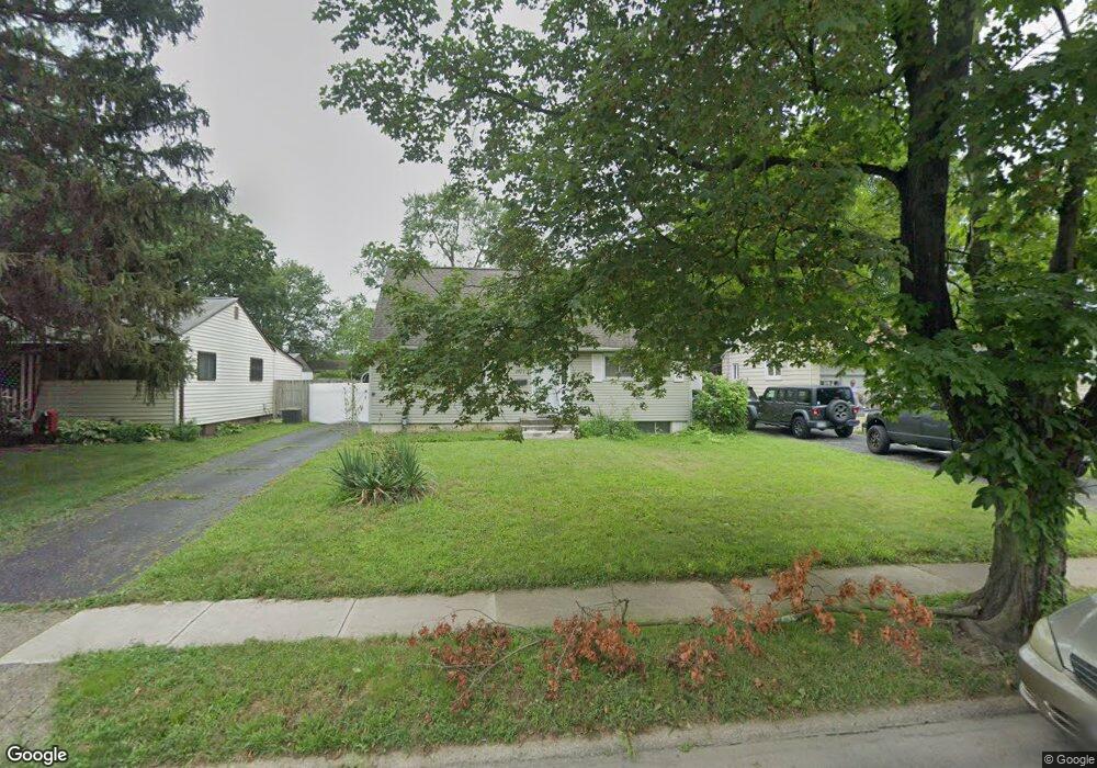
1407 Barnett Rd Columbus, OH 43227
Linwood NeighborhoodEstimated Value: $195,716 - $229,000
4
Beds
2
Baths
1,300
Sq Ft
$168/Sq Ft
Est. Value
About This Home
This home is located at 1407 Barnett Rd, Columbus, OH 43227 and is currently estimated at $218,679, approximately $168 per square foot. 1407 Barnett Rd is a home located in Franklin County with nearby schools including Scottwood Elementary School, Johnson Park Middle School, and Walnut Ridge High School.
Ownership History
Date
Name
Owned For
Owner Type
Purchase Details
Closed on
Aug 20, 1999
Sold by
Thompson Ellis Rodney D and Thompson Ellis Pamela
Bought by
Moore Carol M
Current Estimated Value
Home Financials for this Owner
Home Financials are based on the most recent Mortgage that was taken out on this home.
Original Mortgage
$77,500
Interest Rate
7.7%
Purchase Details
Closed on
Dec 2, 1988
Bought by
Ellis Rodney D
Create a Home Valuation Report for This Property
The Home Valuation Report is an in-depth analysis detailing your home's value as well as a comparison with similar homes in the area
Home Values in the Area
Average Home Value in this Area
Purchase History
| Date | Buyer | Sale Price | Title Company |
|---|---|---|---|
| Moore Carol M | -- | None Available | |
| Moore Carol M | $79,900 | Connor Title Co | |
| Ellis Rodney D | $58,000 | -- |
Source: Public Records
Mortgage History
| Date | Status | Borrower | Loan Amount |
|---|---|---|---|
| Previous Owner | Moore Carol M | $77,500 |
Source: Public Records
Tax History
| Year | Tax Paid | Tax Assessment Tax Assessment Total Assessment is a certain percentage of the fair market value that is determined by local assessors to be the total taxable value of land and additions on the property. | Land | Improvement |
|---|---|---|---|---|
| 2025 | $2,650 | $59,050 | $14,460 | $44,590 |
| 2024 | $2,650 | $59,050 | $14,460 | $44,590 |
| 2023 | $2,616 | $59,045 | $14,455 | $44,590 |
| 2022 | $1,637 | $31,570 | $7,350 | $24,220 |
| 2021 | $1,640 | $31,570 | $7,350 | $24,220 |
| 2020 | $1,642 | $31,570 | $7,350 | $24,220 |
| 2019 | $1,559 | $25,700 | $6,130 | $19,570 |
| 2018 | $1,562 | $25,700 | $6,130 | $19,570 |
| 2017 | $1,643 | $25,700 | $6,130 | $19,570 |
| 2016 | $1,728 | $26,080 | $5,110 | $20,970 |
| 2015 | $1,568 | $26,080 | $5,110 | $20,970 |
| 2014 | $1,572 | $26,080 | $5,110 | $20,970 |
| 2013 | $862 | $28,980 | $5,670 | $23,310 |
Source: Public Records
Map
Nearby Homes
- 1353 Barnett Rd
- 3285 Scottwood Rd
- 3428 LIV Moor Dr
- 3622 Cushing Dr Unit C
- 3325 E Deshler Ave
- 3064 Niagara Ct E
- 1341 Millerdale Rd
- 1042 S Hampton Rd
- 2956 Castlewood Rd
- 1106 S James Rd
- 3608 Bolton Ave
- 1637 S James Rd
- 1679 Penfield Rd
- 3598 Astor Ave
- 1619 Basil Dr
- 1048 S James Rd
- 1455 Wilmore Dr
- 2963 Brownlee Ave
- 1836 Penfield Ct S
- 2966 Brownlee Ave
Your Personal Tour Guide
Ask me questions while you tour the home.