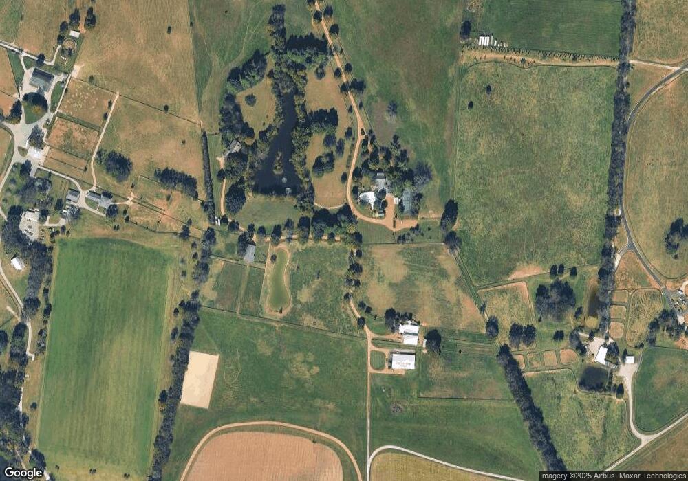
1409 Moran Rd Unit 1421 Franklin, TN 37069
Estimated Value: $2,058,000 - $12,739,144
Studio
9
Baths
8,050
Sq Ft
$728/Sq Ft
Est. Value
About This Home
This home is located at 1409 Moran Rd Unit 1421, Franklin, TN 37069 and is currently estimated at $5,860,048, approximately $727 per square foot. 1409 Moran Rd Unit 1421 is a home located in Williamson County with nearby schools including Grassland Elementary School, Grassland Middle School, and Franklin High School.
Ownership History
Date
Name
Owned For
Owner Type
Purchase Details
Closed on
Oct 25, 2022
Sold by
Andrews William F
Bought by
Welch Jackson M
Current Estimated Value
Purchase Details
Closed on
May 22, 2002
Sold by
Chapman Gary
Bought by
Andrews William F
Home Financials for this Owner
Home Financials are based on the most recent Mortgage that was taken out on this home.
Original Mortgage
$400,000
Interest Rate
6.12%
Create a Home Valuation Report for This Property
The Home Valuation Report is an in-depth analysis detailing your home's value as well as a comparison with similar homes in the area
Purchase History
| Date | Buyer | Sale Price | Title Company |
|---|---|---|---|
| Welch Jackson M | -- | Heritage Title | |
| Andrews William F | $3,500,000 | First Title & Escrow Co Inc |
Source: Public Records
Mortgage History
| Date | Status | Borrower | Loan Amount |
|---|---|---|---|
| Previous Owner | Andrews William F | $400,000 |
Source: Public Records
Tax History
| Year | Tax Paid | Tax Assessment Tax Assessment Total Assessment is a certain percentage of the fair market value that is determined by local assessors to be the total taxable value of land and additions on the property. | Land | Improvement |
|---|---|---|---|---|
| 2025 | -- | $603,650 | $174,050 | $429,600 |
| 2024 | -- | $458,325 | $99,550 | $358,775 |
| 2023 | $8,617 | $458,325 | $99,550 | $358,775 |
| 2022 | $8,617 | $458,325 | $99,550 | $358,775 |
| 2021 | $8,617 | $458,325 | $99,550 | $358,775 |
| 2020 | $9,158 | $412,500 | $69,775 | $342,725 |
| 2019 | $9,158 | $412,500 | $69,775 | $342,725 |
| 2018 | $8,869 | $412,500 | $69,775 | $342,725 |
| 2017 | $8,869 | $412,500 | $69,775 | $342,725 |
| 2016 | $8,869 | $412,500 | $69,775 | $342,725 |
Source: Public Records
Map
Nearby Homes
- 2410 Hidden River Ln
- 2496 Old Natchez Trace
- 2006 Boxwood Dr
- 1015 Boxwood Dr
- 1009 Boxwood Dr
- 1008 Boxwood Dr
- 116 Gardengate Dr
- 206 Gardenridge Dr
- 149 Boxwood Dr Unit 149
- 2418 Mcintyre Ct
- 2109 Key Dr
- 298 Gillette Dr
- 1119 Harpeth Ridge Rd
- 1462 Sneed Rd W
- 1224 Waterstone Blvd
- 244 Gillette Dr
- 1065 Stockett Dr
- 1019 Stockett Dr
- 405 Wexford Ct
- 1059 Stockett Dr
Your Personal Tour Guide
Ask me questions while you tour the home.