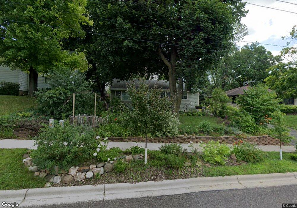
1409 West Ave Red Wing, MN 55066
Estimated Value: $204,773 - $218,000
2
Beds
1
Bath
842
Sq Ft
$250/Sq Ft
Est. Value
About This Home
This home is located at 1409 West Ave, Red Wing, MN 55066 and is currently estimated at $210,443, approximately $249 per square foot. 1409 West Ave is a home located in Goodhue County with nearby schools including Sunnyside Elementary School, Burnside Elementary School, and Twin Bluff Middle School.
Ownership History
Date
Name
Owned For
Owner Type
Purchase Details
Closed on
Jul 9, 2013
Sold by
Goodhue County Habitat For Humanity
Bought by
Calhoun Thomas Philip and Allen Calhoun Jane Anita
Current Estimated Value
Purchase Details
Closed on
Jul 18, 2011
Sold by
Cedar Dolores A
Bought by
Goodhue County Habitat For Humanity
Create a Home Valuation Report for This Property
The Home Valuation Report is an in-depth analysis detailing your home's value as well as a comparison with similar homes in the area
Home Values in the Area
Average Home Value in this Area
Purchase History
| Date | Buyer | Sale Price | Title Company |
|---|---|---|---|
| Calhoun Thomas Philip | $115,000 | -- | |
| Goodhue County Habitat For Humanity | $58,100 | -- |
Source: Public Records
Mortgage History
| Date | Status | Borrower | Loan Amount |
|---|---|---|---|
| Closed | Calhoun Thomas Philip | -- |
Source: Public Records
Tax History Compared to Growth
Tax History
| Year | Tax Paid | Tax Assessment Tax Assessment Total Assessment is a certain percentage of the fair market value that is determined by local assessors to be the total taxable value of land and additions on the property. | Land | Improvement |
|---|---|---|---|---|
| 2025 | $3,894 | $170,400 | $48,700 | $121,700 |
| 2024 | $3,894 | $168,100 | $48,700 | $119,400 |
| 2023 | $985 | $160,400 | $48,700 | $111,700 |
| 2022 | $1,532 | $143,700 | $32,900 | $110,800 |
| 2021 | $1,424 | $124,500 | $32,900 | $91,600 |
| 2020 | $1,398 | $118,600 | $32,900 | $85,700 |
| 2019 | $1,398 | $110,700 | $32,900 | $77,800 |
| 2018 | $1,090 | $111,800 | $31,600 | $80,200 |
| 2017 | $1,058 | $99,000 | $31,600 | $67,400 |
| 2016 | $978 | $97,800 | $31,600 | $66,200 |
| 2015 | $934 | $95,600 | $31,600 | $64,000 |
| 2014 | -- | $94,300 | $31,600 | $62,700 |
Source: Public Records
Map
Nearby Homes
- 1606 Reichert Ave
- 642 Grace St
- 1164 Hawthorn St
- 1028 Kingman Ave
- 1012 West Ave
- 1029 Putnam Ave
- 1062 Putnam Ave
- 1825 Twin Bluff Rd
- 1224 Tee Up Ln
- 1838 Spruce Dr
- 1846 Twin Bluff Rd
- 716 Central Ave
- 534 9th St
- 1328 Norwood St
- 1903 Lenore Ln
- 1927 Twin Bluff Rd
- 1632 Spruce Dr
- 511 W 7th St
- 1109 East Ave
- 1218 East Ave
- 1403 West Ave
- 1415 West Ave
- 1410 Roosevelt Ave
- 1416 Roosevelt Ave
- 905 Hawthorne St
- 1422 Roosevelt Ave
- 920 Maple St
- 912 Maple St
- 1004 Watson St
- 920 Hawthorne St
- 916 Hawthorne St
- 920 Hawthorn St
- 910 Hawthorne St
- 1004 Maple St
- 904 Hawthorne St
- 1012 Watson St
- 827 Hawthorne St
- 1004 Hawthorne St
- 1417 Roosevelt Ave
- 1502 Roosevelt Ave