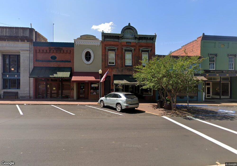
141 W Peace St Canton, MS 39046
Estimated Value: $354,822
--
Bed
2
Baths
4,000
Sq Ft
$89/Sq Ft
Est. Value
About This Home
This home is located at 141 W Peace St, Canton, MS 39046 and is currently estimated at $354,822, approximately $88 per square foot. 141 W Peace St is a home located in Madison County with nearby schools including Canton High School and Canton Academy.
Ownership History
Date
Name
Owned For
Owner Type
Purchase Details
Closed on
Jun 26, 2018
Sold by
J D Johnson Props
Bought by
Martin Props
Current Estimated Value
Home Financials for this Owner
Home Financials are based on the most recent Mortgage that was taken out on this home.
Original Mortgage
$260,000
Outstanding Balance
$210,768
Interest Rate
4.5%
Mortgage Type
Unknown
Estimated Equity
$144,054
Purchase Details
Closed on
Nov 25, 2015
Sold by
Miller Ronald E and Miller Lisanne M
Bought by
J D Johnson Properties Llc
Purchase Details
Closed on
Mar 28, 2007
Sold by
Southern Training & Educational Centers
Bought by
Miller Ronald E and Miller Lisanne M
Create a Home Valuation Report for This Property
The Home Valuation Report is an in-depth analysis detailing your home's value as well as a comparison with similar homes in the area
Home Values in the Area
Average Home Value in this Area
Purchase History
| Date | Buyer | Sale Price | Title Company |
|---|---|---|---|
| Martin Props | -- | -- | |
| J D Johnson Properties Llc | -- | None Available | |
| Miller Ronald E | -- | None Available |
Source: Public Records
Mortgage History
| Date | Status | Borrower | Loan Amount |
|---|---|---|---|
| Open | Martin Props | $260,000 |
Source: Public Records
Tax History Compared to Growth
Tax History
| Year | Tax Paid | Tax Assessment Tax Assessment Total Assessment is a certain percentage of the fair market value that is determined by local assessors to be the total taxable value of land and additions on the property. | Land | Improvement |
|---|---|---|---|---|
| 2024 | $2,259 | $14,495 | $0 | $0 |
| 2023 | $2,132 | $14,495 | $0 | $0 |
| 2022 | $2,160 | $14,495 | $0 | $0 |
| 2021 | $1,960 | $13,963 | $0 | $0 |
| 2020 | $2,070 | $13,963 | $0 | $0 |
| 2019 | $2,070 | $13,963 | $0 | $0 |
| 2018 | $3,116 | $21,020 | $0 | $0 |
| 2017 | $3,079 | $20,767 | $0 | $0 |
| 2016 | $3,045 | $20,767 | $0 | $0 |
| 2015 | $3,045 | $20,767 | $0 | $0 |
| 2014 | $2,915 | $20,767 | $0 | $0 |
Source: Public Records
Map
Nearby Homes
- 0 Mississippi 16
- 138 E Fulton St
- 108 E North St
- 140 E Semmes St
- 203 Vision Cove
- Lot 23 Neptune Shore
- 228 E Dinkins St
- 341 Miller St
- 494 Washington St
- 338 S Monroe St
- 0 N Railroad St
- 125 Willow Way
- 133 Northgate Dr
- 3573 N Liberty St
- 2204 Mississippi 16 Unit B
- 700 Wayne Dr
- Whisper Ridge Ln Unit LotWP001
- 0 Covington Dr
- 1005 Hillcrest St
- 433 Aurora Cir
- 145 W Peace St
- 139 W Peace St
- 159 W Peace St
- 139 Peace St
- 165 W Peace St
- 103 Peace St
- 175 W Peace St
- 7 Highway 22 Hwy
- 5 Mississippi 22
- 4 Mississippi 22
- 3 Mississippi 22
- 01 Hwy 16 W
- 00 Hwy 16 W
- 0 Hwy 51 Hwy N Unit 192465
- 0 Hwy 51 Hwy N Unit 220623
- 0 Hwy 51 Hwy N Unit 219145
- 0 Hwy 51 Hwy N Unit 236025
- 0 Highway 51 Unit 254951
- 0 Hwy 51 Hwy N Unit 255359
- 0 Highway 51 Unit 258751