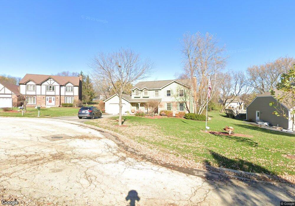
1410 Brandywine Cir Algonquin, IL 60102
Estimated Value: $410,832 - $490,000
4
Beds
--
Bath
2,352
Sq Ft
$194/Sq Ft
Est. Value
About This Home
This home is located at 1410 Brandywine Cir, Algonquin, IL 60102 and is currently estimated at $456,958, approximately $194 per square foot. 1410 Brandywine Cir is a home located in Kane County with nearby schools including Westfield Community School, Kenneth E Neubert Elementary School, and Harry D Jacobs High School.
Ownership History
Date
Name
Owned For
Owner Type
Purchase Details
Closed on
Jul 5, 2005
Sold by
Knighten Carl W and Knighten Debra C
Bought by
Wistehuff Ronald W and Wistehuff Pauline A
Current Estimated Value
Home Financials for this Owner
Home Financials are based on the most recent Mortgage that was taken out on this home.
Original Mortgage
$304,200
Outstanding Balance
$159,718
Interest Rate
5.75%
Mortgage Type
Fannie Mae Freddie Mac
Estimated Equity
$297,240
Create a Home Valuation Report for This Property
The Home Valuation Report is an in-depth analysis detailing your home's value as well as a comparison with similar homes in the area
Purchase History
| Date | Buyer | Sale Price | Title Company |
|---|---|---|---|
| Wistehuff Ronald W | $338,000 | Chicago Title Insurance Comp |
Source: Public Records
Mortgage History
| Date | Status | Borrower | Loan Amount |
|---|---|---|---|
| Open | Wistehuff Ronald W | $304,200 |
Source: Public Records
Tax History
| Year | Tax Paid | Tax Assessment Tax Assessment Total Assessment is a certain percentage of the fair market value that is determined by local assessors to be the total taxable value of land and additions on the property. | Land | Improvement |
|---|---|---|---|---|
| 2024 | $9,575 | $125,938 | $25,228 | $100,710 |
| 2023 | $9,222 | $113,314 | $22,699 | $90,615 |
| 2022 | $8,408 | $106,613 | $22,699 | $83,914 |
| 2021 | $8,163 | $100,663 | $21,432 | $79,231 |
| 2020 | $8,005 | $98,400 | $20,950 | $77,450 |
| 2019 | $8,329 | $99,805 | $19,888 | $79,917 |
| 2018 | $8,212 | $95,064 | $26,182 | $68,882 |
| 2017 | $7,884 | $88,928 | $24,492 | $64,436 |
| 2016 | $8,088 | $86,104 | $23,714 | $62,390 |
| 2015 | -- | $80,682 | $22,221 | $58,461 |
| 2014 | -- | $73,272 | $21,607 | $51,665 |
| 2013 | -- | $75,514 | $22,268 | $53,246 |
Source: Public Records
Map
Nearby Homes
- SWC Talaga and Algonquin Rd
- 1850 White Oak Dr
- 1002 Interloch Ct Unit 152
- 1530 Westbourne Pkwy
- 1540 Westbourne Pkwy
- 1621 Glengarry Ct Unit 131
- 1460 Lancaster Ln
- 18 Peach Tree Ct Unit 4154
- 1900 Waverly Ln
- 2054 Peach Tree Ln Unit 4171
- 2069 Peach Tree Ln Unit 4116
- 2051 Carlisle St
- 2224 Barrett Dr
- 1030 Glenmont St
- 2161 Burnham Ct
- 1200 Hillside View
- 301 Cold Spring St
- 1000 Glenmont St
- Lot #3-5 Hayes Rd
- 2010 Cosman Way
- 1400 Brandywine Cir
- 1420 Brandywine Cir
- 1415 Gaslight Dr
- 1405 Gaslight Dr
- 1330 Brandywine Cir
- 1430 Brandywine Cir
- 1425 Gaslight Dr
- 1345 Gaslight Dr
- 1415 Brandywine Cir
- 1435 Brandywine Cir
- 1405 Brandywine Cir
- 1320 Brandywine Cir
- 1435 Gaslight Dr
- 1425 Brandywine Cir
- 1335 Gaslight Dr
- 1325 Brandywine Cir
- 1445 Gaslight Dr
- 1460 Spring Hill Dr
- 1450 Spring Hill Dr
- 1310 Brandywine Cir
Your Personal Tour Guide
Ask me questions while you tour the home.