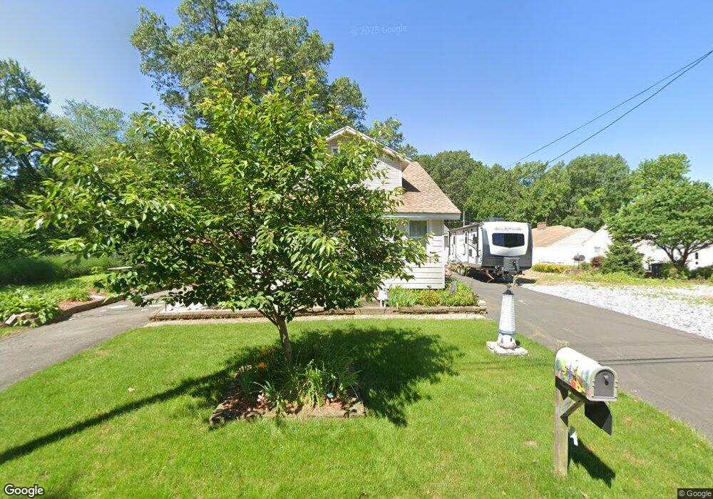
142 Merrill Rd Springfield, MA 01119
Boston Road NeighborhoodEstimated Value: $267,000 - $287,000
3
Beds
1
Bath
1,040
Sq Ft
$264/Sq Ft
Est. Value
About This Home
This home is located at 142 Merrill Rd, Springfield, MA 01119 and is currently estimated at $274,363, approximately $263 per square foot. 142 Merrill Rd is a home located in Hampden County with nearby schools including Warner, M Marcus Kiley Middle, and Roger L. Putnam Vocational Technical Academy.
Ownership History
Date
Name
Owned For
Owner Type
Purchase Details
Closed on
Aug 7, 1980
Bought by
Nickelson David A and Nickelson Verna M
Current Estimated Value
Create a Home Valuation Report for This Property
The Home Valuation Report is an in-depth analysis detailing your home's value as well as a comparison with similar homes in the area
Home Values in the Area
Average Home Value in this Area
Purchase History
| Date | Buyer | Sale Price | Title Company |
|---|---|---|---|
| Nickelson David A | $15,900 | -- |
Source: Public Records
Mortgage History
| Date | Status | Borrower | Loan Amount |
|---|---|---|---|
| Open | Nickelson David A | $84,000 | |
| Closed | Nickelson David A | $60,000 | |
| Closed | Nickelson David A | $22,100 | |
| Closed | Nickelson David A | $55,000 |
Source: Public Records
Tax History
| Year | Tax Paid | Tax Assessment Tax Assessment Total Assessment is a certain percentage of the fair market value that is determined by local assessors to be the total taxable value of land and additions on the property. | Land | Improvement |
|---|---|---|---|---|
| 2025 | $3,755 | $239,500 | $43,000 | $196,500 |
| 2024 | $3,736 | $232,600 | $40,200 | $192,400 |
| 2023 | $3,656 | $214,400 | $38,300 | $176,100 |
| 2022 | $2,960 | $157,300 | $38,300 | $119,000 |
| 2021 | $2,773 | $146,700 | $34,800 | $111,900 |
| 2020 | $2,906 | $148,800 | $34,800 | $114,000 |
| 2019 | $2,856 | $145,100 | $34,800 | $110,300 |
| 2018 | $2,734 | $138,900 | $34,800 | $104,100 |
| 2017 | $2,646 | $134,600 | $34,800 | $99,800 |
| 2016 | $2,393 | $121,700 | $34,800 | $86,900 |
| 2015 | $2,309 | $117,400 | $34,800 | $82,600 |
Source: Public Records
Map
Nearby Homes
- 132 Merrill Rd
- 153 Hamilton St
- 139 Merrill Rd
- 131 Hamilton St
- 147 Jamaica St
- 120 Merrill Rd
- 121 Merrill Rd
- 157 Jamaica St
- 150 Jamaica St
- 148 Jamaica St
- 163 Jamaica St
- 111 Merrill Rd
- 158 Jamaica St
- 119 Wrentham Rd
- 177 Jamaica St
- 103 Jamaica St
- 143 Wrentham Rd
- 172 Wrentham Rd
- 147 Wrentham Rd
- 108 Wrentham Rd
Your Personal Tour Guide
Ask me questions while you tour the home.