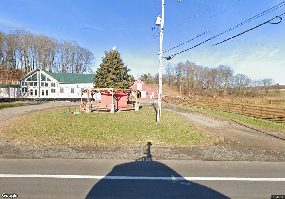
1424 State Route 41a Cortland, NY 13045
Estimated Value: $282,000 - $429,087
2
Beds
1
Bath
3,815
Sq Ft
$98/Sq Ft
Est. Value
About This Home
This home is located at 1424 State Route 41a, Cortland, NY 13045 and is currently estimated at $375,022, approximately $98 per square foot. 1424 State Route 41a is a home located in Cayuga County with nearby schools including Homer Senior High School.
Ownership History
Date
Name
Owned For
Owner Type
Purchase Details
Closed on
Oct 3, 2008
Sold by
Elkovitch Referee David
Bought by
Horner John
Current Estimated Value
Home Financials for this Owner
Home Financials are based on the most recent Mortgage that was taken out on this home.
Original Mortgage
$78,000
Outstanding Balance
$51,819
Interest Rate
6.41%
Mortgage Type
Purchase Money Mortgage
Estimated Equity
$323,203
Purchase Details
Closed on
Dec 7, 1999
Sold by
Howard Lansdowne and Howard Virginia
Bought by
Lansdowns Jay
Purchase Details
Closed on
Sep 5, 1995
Sold by
Lansdowne Howard
Bought by
Lansdowne Howard-Virginia
Purchase Details
Closed on
Jul 27, 1995
Sold by
Lansdowne Howard E
Bought by
Lansdowne Howard-Virginia
Create a Home Valuation Report for This Property
The Home Valuation Report is an in-depth analysis detailing your home's value as well as a comparison with similar homes in the area
Home Values in the Area
Average Home Value in this Area
Purchase History
| Date | Buyer | Sale Price | Title Company |
|---|---|---|---|
| Horner John | $73,914 | -- | |
| Lansdowns Jay | $65,000 | James Henry | |
| Lansdowne Howard-Virginia | -- | -- | |
| Lansdowne Howard-Virginia | $1,200 | -- |
Source: Public Records
Mortgage History
| Date | Status | Borrower | Loan Amount |
|---|---|---|---|
| Open | Horner John | $78,000 |
Source: Public Records
Tax History Compared to Growth
Tax History
| Year | Tax Paid | Tax Assessment Tax Assessment Total Assessment is a certain percentage of the fair market value that is determined by local assessors to be the total taxable value of land and additions on the property. | Land | Improvement |
|---|---|---|---|---|
| 2024 | $9,927 | $383,500 | $41,600 | $341,900 |
| 2023 | $9,592 | $383,500 | $41,600 | $341,900 |
| 2022 | $2,777 | $219,100 | $25,200 | $193,900 |
| 2021 | $2,762 | $160,000 | $15,000 | $145,000 |
| 2020 | $757 | $160,000 | $15,000 | $145,000 |
| 2019 | $2,762 | $160,000 | $15,000 | $145,000 |
| 2018 | $3,368 | $160,000 | $15,000 | $145,000 |
| 2017 | $3,368 | $160,000 | $15,000 | $145,000 |
| 2016 | $3,368 | $160,000 | $15,000 | $145,000 |
| 2015 | -- | $160,000 | $15,000 | $145,000 |
| 2014 | -- | $160,000 | $15,000 | $145,000 |
Source: Public Records
Map
Nearby Homes
- 6566 Branch Rd
- 1270 Lake Como Rd
- 14184 State Route 90
- 0 Lick St Unit S1644873
- 2070 Watkins Rd
- 1467 Lick St
- 1596 Lick St
- 250 State Route 90
- 464 Foster Moore Rd
- 2007 Sand Hill Rd
- 6207 Sunnyside Dr
- 6449 W Scott Rd
- 564 Southview Dr
- 5625 State Route 41
- 6387 New York 41
- 2332 Bear Swamp Rd
- 298 Lick St
- 5984 Dresserville Rd
- 6977 Glen Haven Rd
- 5174 Brake Hill Rd
- 1425 State Route 41a
- 1378 State Route 41a
- 0 Fire Lane J
- 1266 Poverty Ln
- 1361 State Route 41a
- 1435 Fire Lane J
- 1459 Fire Lane J
- 1421 Fire Lane J
- 1437 Fire Lane J
- 1439 Fire Lane J
- 1419 Fire Lane J
- 1500 State Route 41a
- 1263 E Lake Rd
- 1265 E Lake Rd Unit 905
- 1265 E Lake Rd
- 1264 E Lake Rd
- 1357 Poverty Ln
- 1271 E Lake Rd
- 1358 Poverty Ln
- 1273 E Lake Rd