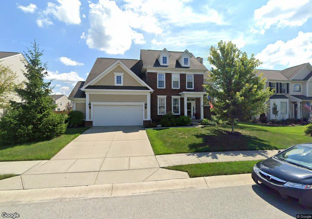
1440 Hession Dr Brownsburg, IN 46112
Estimated Value: $430,000 - $494,000
4
Beds
4
Baths
2,656
Sq Ft
$172/Sq Ft
Est. Value
About This Home
This home is located at 1440 Hession Dr, Brownsburg, IN 46112 and is currently estimated at $456,603, approximately $171 per square foot. 1440 Hession Dr is a home located in Hendricks County with nearby schools including Brown Elementary School, Brownsburg West Middle School, and Brownsburg High School.
Ownership History
Date
Name
Owned For
Owner Type
Purchase Details
Closed on
Jun 30, 2009
Sold by
The Estridge Group Inc
Bought by
Vaught Seth and Vaught Rachael
Current Estimated Value
Home Financials for this Owner
Home Financials are based on the most recent Mortgage that was taken out on this home.
Original Mortgage
$227,900
Outstanding Balance
$145,920
Interest Rate
4.94%
Mortgage Type
New Conventional
Estimated Equity
$310,683
Create a Home Valuation Report for This Property
The Home Valuation Report is an in-depth analysis detailing your home's value as well as a comparison with similar homes in the area
Home Values in the Area
Average Home Value in this Area
Purchase History
| Date | Buyer | Sale Price | Title Company |
|---|---|---|---|
| Vaught Seth | -- | None Available |
Source: Public Records
Mortgage History
| Date | Status | Borrower | Loan Amount |
|---|---|---|---|
| Open | Vaught Seth | $227,900 |
Source: Public Records
Tax History Compared to Growth
Tax History
| Year | Tax Paid | Tax Assessment Tax Assessment Total Assessment is a certain percentage of the fair market value that is determined by local assessors to be the total taxable value of land and additions on the property. | Land | Improvement |
|---|---|---|---|---|
| 2024 | $4,432 | $443,200 | $60,500 | $382,700 |
| 2023 | $4,070 | $407,000 | $55,000 | $352,000 |
| 2022 | $3,703 | $370,300 | $55,000 | $315,300 |
| 2021 | $3,368 | $336,800 | $55,000 | $281,800 |
| 2020 | $2,963 | $296,300 | $55,000 | $241,300 |
| 2019 | $2,858 | $285,800 | $52,400 | $233,400 |
| 2018 | $2,820 | $282,000 | $52,400 | $229,600 |
| 2017 | $2,691 | $269,100 | $50,400 | $218,700 |
| 2016 | $2,606 | $260,600 | $50,400 | $210,200 |
| 2014 | $2,438 | $243,800 | $47,500 | $196,300 |
Source: Public Records
Map
Nearby Homes
- 805 Wild Lake Cir
- 821 Harvest Lake Dr
- 1303 Gable Lake Dr
- 961 Pine Ridge Way
- 1113 River Ridge Dr
- 6863 Black Cherry Terrace
- 6905 Black Willow Ln
- 6929 Hornbeam Cir
- 1280 Summer Ridge Ln
- 1284 Summer Ridge Ln
- 1327 Blue Ridge Ln
- 7158 Sugar Maple Ln
- 9873 Blue Ridge Way
- 7166 Rhapsody Way
- 7089 Symphony Dr
- 543 N Odell St
- 725 Hawthorne Ln
- 609 Roberta Ct
- 6303 Lewis St
- 5834 Skyward Ln
- 1436 Hession Dr
- 1444 Hession Dr
- 762 Settlers Walk
- 1432 Hession Dr
- 1447 Hession Dr
- 1443 Hession Dr
- 772 Settlers Walk
- 1451 Hession Dr
- 1439 Hession Dr
- 1452 Hession Dr
- 1428 Hession Dr
- 782 Settlers Walk
- 1455 Hession Dr
- 1470 Berry Lake Way
- 1456 Hession Dr
- 1435 Hession Dr
- 1424 Hession Dr
- 742 Settlers Walk
- 721 Settlers Walk
- 1460 Hession Dr