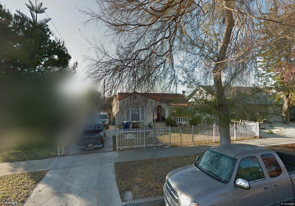
1447 Armadale Ave Los Angeles, CA 90042
Eagle Rock NeighborhoodEstimated Value: $1,445,000 - $1,547,000
5
Beds
3
Baths
2,267
Sq Ft
$651/Sq Ft
Est. Value
About This Home
This home is located at 1447 Armadale Ave, Los Angeles, CA 90042 and is currently estimated at $1,475,744, approximately $650 per square foot. 1447 Armadale Ave is a home located in Los Angeles County with nearby schools including Toland Way Elementary School, Eagle Rock High School, and Irving STEAM Magnet School.
Ownership History
Date
Name
Owned For
Owner Type
Purchase Details
Closed on
Nov 16, 2018
Sold by
Mcgcawas Frnandito C and Mcgcawas Amor H
Bought by
Mcgcawas Fernandito C and Mcgcawas Amor H
Current Estimated Value
Purchase Details
Closed on
Jan 6, 1997
Sold by
Akers Robert V
Bought by
Macgawas Fernandito C and Magcawas Amor H
Home Financials for this Owner
Home Financials are based on the most recent Mortgage that was taken out on this home.
Original Mortgage
$158,400
Outstanding Balance
$16,860
Interest Rate
7.53%
Estimated Equity
$1,458,884
Create a Home Valuation Report for This Property
The Home Valuation Report is an in-depth analysis detailing your home's value as well as a comparison with similar homes in the area
Home Values in the Area
Average Home Value in this Area
Purchase History
| Date | Buyer | Sale Price | Title Company |
|---|---|---|---|
| Mcgcawas Fernandito C | -- | None Available | |
| Macgawas Fernandito C | $166,745 | Provident Title |
Source: Public Records
Mortgage History
| Date | Status | Borrower | Loan Amount |
|---|---|---|---|
| Open | Macgawas Fernandito C | $158,400 |
Source: Public Records
Tax History Compared to Growth
Tax History
| Year | Tax Paid | Tax Assessment Tax Assessment Total Assessment is a certain percentage of the fair market value that is determined by local assessors to be the total taxable value of land and additions on the property. | Land | Improvement |
|---|---|---|---|---|
| 2025 | $4,907 | $385,266 | $146,245 | $239,021 |
| 2024 | $4,907 | $377,713 | $143,378 | $234,335 |
| 2023 | $4,818 | $370,308 | $140,567 | $229,741 |
| 2022 | $4,601 | $363,048 | $137,811 | $225,237 |
| 2021 | $4,535 | $355,930 | $135,109 | $220,821 |
| 2020 | $4,576 | $352,281 | $133,724 | $218,557 |
| 2019 | $4,404 | $345,374 | $131,102 | $214,272 |
| 2018 | $4,277 | $338,603 | $128,532 | $210,071 |
| 2016 | $4,069 | $325,456 | $123,542 | $201,914 |
| 2015 | $4,011 | $320,569 | $121,687 | $198,882 |
| 2014 | $4,032 | $314,291 | $119,304 | $194,987 |
Source: Public Records
Map
Nearby Homes
- 4666 York Blvd
- 1607 Campus Rd
- 1336 Armadale Ave
- 4707 Toland Way
- 4854 Buchanan St
- 4654 Toland Way
- 4925 Buchanan St
- 4780 Hub St
- 1113 N Avenue 50
- 1747 N Avenue 46
- 4824 Toland Way
- 4500 Mont Eagle Place
- 1048 Dexter St
- 1037 N Avenue 50
- 5117 Stratford Rd
- 2161 Ridgeview Ave
- 5125 Buchanan St
- 2035 Las Colinas Ave
- 4312 Division St
- 2402 Langdale Ave
- 1453 Armadale Ave
- 1443 Armadale Ave
- 1451 Armadale Ave
- 1463 Armadale Ave
- 1437 Armadale Ave
- 1465 Armadale Ave
- 1433 Armadale Ave
- 1550 Munson Ave
- 1542 Munson Ave
- 1554 Munson Ave
- 1469 Armadale Ave
- 1429 Armadale Ave
- 1538 Munson Ave
- 1558 Munson Ave
- 1446 Armadale Ave
- 1454 Armadale Ave
- 1442 Armadale Ave
- 1438 Armadale Ave
- 1530 Munson Ave
- 1562 Munson Ave