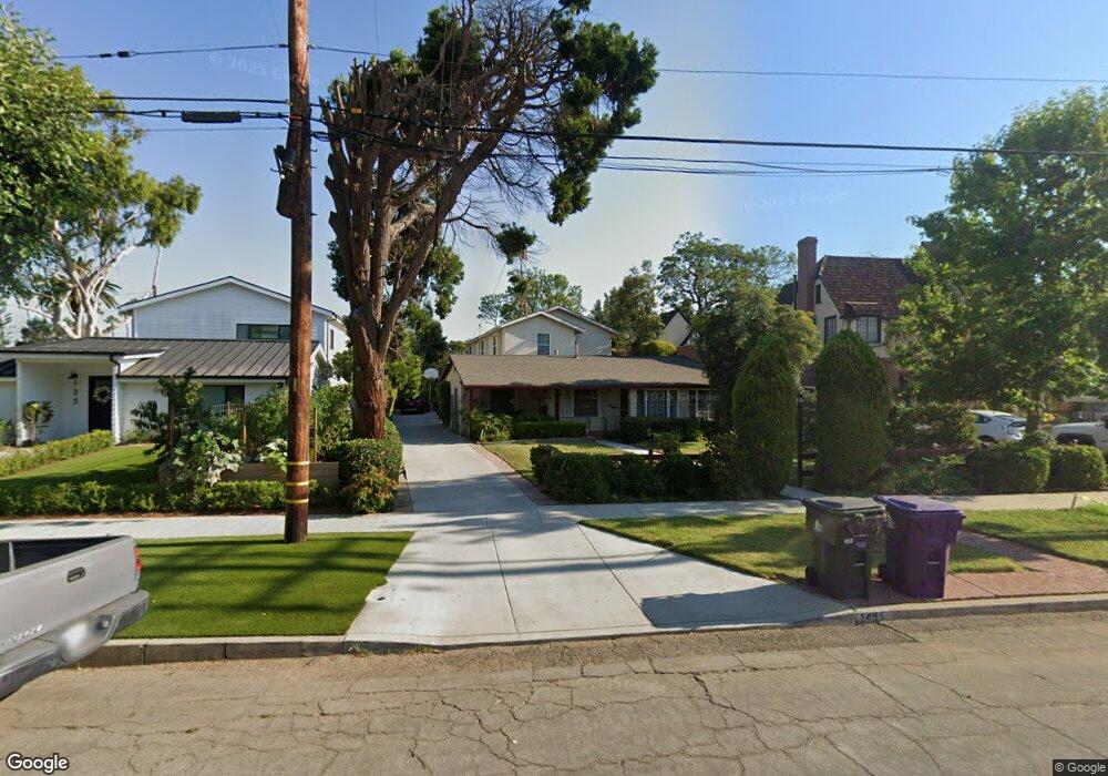
145 E Roosevelt Rd Long Beach, CA 90807
Los Cerritos NeighborhoodEstimated Value: $1,409,000 - $1,908,000
About This Home
This home is located at 145 E Roosevelt Rd, Long Beach, CA 90807 and is currently estimated at $1,669,068, approximately $650 per square foot. 145 E Roosevelt Rd is a home located in Los Angeles County with nearby schools including Los Cerritos Elementary School, Hughes Middle School, and Long Beach Polytechnic High School.
Ownership History
We collect this data history from publicly available records. To have your information removed, we recommend requesting removal directly through your county’s website.
Purchase Details
Purchase Details
Purchase Details
Home Values in the Area
Average Home Value in this Area
Purchase History
We collect this data history from publicly available records. To have your information removed, we recommend requesting removal directly through your county’s website.
| Date | Buyer | Sale Price | Title Company |
|---|---|---|---|
| -- | None Available | ||
| -- | None Available | ||
| -- | -- |
Tax History
We collect this data history from publicly available records. To have your information removed, we recommend requesting removal directly through your county’s website.
| Year | Tax Paid | Tax Assessment Tax Assessment Total Assessment is a certain percentage of the fair market value that is determined by local assessors to be the total taxable value of land and additions on the property. | Land | Improvement |
|---|---|---|---|---|
| 2025 | $5,069 | $358,972 | $128,403 | $230,569 |
| 2024 | $4,813 | $351,935 | $125,886 | $226,049 |
| 2023 | $4,732 | $345,035 | $123,418 | $221,617 |
| 2022 | $4,454 | $338,271 | $120,999 | $217,272 |
| 2021 | $4,353 | $331,639 | $118,627 | $213,012 |
| 2019 | $4,289 | $321,804 | $115,109 | $206,695 |
| 2018 | $4,111 | $315,495 | $112,852 | $202,643 |
| 2016 | $3,768 | $303,246 | $108,471 | $194,775 |
| 2015 | $3,621 | $298,692 | $106,842 | $191,850 |
| 2014 | $3,602 | $292,842 | $104,750 | $188,092 |
Map
- 42 La Linda Dr
- 4015 N Virginia Rd Unit 6
- 4057 Pine Ave
- 3939 Pacific Ave
- 3839 Cedar Ave
- 4217 Cedar Ave
- 354 E Carson St
- 3706 Pine Ave
- 3805 Linden Ave
- 3642 Locust Ave
- 3667 Elm Ave
- 106 E 36th St
- 4000 Marion Way
- 150 W 36th St
- 651 Edith Way
- 644 Avery Place
- 730 E Roosevelt Rd
- 4322 Elm Ave
- 630 W Devon Place
- 4407 Linden Ave
- 165 E Roosevelt Rd
- 135 E Roosevelt Rd Unit A
- 135 E Roosevelt Rd
- 3939 Locust Ave
- 167 E Roosevelt Rd
- 3929 Locust Ave
- 3921 Locust Ave
- 3945 Locust Ave
- 3916 Pine Ave
- 101 E Roosevelt Rd
- 3924 Pine Ave
- 3938 Pine Ave
- 3859 N Weston Place
- 175 E Roosevelt Rd
- 3949 Locust Ave
- 3944 Pine Ave
- 3955 Locust Ave
- 3853 N Weston Place
- 3856 Pine Ave
- 3860 N Weston Place
Ask me questions while you tour the home.