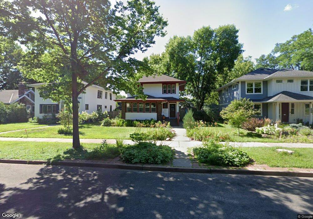
1452 1452 Ashland Ave St. Paul, MN 55104
Union Park NeighborhoodEstimated Value: $486,000 - $609,000
4
Beds
2
Baths
1,002
Sq Ft
$536/Sq Ft
Est. Value
About This Home
This home is located at 1452 1452 Ashland Ave, St. Paul, MN 55104 and is currently estimated at $537,532, approximately $536 per square foot. 1452 1452 Ashland Ave is a home located in Ramsey County with nearby schools including Maxfield Magnet Elementary School, Hidden River Middle School, and Central Senior High School.
Ownership History
Date
Name
Owned For
Owner Type
Purchase Details
Closed on
Jun 14, 2017
Sold by
Gerber David and Gerber Carole
Bought by
Jager Gary and Jager Andrea
Current Estimated Value
Purchase Details
Closed on
Oct 5, 2016
Home Financials for this Owner
Home Financials are based on the most recent Mortgage that was taken out on this home.
Original Mortgage
$309,000
Interest Rate
3.5%
Mortgage Type
Unknown
Create a Home Valuation Report for This Property
The Home Valuation Report is an in-depth analysis detailing your home's value as well as a comparison with similar homes in the area
Home Values in the Area
Average Home Value in this Area
Purchase History
| Date | Buyer | Sale Price | Title Company |
|---|---|---|---|
| Jager Gary | $434,787 | None Available | |
| -- | $242,000 | -- | |
| 5405 Investments Inc | $249,333 | Edina Realty Title Inc |
Source: Public Records
Mortgage History
| Date | Status | Borrower | Loan Amount |
|---|---|---|---|
| Previous Owner | 5405 Investments Inc | $309,000 | |
| Previous Owner | -- | $240,600 |
Source: Public Records
Tax History Compared to Growth
Tax History
| Year | Tax Paid | Tax Assessment Tax Assessment Total Assessment is a certain percentage of the fair market value that is determined by local assessors to be the total taxable value of land and additions on the property. | Land | Improvement |
|---|---|---|---|---|
| 2025 | $7,286 | $491,100 | $144,000 | $347,100 |
| 2023 | $7,286 | $472,800 | $144,000 | $328,800 |
| 2022 | $6,606 | $485,100 | $144,000 | $341,100 |
| 2021 | $6,574 | $408,500 | $144,000 | $264,500 |
| 2020 | $6,592 | $421,400 | $144,000 | $277,400 |
| 2019 | $6,610 | $393,800 | $144,000 | $249,800 |
| 2018 | $4,970 | $390,200 | $144,000 | $246,200 |
| 2017 | $5,084 | $308,000 | $144,000 | $164,000 |
| 2016 | $5,226 | $0 | $0 | $0 |
| 2015 | $5,126 | $299,500 | $144,000 | $155,500 |
| 2014 | $4,702 | $0 | $0 | $0 |
Source: Public Records
Map
Nearby Homes
- 1510 Laurel Ave
- 750 Summit Ave
- 1447 Hague Ave
- 1540 Ashland Ave Unit 12
- 184 Saratoga St N
- 1354 Grand Ave
- 1325 Dayton Ave
- 1253 Ashland Ave
- 1259 Hague Ave
- 12XX Marshall Ave
- 1670 Ashland Ave
- 1247 Selby Ave
- 266 Fry St
- 193 Griggs St N
- 1200 Portland Ave
- 1217 Grand Ave
- 1201 Hague Ave
- 1611 Carroll Ave
- 1671 Marshall Ave
- 1186 Marshall Ave
- 1452 Ashland Ave
- 1458 Ashland Ave
- 1458 1458 Ashland Ave
- 1446 Ashland Ave
- 1440 Ashland Ave
- 1436 Ashland Ave
- 1460 Ashland Ave
- 1451 Portland Ave
- 1455 Portland Ave
- 1447 1447 Portland Ave
- 1457 Portland Ave
- 1457 1457 Portland Ave
- 1443 Portland Ave
- 1443 1443 Portland Ave
- 1432 Ashland Ave
- 1466 Ashland Ave
- 1455 Ashland Ave
- 1451 Ashland Ave
- 1439 Portland Ave
- 1457 Ashland Ave