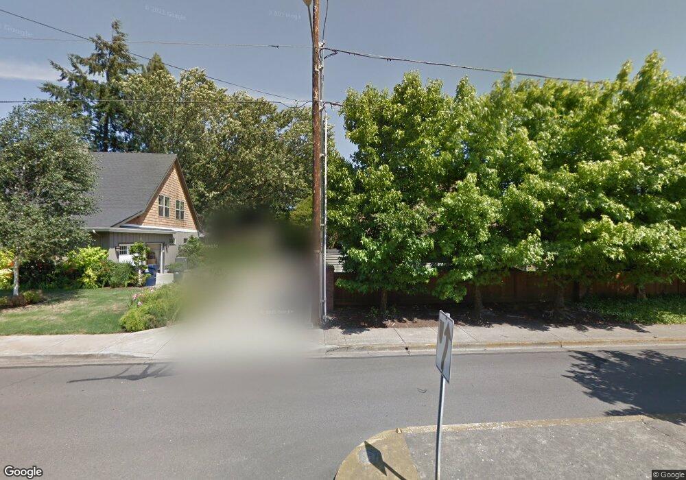
1453 Bogart Ln Eugene, OR 97401
Harlow NeighborhoodEstimated Value: $442,818 - $464,000
2
Beds
2
Baths
1,064
Sq Ft
$424/Sq Ft
Est. Value
About This Home
This home is located at 1453 Bogart Ln, Eugene, OR 97401 and is currently estimated at $450,955, approximately $423 per square foot. 1453 Bogart Ln is a home located in Lane County with nearby schools including Holt Elementary School, Monroe Middle School, and Sheldon High School.
Ownership History
Date
Name
Owned For
Owner Type
Purchase Details
Closed on
Jan 25, 2018
Sold by
Anderson Roman K
Bought by
Johnson Kelly A
Current Estimated Value
Home Financials for this Owner
Home Financials are based on the most recent Mortgage that was taken out on this home.
Original Mortgage
$191,200
Outstanding Balance
$160,932
Interest Rate
3.93%
Mortgage Type
New Conventional
Estimated Equity
$290,023
Purchase Details
Closed on
Jan 24, 2018
Sold by
Anderson Roman K
Bought by
Johnson Kelly A
Home Financials for this Owner
Home Financials are based on the most recent Mortgage that was taken out on this home.
Original Mortgage
$191,200
Outstanding Balance
$160,932
Interest Rate
3.93%
Mortgage Type
New Conventional
Estimated Equity
$290,023
Purchase Details
Closed on
Jul 31, 2006
Sold by
Hammer John P
Bought by
Bowman Julianne
Home Financials for this Owner
Home Financials are based on the most recent Mortgage that was taken out on this home.
Original Mortgage
$146,800
Interest Rate
7%
Mortgage Type
Stand Alone First
Create a Home Valuation Report for This Property
The Home Valuation Report is an in-depth analysis detailing your home's value as well as a comparison with similar homes in the area
Home Values in the Area
Average Home Value in this Area
Purchase History
| Date | Buyer | Sale Price | Title Company |
|---|---|---|---|
| Johnson Kelly A | $239,000 | Western Title | |
| Johnson Kelly A | $239,000 | Western Title & Escrow | |
| Bowman Julianne | $183,500 | Cascade Title Co |
Source: Public Records
Mortgage History
| Date | Status | Borrower | Loan Amount |
|---|---|---|---|
| Open | Johnson Kelly A | $191,200 | |
| Closed | Johnson Kelly A | $191,200 | |
| Previous Owner | Bowman Julianne | $146,800 |
Source: Public Records
Tax History Compared to Growth
Tax History
| Year | Tax Paid | Tax Assessment Tax Assessment Total Assessment is a certain percentage of the fair market value that is determined by local assessors to be the total taxable value of land and additions on the property. | Land | Improvement |
|---|---|---|---|---|
| 2025 | $3,716 | $190,741 | -- | -- |
| 2024 | $3,670 | $185,186 | -- | -- |
| 2023 | $3,670 | $179,793 | $0 | $0 |
| 2022 | $3,438 | $174,557 | $0 | $0 |
| 2021 | $3,229 | $169,473 | $0 | $0 |
| 2020 | $3,241 | $164,537 | $0 | $0 |
| 2019 | $3,130 | $159,745 | $0 | $0 |
| 2018 | $2,946 | $150,576 | $0 | $0 |
| 2017 | $2,814 | $150,576 | $0 | $0 |
| 2016 | $2,744 | $146,190 | $0 | $0 |
| 2015 | $2,666 | $141,932 | $0 | $0 |
| 2014 | $2,612 | $137,798 | $0 | $0 |
Source: Public Records
Map
Nearby Homes
- 1395 Bogart Ln
- 0 Sprig Ln Unit Lot 3
- 0 Sprig Ln Unit Lot 3 766109892
- 0 Sprig Ln Unit Lot 6 156455067
- 1491 Victorian Way
- 3090 Willakenzie Rd
- 2925 Van Ave
- 3387 Winchester Way
- 1755 Kings St N
- 1270 Calvin St
- 3192 Queens East St
- 1683 Victorian Way
- 1794 Kings St N
- 1097 Leigh St
- 1854 Cambridge Oaks Dr
- 3176 Kentwood Dr
- 1277 Arcadia Dr
- 1038 President St
- 1927 Best Ln
- 3594 Sussex St
- 1484 Barrington Ave
- 1494 Barrington Ave
- 1445 Bogart Ln
- 1433 Bogart Ln
- 1478 Barrington Ave
- 1448 Barrington Ave
- 1460 Barrington Ave
- 1421 Bogart Ln
- 1495 Bogart Ln
- 1436 Barrington Ave
- 1 Barrington Ave
- 1485 Barrington Ave
- 1409 Bogart Ln
- 1481 Barrington Ave
- 1477 Barrington Ave
- 1450 Bogart Ln
- 1410 Barrington Ave
- 1430 Bogart Ln
- 1470 Bogart Ln
- 1505 Bogart Ln