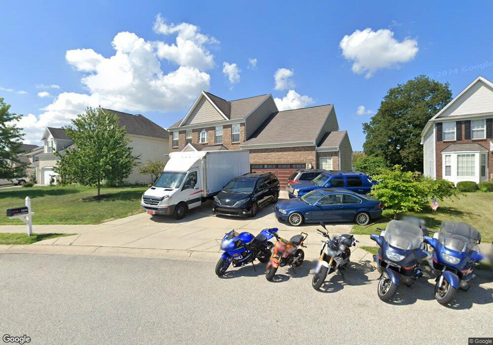
1455 Hession Dr Brownsburg, IN 46112
Estimated Value: $383,000 - $418,167
4
Beds
3
Baths
3,081
Sq Ft
$131/Sq Ft
Est. Value
About This Home
This home is located at 1455 Hession Dr, Brownsburg, IN 46112 and is currently estimated at $403,292, approximately $130 per square foot. 1455 Hession Dr is a home located in Hendricks County with nearby schools including Brown Elementary School, Brownsburg West Middle School, and Brownsburg High School.
Ownership History
Date
Name
Owned For
Owner Type
Purchase Details
Closed on
Apr 27, 2007
Sold by
Ameritage Homes Llc
Bought by
Gregory James and Gregory Mia
Current Estimated Value
Home Financials for this Owner
Home Financials are based on the most recent Mortgage that was taken out on this home.
Original Mortgage
$231,925
Outstanding Balance
$141,304
Interest Rate
6.2%
Mortgage Type
New Conventional
Estimated Equity
$261,988
Purchase Details
Closed on
May 18, 2005
Sold by
Bay Communities Llc
Bought by
The Estridge Group Inc
Create a Home Valuation Report for This Property
The Home Valuation Report is an in-depth analysis detailing your home's value as well as a comparison with similar homes in the area
Home Values in the Area
Average Home Value in this Area
Purchase History
| Date | Buyer | Sale Price | Title Company |
|---|---|---|---|
| Gregory James | -- | None Available | |
| Ameritage Homes Llc | -- | None Available | |
| The Estridge Group Inc | -- | None Available |
Source: Public Records
Mortgage History
| Date | Status | Borrower | Loan Amount |
|---|---|---|---|
| Open | Gregory James | $231,925 |
Source: Public Records
Tax History Compared to Growth
Tax History
| Year | Tax Paid | Tax Assessment Tax Assessment Total Assessment is a certain percentage of the fair market value that is determined by local assessors to be the total taxable value of land and additions on the property. | Land | Improvement |
|---|---|---|---|---|
| 2024 | $3,708 | $370,800 | $60,500 | $310,300 |
| 2023 | $3,405 | $340,500 | $55,000 | $285,500 |
| 2022 | $3,303 | $330,300 | $55,000 | $275,300 |
| 2021 | $3,020 | $302,000 | $55,000 | $247,000 |
| 2020 | $2,666 | $266,600 | $55,000 | $211,600 |
| 2019 | $2,572 | $257,200 | $52,400 | $204,800 |
| 2018 | $2,655 | $265,500 | $52,400 | $213,100 |
| 2017 | $2,533 | $253,300 | $50,400 | $202,900 |
| 2016 | $2,454 | $245,400 | $50,400 | $195,000 |
| 2014 | $2,214 | $221,400 | $47,500 | $173,900 |
Source: Public Records
Map
Nearby Homes
- 805 Wild Lake Cir
- 821 Harvest Lake Dr
- 1303 Gable Lake Dr
- 961 Pine Ridge Way
- 1113 River Ridge Dr
- 6863 Black Cherry Terrace
- 6905 Black Willow Ln
- 6929 Hornbeam Cir
- 1280 Summer Ridge Ln
- 1284 Summer Ridge Ln
- 1327 Blue Ridge Ln
- 543 N Odell St
- 7158 Sugar Maple Ln
- 9873 Blue Ridge Way
- 609 Roberta Ct
- 6303 Lewis St
- 725 Hawthorne Ln
- 7166 Rhapsody Way
- 7089 Symphony Dr
- 8570 Hudson Way
- 742 Settlers Walk
- 1451 Hession Dr
- 732 Settlers Walk
- 722 Bristle Lake Dr
- 1447 Hession Dr
- 718 Bristle Lake Dr
- 726 Bristle Lake Dr
- 1444 Hession Dr
- 721 Settlers Walk
- 714 Bristle Lake Dr
- 730 Bristle Lake Dr
- 722 Settlers Walk
- 1443 Hession Dr
- 1440 Hession Dr
- 1452 Hession Dr
- 711 Settlers Walk
- 710 Bristle Lake Dr
- 734 Bristle Lake Dr
- 712 Settlers Walk
- 1436 Hession Dr