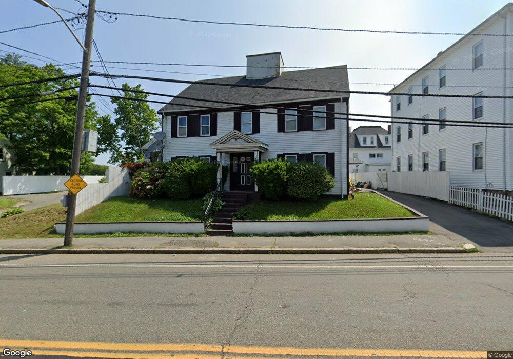
1466 Main St Brockton, MA 02301
Campello NeighborhoodEstimated Value: $676,000 - $794,000
4
Beds
2
Baths
3,076
Sq Ft
$235/Sq Ft
Est. Value
About This Home
This home is located at 1466 Main St, Brockton, MA 02301 and is currently estimated at $722,378, approximately $234 per square foot. 1466 Main St is a home located in Plymouth County with nearby schools including Davis K-8 School, John F. Kennedy Elementary School, and South Middle School.
Ownership History
Date
Name
Owned For
Owner Type
Purchase Details
Closed on
Sep 4, 2020
Sold by
Cruz Vivian E and Davila Marcelino
Bought by
Cruz Vivian E
Current Estimated Value
Purchase Details
Closed on
Nov 12, 2003
Sold by
Shaw Priscilla
Bought by
Davila Marcelino and Cruz Vivian E
Home Financials for this Owner
Home Financials are based on the most recent Mortgage that was taken out on this home.
Original Mortgage
$333,762
Interest Rate
5.81%
Mortgage Type
Purchase Money Mortgage
Create a Home Valuation Report for This Property
The Home Valuation Report is an in-depth analysis detailing your home's value as well as a comparison with similar homes in the area
Home Values in the Area
Average Home Value in this Area
Purchase History
| Date | Buyer | Sale Price | Title Company |
|---|---|---|---|
| Cruz Vivian E | -- | None Available | |
| Davila Marcelino | $339,000 | -- |
Source: Public Records
Mortgage History
| Date | Status | Borrower | Loan Amount |
|---|---|---|---|
| Previous Owner | Davila Marcelino | $333,762 | |
| Previous Owner | Davila Marcelino | $26,000 |
Source: Public Records
Tax History Compared to Growth
Tax History
| Year | Tax Paid | Tax Assessment Tax Assessment Total Assessment is a certain percentage of the fair market value that is determined by local assessors to be the total taxable value of land and additions on the property. | Land | Improvement |
|---|---|---|---|---|
| 2025 | $7,846 | $647,900 | $137,400 | $510,500 |
| 2024 | $7,611 | $633,200 | $137,400 | $495,800 |
| 2023 | $7,072 | $544,800 | $102,600 | $442,200 |
| 2022 | $7,232 | $517,700 | $93,100 | $424,600 |
| 2021 | $6,566 | $452,800 | $77,100 | $375,700 |
| 2020 | $5,807 | $383,300 | $72,500 | $310,800 |
| 2019 | $5,866 | $377,500 | $70,300 | $307,200 |
| 2018 | $5,817 | $305,800 | $70,300 | $235,500 |
| 2017 | $4,759 | $295,600 | $70,300 | $225,300 |
| 2016 | $4,578 | $263,700 | $68,100 | $195,600 |
| 2015 | $3,759 | $207,100 | $68,100 | $139,000 |
| 2014 | $3,717 | $205,000 | $68,100 | $136,900 |
Source: Public Records
Map
Nearby Homes
- 35 Longworth Ave Unit 17
- 15 Longworth Ave Unit 231
- 163 S Leyden St
- 358 Copeland St
- 223 Clinton St Unit 10
- 223 Clinton St Unit 3
- 47 Southworth St
- 115 Market St
- 65 Tremont St
- 13 Finny's Way
- 44 Baker St
- 977 Warren Ave
- 15 Fieldstone Dr
- 103 Clinton St
- 936 Warren Ave
- 112 Hillside Ave
- 1 Fairway Dr
- 34 Carl Ave
- 54 Ferris Ave
- 122 Sinclair Rd
- 1454 Main St
- 12 Watson St Unit 3
- 12 Watson St Unit 2
- 12 Watson St Unit 1
- 12 Watson St Unit 2,12
- 12 Watson St
- 12 Watson St Unit TWO
- 1452 Main St
- 1467 Main St
- 18 Watson St
- 20 Watson St Unit 2
- 20 Watson St Unit 1
- 18 Watson St Unit 3
- 18 Watson St Unit 2
- 10 Watson St
- 1490 Main St
- 1457 Main St
- 1440 Main St
- 1461 Main St
- 24 Watson St