14742 Fireside Cir Cold Spring, MN 56320
Estimated Value: $450,000 - $574,349
4
Beds
4
Baths
1,945
Sq Ft
$262/Sq Ft
Est. Value
About This Home
This home is located at 14742 Fireside Cir, Cold Spring, MN 56320 and is currently estimated at $508,837, approximately $261 per square foot. 14742 Fireside Cir is a home located in Stearns County with nearby schools including Rocori Senior High School, Dei Spring Academy, and St. Boniface School.
Ownership History
Date
Name
Owned For
Owner Type
Purchase Details
Closed on
Dec 28, 2018
Sold by
Zwack Trevor
Bought by
Zwack Trevor and Vanek Casey
Current Estimated Value
Purchase Details
Closed on
Dec 26, 2018
Sold by
Atwater Kevin D and Atwater Stephanie D
Bought by
Zwack Trevor
Purchase Details
Closed on
May 13, 2011
Sold by
Bauman Ward J
Bought by
Atwater Kevin P and Not Provided
Purchase Details
Closed on
Jun 2, 2003
Sold by
Zwack Mary
Bought by
Bauman Ward
Purchase Details
Closed on
Apr 25, 1991
Sold by
Theis Elroy
Bought by
Zwack Robert
Create a Home Valuation Report for This Property
The Home Valuation Report is an in-depth analysis detailing your home's value as well as a comparison with similar homes in the area
Home Values in the Area
Average Home Value in this Area
Purchase History
| Date | Buyer | Sale Price | Title Company |
|---|---|---|---|
| Zwack Trevor | -- | -- | |
| Zwack Trevor | $290,000 | -- | |
| Atwater Kevin P | -- | -- | |
| Bauman Ward | $279,900 | -- | |
| Zwack Robert | $12,000 | -- |
Source: Public Records
Tax History
| Year | Tax Paid | Tax Assessment Tax Assessment Total Assessment is a certain percentage of the fair market value that is determined by local assessors to be the total taxable value of land and additions on the property. | Land | Improvement |
|---|---|---|---|---|
| 2025 | $4,752 | $494,300 | $103,600 | $390,700 |
| 2024 | $4,576 | $491,700 | $102,600 | $389,100 |
| 2023 | $4,616 | $470,500 | $92,000 | $378,500 |
| 2022 | $4,004 | $364,100 | $75,000 | $289,100 |
| 2021 | $3,774 | $364,100 | $75,000 | $289,100 |
| 2020 | $3,518 | $335,800 | $75,000 | $260,800 |
| 2019 | $3,778 | $314,800 | $75,000 | $239,800 |
| 2017 | $3,396 | $302,300 | $85,400 | $216,900 |
| 2016 | $3,468 | $0 | $0 | $0 |
Source: Public Records
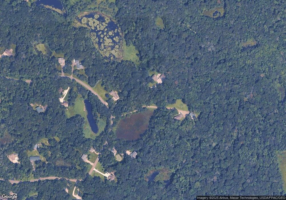
Map
Nearby Homes
- 1010 2nd Ave SE
- 88 Meadow Ln
- 76 Meadow Ln
- 69 Rookery Dr
- 36 Meadow Ln
- 14627 Greenwood Cir
- 202 River Oaks Dr
- 138 River Oaks Dr
- 106 River Oaks Dr
- 808 3rd St S
- 108 Eagle Dr
- 314 Bogey Ln
- 318 12th Ave S
- 20826 125th Ave
- 814 5 1 2 St N
- 308 17th Ave S
- 1912 River Links Dr
- 1600 1st St N
- 1914 River Links Dr
- 1604 1st St N
- 14742 Fireside Cir
- 14742 Fireside Cir
- 14742 Fireside Cir
- 14736 Fireside Cir
- 14750 Fireside Cir
- 14754 Fireside Cir
- 14728 Fireside Cir
- 14735 Fireside Cir
- 14714 Fireside Cir
- 14757 Fireside Cir
- 14762 Fireside Cir
- 14717 Fireside Cir
- 0 Fireside Cir
- 0 Fireside Rd
- 14771 Fireside Cir
- 14768 Fireside Cir
- 14706 Fireside Cir
- 21992 Patch Lake Rd
- 14789 Fireside Cir
- 14709 Fireside Cir
Your Personal Tour Guide
Ask me questions while you tour the home.