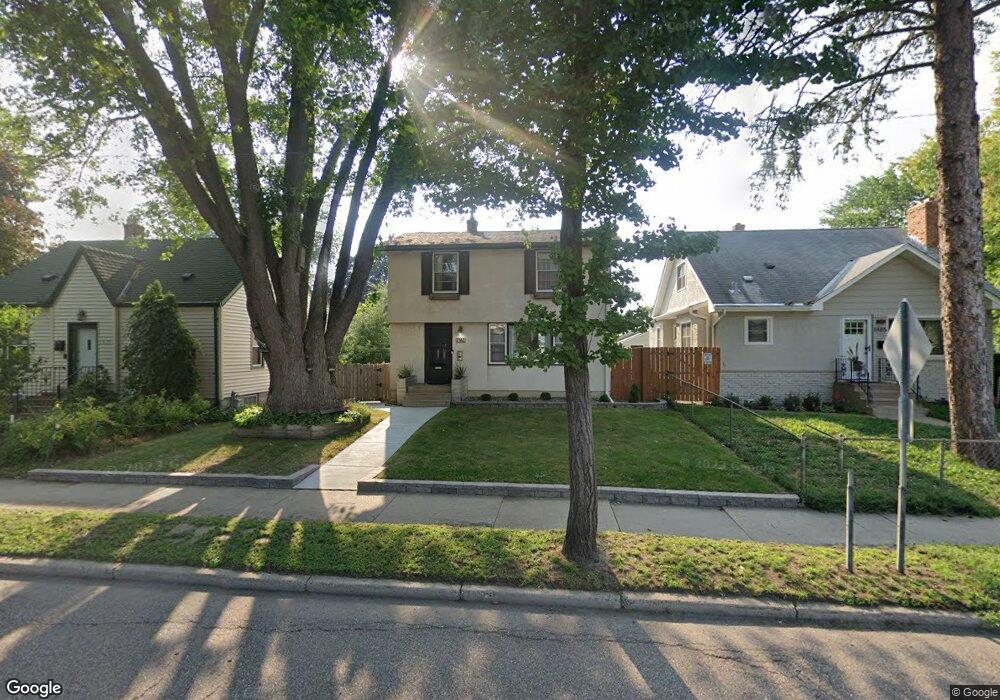
1481 Dale St N Saint Paul, MN 55117
Como Park NeighborhoodEstimated Value: $309,000 - $352,000
3
Beds
2
Baths
891
Sq Ft
$365/Sq Ft
Est. Value
About This Home
This home is located at 1481 Dale St N, Saint Paul, MN 55117 and is currently estimated at $325,477, approximately $365 per square foot. 1481 Dale St N is a home located in Ramsey County with nearby schools including Chelsea Heights Elementary, Murray Middle School, and Como Park Senior High School.
Ownership History
Date
Name
Owned For
Owner Type
Purchase Details
Closed on
Jul 31, 2015
Sold by
Yoakum Kimberly Kimberly
Bought by
Benoit Nicholas Nicholas
Current Estimated Value
Home Financials for this Owner
Home Financials are based on the most recent Mortgage that was taken out on this home.
Original Mortgage
$192,000
Outstanding Balance
$150,750
Interest Rate
3.98%
Estimated Equity
$174,727
Purchase Details
Closed on
Dec 31, 2012
Sold by
Yoakum Kimberly and Yoakum Andrew W
Bought by
Yoakum Kimberly and Yoakum Andrew W
Home Financials for this Owner
Home Financials are based on the most recent Mortgage that was taken out on this home.
Original Mortgage
$150,000
Interest Rate
3.31%
Mortgage Type
New Conventional
Purchase Details
Closed on
Dec 14, 2001
Sold by
Rudolph Kevin A and Rudolph Mary F
Bought by
Zaczkowski Kimberly
Create a Home Valuation Report for This Property
The Home Valuation Report is an in-depth analysis detailing your home's value as well as a comparison with similar homes in the area
Home Values in the Area
Average Home Value in this Area
Purchase History
| Date | Buyer | Sale Price | Title Company |
|---|---|---|---|
| Benoit Nicholas Nicholas | $194,000 | -- | |
| Yoakum Kimberly | -- | Edina Realty Title Inc | |
| Zaczkowski Kimberly | $142,000 | -- |
Source: Public Records
Mortgage History
| Date | Status | Borrower | Loan Amount |
|---|---|---|---|
| Open | Benoit Nicholas Nicholas | $192,000 | |
| Previous Owner | Yoakum Kimberly | $150,000 |
Source: Public Records
Tax History Compared to Growth
Tax History
| Year | Tax Paid | Tax Assessment Tax Assessment Total Assessment is a certain percentage of the fair market value that is determined by local assessors to be the total taxable value of land and additions on the property. | Land | Improvement |
|---|---|---|---|---|
| 2025 | $4,386 | $325,300 | $51,000 | $274,300 |
| 2023 | $4,386 | $290,100 | $51,000 | $239,100 |
| 2022 | $3,854 | $291,300 | $51,000 | $240,300 |
| 2021 | $3,614 | $248,800 | $51,000 | $197,800 |
| 2020 | $3,486 | $242,700 | $51,000 | $191,700 |
| 2019 | $3,198 | $220,600 | $46,800 | $173,800 |
| 2018 | $2,820 | $202,100 | $46,800 | $155,300 |
| 2017 | $2,756 | $186,400 | $33,800 | $152,600 |
| 2016 | $2,472 | $0 | $0 | $0 |
| 2015 | $2,804 | $167,200 | $33,800 | $133,400 |
| 2014 | $3,318 | $0 | $0 | $0 |
Source: Public Records
Map
Nearby Homes
- 1464 Maywood St
- 1539 Dale St N
- 1342 Dale St N
- 1457 Arundel St
- 408 Arlington Ave W
- 1600 Arundel St Unit 204
- 1241 Maywood St
- 397 Cottage Ave W Unit 3
- 796 Larpenteur Ave W
- tbd MacKubin St
- 373 Nebraska Ave W
- 766 Maryland Ave W
- 1222 Como Blvd E
- 1176 Norton St
- 1165 Norton St
- 1005 Como Blvd E
- 1175 Arundel St
- 1403 Galtier St
- 1801 Western Ave N
- 254 Idaho Ave W
- 1485 Dale St N
- 1475 Dale St N
- 1475 1475 Dale St N
- 1489 Dale St N
- 1489 1489 Dale St N
- 1489 1489 Dale-Street-n
- 1469 Dale St N
- 1482 Maywood St
- 1486 Maywood St
- 1478 Maywood St
- 1465 1465 Dale-Street-n
- 1465 Dale St N
- 1492 Maywood St
- 1474 Maywood St
- 1478 Dale St N
- 1493 Dale St N
- 1461 Dale St N
- 1468 Maywood St
- 1470 Dale St N
- 1496 Maywood St