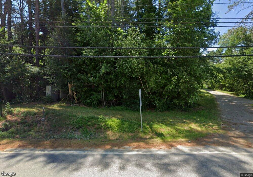
1487 Us Route 3 Campton, NH 03223
Estimated Value: $380,000 - $433,000
4
Beds
2
Baths
1,612
Sq Ft
$249/Sq Ft
Est. Value
About This Home
This home is located at 1487 Us Route 3, Campton, NH 03223 and is currently estimated at $400,892, approximately $248 per square foot. 1487 Us Route 3 is a home located in Grafton County with nearby schools including Campton Elementary School, Plymouth Regional High School, and Plymouth State University CD & FC.
Ownership History
Date
Name
Owned For
Owner Type
Purchase Details
Closed on
Apr 12, 2016
Sold by
Fnma
Bought by
Jennings Ronald D and Jennings Mary J
Current Estimated Value
Purchase Details
Closed on
Apr 7, 2015
Sold by
Degreenia Jay A
Bought by
Fnma
Create a Home Valuation Report for This Property
The Home Valuation Report is an in-depth analysis detailing your home's value as well as a comparison with similar homes in the area
Home Values in the Area
Average Home Value in this Area
Purchase History
| Date | Buyer | Sale Price | Title Company |
|---|---|---|---|
| Jennings Ronald D | $84,933 | -- | |
| Fnma | $171,111 | -- |
Source: Public Records
Mortgage History
| Date | Status | Borrower | Loan Amount |
|---|---|---|---|
| Previous Owner | Fnma | $15,778 |
Source: Public Records
Tax History Compared to Growth
Tax History
| Year | Tax Paid | Tax Assessment Tax Assessment Total Assessment is a certain percentage of the fair market value that is determined by local assessors to be the total taxable value of land and additions on the property. | Land | Improvement |
|---|---|---|---|---|
| 2024 | $6,420 | $372,800 | $133,500 | $239,300 |
| 2023 | $6,102 | $212,100 | $67,200 | $144,900 |
| 2022 | $5,360 | $212,100 | $67,200 | $144,900 |
| 2021 | $5,296 | $212,100 | $67,200 | $144,900 |
| 2020 | $8,118 | $209,900 | $67,200 | $142,700 |
| 2019 | $4,633 | $199,600 | $67,200 | $132,400 |
| 2018 | $4,404 | $172,500 | $53,200 | $119,300 |
| 2017 | $8,278 | $172,500 | $53,200 | $119,300 |
| 2016 | $4,059 | $169,900 | $53,200 | $116,700 |
| 2015 | $3,835 | $167,400 | $53,200 | $114,200 |
| 2014 | $3,927 | $167,400 | $53,200 | $114,200 |
| 2013 | $3,546 | $177,400 | $55,200 | $122,200 |
Source: Public Records
Map
Nearby Homes
- 5 Wildwood Dr
- 71 Carla Ct
- Lot 15 Kelly Way
- 10-6 Page Rd
- 73 Ellsworth Hill Rd
- 4 Seven Sisters Cir
- 0 Lower Beech Hill Rd Unit 5029667
- 72 Crescent St
- 51 Turkey Jim Rd
- 20 Wildflower Ln Unit 208-97-9-2
- 20 Wildflower Ln Unit 208-97-9-1
- 18 Wildflower Ln Unit 208-97-8-01
- 172 Merrill Rd
- 90 Sunset Cir
- 23 Cider Mill Dr
- 8 Avery Rd
- 311 Ellsworth Hill Rd
- 32 Merrill Rd
- 20 Merrill Rd
- 14 Heritage Hill Rd
- 1487 Us Route 3
- 1487 Us Route 3
- 1475 Us Route 3
- 1475 Us Route 3
- 1497 U S 3
- 1497 Us Route 3
- 1495 Us Route 3
- 1482 Us Route 3
- 1467 Us Route 3
- 1472 Us Route 3
- 1532 Us Route 3
- 1513 Us Route 3
- 1513 Us Route 3
- 1513 Us Route 3 Unit 100+
- 1513 Us Route 3
- 57 Blair Rd
- 1459 Us Route 3
- 15-09-11-1 U S 3
- 1459 U S 3
- 1451 Us Route 3
