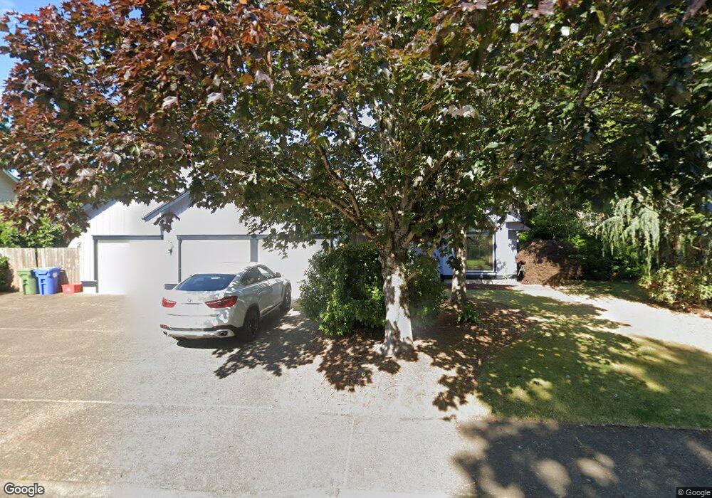
1488 Victorian Way Eugene, OR 97401
Harlow NeighborhoodEstimated Value: $652,731 - $732,000
2
Beds
2
Baths
1,841
Sq Ft
$380/Sq Ft
Est. Value
About This Home
This home is located at 1488 Victorian Way, Eugene, OR 97401 and is currently estimated at $698,683, approximately $379 per square foot. 1488 Victorian Way is a home located in Lane County with nearby schools including Holt Elementary School, Monroe Middle School, and Sheldon High School.
Ownership History
Date
Name
Owned For
Owner Type
Purchase Details
Closed on
Feb 1, 2024
Sold by
Anderson Bradley E and Anderson Donna Lum
Bought by
Anderson Living Trust and Anderson
Current Estimated Value
Purchase Details
Closed on
May 27, 2004
Sold by
Scarpelli Don and Scarpelli Rita
Bought by
Anderson Bradley E and Anderson Donna Lum
Home Financials for this Owner
Home Financials are based on the most recent Mortgage that was taken out on this home.
Original Mortgage
$246,400
Interest Rate
5.21%
Mortgage Type
Purchase Money Mortgage
Create a Home Valuation Report for This Property
The Home Valuation Report is an in-depth analysis detailing your home's value as well as a comparison with similar homes in the area
Home Values in the Area
Average Home Value in this Area
Purchase History
| Date | Buyer | Sale Price | Title Company |
|---|---|---|---|
| Anderson Living Trust | -- | None Listed On Document | |
| Anderson Bradley E | $308,000 | Western Title & Escrow Co |
Source: Public Records
Mortgage History
| Date | Status | Borrower | Loan Amount |
|---|---|---|---|
| Previous Owner | Anderson Bradley E | $246,400 |
Source: Public Records
Tax History Compared to Growth
Tax History
| Year | Tax Paid | Tax Assessment Tax Assessment Total Assessment is a certain percentage of the fair market value that is determined by local assessors to be the total taxable value of land and additions on the property. | Land | Improvement |
|---|---|---|---|---|
| 2025 | $8,721 | $447,606 | -- | -- |
| 2024 | $8,613 | $434,569 | -- | -- |
| 2023 | $8,613 | $421,912 | $0 | $0 |
| 2022 | $8,068 | $409,624 | $0 | $0 |
| 2021 | $7,578 | $397,694 | $0 | $0 |
| 2020 | $7,441 | $386,111 | $0 | $0 |
| 2019 | $7,178 | $374,866 | $0 | $0 |
| 2018 | $6,762 | $353,348 | $0 | $0 |
| 2017 | $6,381 | $353,348 | $0 | $0 |
| 2016 | $6,044 | $343,056 | $0 | $0 |
| 2015 | $5,897 | $333,064 | $0 | $0 |
| 2014 | $5,764 | $323,363 | $0 | $0 |
Source: Public Records
Map
Nearby Homes
- 1491 Victorian Way
- 1395 Bogart Ln
- 0 Sprig Ln Unit Lot 3
- 0 Sprig Ln Unit Lot 3 766109892
- 0 Sprig Ln Unit Lot 6 156455067
- 3090 Willakenzie Rd
- 3387 Winchester Way
- 1270 Calvin St
- 1683 Victorian Way
- 1755 Kings St N
- 3192 Queens East St
- 2925 Van Ave
- 1794 Kings St N
- 1277 Arcadia Dr
- 1097 Leigh St
- 3176 Kentwood Dr
- 1854 Cambridge Oaks Dr
- 1038 President St
- 3594 Sussex St
- 3684 Babcock Ln
- 1449 Barrington Ave
- 1500 Victorian Way
- 1454 Victorian Way
- 1453 Barrington Ave
- 1459 Barrington Ave
- 1455 Victorian Way
- 1522 Victorian Way
- 1414 Victorian Way
- 1411 Barrington Ave
- 1465 Barrington Ave
- 3303 King Edwards Ct
- 1448 Barrington Ave
- 1460 Barrington Ave
- 1436 Barrington Ave
- 3306 King Edwards Ct
- 1471 Barrington Ave
- 1519 Bogart Ln
- 1456 Regency Dr
- 3307 King Edwards Ct
- 1517 Bogart Ln