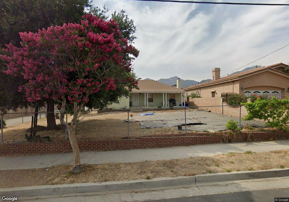
14909 Cobalt St Sylmar, CA 91342
Estimated Value: $702,000 - $948,000
2
Beds
3
Baths
1,973
Sq Ft
$434/Sq Ft
Est. Value
About This Home
This home is located at 14909 Cobalt St, Sylmar, CA 91342 and is currently estimated at $856,333, approximately $434 per square foot. 14909 Cobalt St is a home located in Los Angeles County with nearby schools including Herrick Avenue Elementary School, Olive Vista Middle School, and San Fernando Senior High School.
Ownership History
Date
Name
Owned For
Owner Type
Purchase Details
Closed on
Jun 23, 1998
Sold by
Coleman Rodney E
Bought by
Orthober Franklin and Westmoreland Ursula
Current Estimated Value
Home Financials for this Owner
Home Financials are based on the most recent Mortgage that was taken out on this home.
Original Mortgage
$123,000
Outstanding Balance
$26,634
Interest Rate
7.99%
Estimated Equity
$829,699
Create a Home Valuation Report for This Property
The Home Valuation Report is an in-depth analysis detailing your home's value as well as a comparison with similar homes in the area
Home Values in the Area
Average Home Value in this Area
Purchase History
| Date | Buyer | Sale Price | Title Company |
|---|---|---|---|
| Orthober Franklin | -- | American Title Co |
Source: Public Records
Mortgage History
| Date | Status | Borrower | Loan Amount |
|---|---|---|---|
| Open | Orthober Franklin | $123,000 |
Source: Public Records
Tax History Compared to Growth
Tax History
| Year | Tax Paid | Tax Assessment Tax Assessment Total Assessment is a certain percentage of the fair market value that is determined by local assessors to be the total taxable value of land and additions on the property. | Land | Improvement |
|---|---|---|---|---|
| 2025 | $10,137 | $315,094 | $198,789 | $116,305 |
| 2024 | $10,137 | $308,917 | $194,892 | $114,025 |
| 2023 | $10,063 | $302,861 | $191,071 | $111,790 |
| 2022 | $9,888 | $296,924 | $187,325 | $109,599 |
| 2021 | $9,832 | $291,102 | $183,652 | $107,450 |
| 2020 | $9,864 | $288,118 | $181,769 | $106,349 |
| 2019 | $49 | $278,369 | $178,205 | $100,164 |
| 2018 | $3,492 | $272,911 | $174,711 | $98,200 |
| 2017 | $3,416 | $267,561 | $171,286 | $96,275 |
| 2016 | $3,329 | $262,316 | $167,928 | $94,388 |
| 2015 | $3,282 | $258,377 | $165,406 | $92,971 |
| 2014 | $3,302 | $253,316 | $162,166 | $91,150 |
Source: Public Records
Map
Nearby Homes
- 13531 Fusano Ave
- 14833 Ararat St
- 15122 Roxford St Unit 7
- 13522 Glenoaks Blvd Unit 4
- 13656 Dronfield Ave
- 14890 Foothill Blvd
- 13717 Deane Ln
- 15185 Cobalt St
- 15245 Monte St
- 14456 Foothill Blvd Unit 43
- 14923 La Valle St
- 13748 Amanda Ln
- 14523 Ryan St
- 15232 Foothill Blvd Unit 111
- 14425 Foothill Blvd Unit 17
- 14344 Foothill Blvd Unit 306
- 13800 Glenoaks Blvd
- 13346 Los Olivos Rd
- 13901 Olive View Ln Unit 25
- 13775 Glenoaks Blvd Unit 16
- 14901 Cobalt St
- 13520 Fusano Ave
- 13530 Fusano Ave
- 13567 Borden Ave
- 13538 Fusano Ave
- 13537 Borden Ave
- 13575 Borden Ave
- 14891 Cobalt St
- 13548 Fusano Ave
- 13579 Borden Ave
- 13531 Borden Ave
- 13521 Fusano Ave
- 14881 Cobalt St
- 13574 Borden Ave
- 13539 Fusano Ave
- 13556 Fusano Ave
- 13605 Borden Ave
- 13521 Borden Ave
- 13600 Borden Ave
- 13549 Fusano Ave