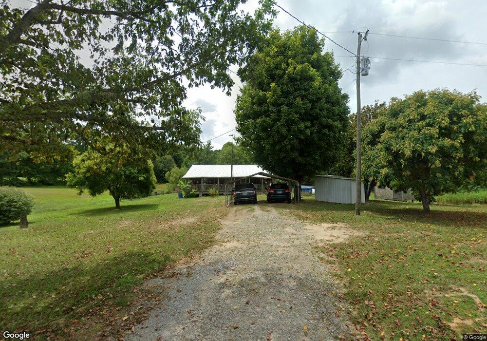
1498 Union B Rd Clarkrange, TN 38553
Estimated Value: $134,194 - $208,000
Studio
--
Bath
768
Sq Ft
$223/Sq Ft
Est. Value
About This Home
This home is located at 1498 Union B Rd, Clarkrange, TN 38553 and is currently estimated at $171,097, approximately $222 per square foot. 1498 Union B Rd is a home.
Ownership History
Date
Name
Owned For
Owner Type
Purchase Details
Closed on
Dec 31, 2024
Sold by
Phillips Tony and Padgett Brenda
Bought by
Phillips Tony and Gunter Leasha
Current Estimated Value
Purchase Details
Closed on
Mar 27, 2012
Sold by
Phillips Tony
Bought by
Tony Phillips and Padgett Brenda
Purchase Details
Closed on
Mar 20, 2000
Bought by
Phillips Winnie - Le Rem and Phillips Tony Phil
Create a Home Valuation Report for This Property
The Home Valuation Report is an in-depth analysis detailing your home's value as well as a comparison with similar homes in the area
Purchase History
We collect this data history from publicly available records. To have your information removed, we recommend requesting removal directly through your county’s website.
| Date | Buyer | Sale Price | Title Company |
|---|---|---|---|
| Phillips Tony | -- | None Listed On Document | |
| Tony Phillips | -- | -- | |
| Phillips Tony | -- | -- | |
| Phillips Winnie - Le Rem | $1,200 | -- |
Source: Public Records
Tax History
| Year | Tax Paid | Tax Assessment Tax Assessment Total Assessment is a certain percentage of the fair market value that is determined by local assessors to be the total taxable value of land and additions on the property. | Land | Improvement |
|---|---|---|---|---|
| 2025 | $391 | $29,250 | $13,675 | $15,575 |
| 2024 | $324 | $14,425 | $6,000 | $8,425 |
| 2023 | $284 | $14,425 | $6,000 | $8,425 |
| 2022 | $284 | $14,425 | $6,000 | $8,425 |
| 2021 | $284 | $14,425 | $6,000 | $8,425 |
| 2020 | $284 | $14,425 | $6,000 | $8,425 |
| 2019 | $308 | $13,700 | $6,000 | $7,700 |
| 2018 | $308 | $13,700 | $6,000 | $7,700 |
| 2017 | $308 | $13,700 | $6,000 | $7,700 |
| 2016 | $316 | $14,050 | $6,000 | $8,050 |
| 2015 | $280 | $14,050 | $6,000 | $8,050 |
| 2014 | -- | $14,050 | $6,000 | $8,050 |
| 2013 | -- | $14,725 | $0 | $0 |
Source: Public Records
Map
Nearby Homes
- 7.08ac Hollow Creek Ln
- 0 Hollow Creek Ln
- 1995 Clarkrange Monterey Hwy
- 3614 Muddy Pond Rd
- 20.78 ac B Armstrong Ln
- 3695 Martha Washington Rd
- 833 Little Hurricane Ln
- 0 0 Mountain Laurel Tr
- 329 B Armstrong Ln
- 4345 Chapel Hill Rd Unit 114
- 1188 Clarkrange Monterey Hwy
- 1291 Buck Ln
- 1291 Buck Ln Unit 84
- 11071 River
- 7578 E Fork Ln
- 3482 Chapel Hill Rd
- 469 Ferry Bend Trail
- 5 Cumberland Lakes Dr
- 515 Ferry Bend Trail Unit 18
- 515 Ferry Bend Trail
- 1507 Union B Rd
- 1497 Union B
- 1507 Union B Rd
- 1930 Union B Rd
- 1491 Union B Rd
- 230 Laurel Cliff Rd
- 170 Laurel Cliff Rd
- 1814 Shaver Rd
- 150 Laurel Cliff Rd
- 299 Hurricane Ln
- 1774 Shaver Rd
- 250 Hurricane Ln
- 179 Laurel Cliff Rd
- 169 Laurel Cliff Rd
- 1272 Union B
- 1740 Shaver Rd
- 184 Laurel Cliff Rd
- 1730 Shaver Rd
- 176 Lil Looper Branch Ln
- 240 Laurel Cliff Rd
Your Personal Tour Guide
Ask me questions while you tour the home.