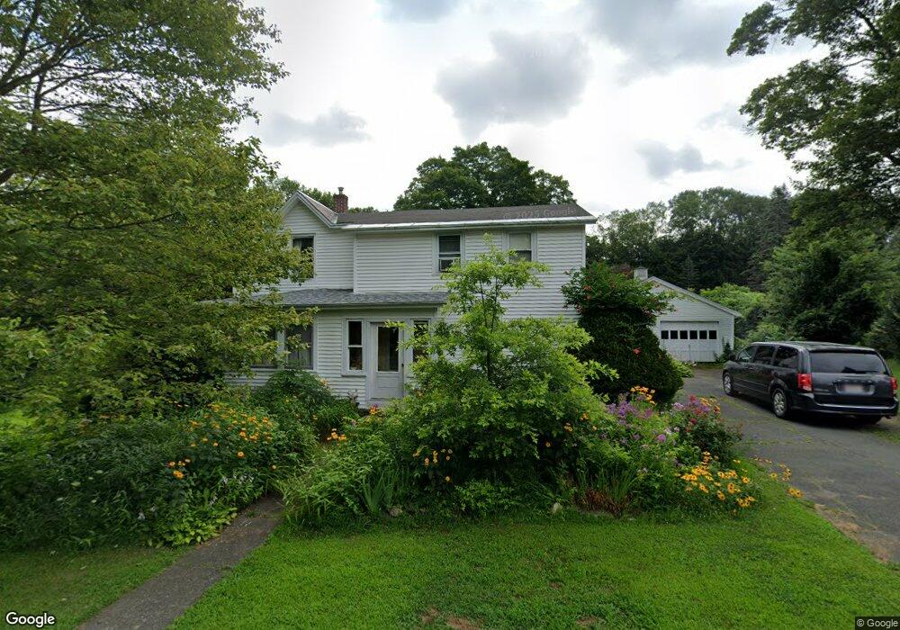
15 Birch Rd Shelburne Falls, MA 01370
Buckland NeighborhoodEstimated Value: $389,000 - $454,421
3
Beds
2
Baths
2,383
Sq Ft
$175/Sq Ft
Est. Value
About This Home
This home is located at 15 Birch Rd, Shelburne Falls, MA 01370 and is currently estimated at $417,105, approximately $175 per square foot. 15 Birch Rd is a home with nearby schools including Mohawk Trail Regional High School.
Ownership History
Date
Name
Owned For
Owner Type
Purchase Details
Closed on
Nov 18, 2022
Sold by
Howland Steven L and Parland Nancy M
Bought by
Barbara Karina Lutz Lt and Lutz
Current Estimated Value
Purchase Details
Closed on
Jul 20, 2001
Sold by
Parks Mildred B
Bought by
Dole Nancy L
Home Financials for this Owner
Home Financials are based on the most recent Mortgage that was taken out on this home.
Original Mortgage
$96,000
Interest Rate
7.2%
Mortgage Type
Purchase Money Mortgage
Create a Home Valuation Report for This Property
The Home Valuation Report is an in-depth analysis detailing your home's value as well as a comparison with similar homes in the area
Home Values in the Area
Average Home Value in this Area
Purchase History
| Date | Buyer | Sale Price | Title Company |
|---|---|---|---|
| Barbara Karina Lutz Lt | $300,000 | None Available | |
| Barbara Karina Lutz Lt | $300,000 | None Available | |
| Dole Nancy L | $138,000 | -- | |
| Dole Nancy L | $138,000 | -- |
Source: Public Records
Mortgage History
| Date | Status | Borrower | Loan Amount |
|---|---|---|---|
| Previous Owner | Dole Nancy L | $45,000 | |
| Previous Owner | Dole Nancy L | $96,000 |
Source: Public Records
Tax History Compared to Growth
Tax History
| Year | Tax Paid | Tax Assessment Tax Assessment Total Assessment is a certain percentage of the fair market value that is determined by local assessors to be the total taxable value of land and additions on the property. | Land | Improvement |
|---|---|---|---|---|
| 2025 | $5,162 | $304,700 | $47,100 | $257,600 |
| 2024 | $5,038 | $286,900 | $47,100 | $239,800 |
| 2023 | $4,426 | $261,300 | $47,100 | $214,200 |
| 2022 | $4,385 | $261,300 | $47,100 | $214,200 |
| 2021 | $4,009 | $224,700 | $47,100 | $177,600 |
| 2020 | $3,904 | $210,800 | $47,100 | $163,700 |
| 2019 | $3,661 | $196,500 | $47,100 | $149,400 |
| 2018 | $3,572 | $189,500 | $47,100 | $142,400 |
| 2017 | $3,420 | $189,500 | $47,100 | $142,400 |
| 2016 | $3,182 | $188,300 | $47,100 | $141,200 |
| 2015 | $3,163 | $188,300 | $47,100 | $141,200 |
Source: Public Records
Map
Nearby Homes
- 10 Deerfield Ave Unit 5
- 10 Deerfield Ave Unit 2
- 105 - 107 Bridge St
- 102 Elm St
- 33 Williams St
- 2151 Route 2
- 2155 Massachusetts 2
- 7 Hog Hollow Rd
- 156 Ashfield Rd
- 0 Upper St
- 31 W Oxbow Rd
- 24 W Oxbow Rd
- 0 Ashfield Rd
- 0 W Oxbow Rd Unit 73453651
- 85 Dacey Rd
- lot 1 Shelburne Falls Rd
- 3+5 Church St
- 240 Beldingville Rd
- 143 Charlemont Rd
- 0 Fiske Mill Rd