L
Seller's Agent in 2020
LINK Email Cache
LINK
Estimated Value: $1,917,000 - $2,435,293
Not listed in LINK.
Last Agent to Sell the Property
LINK Email Cache
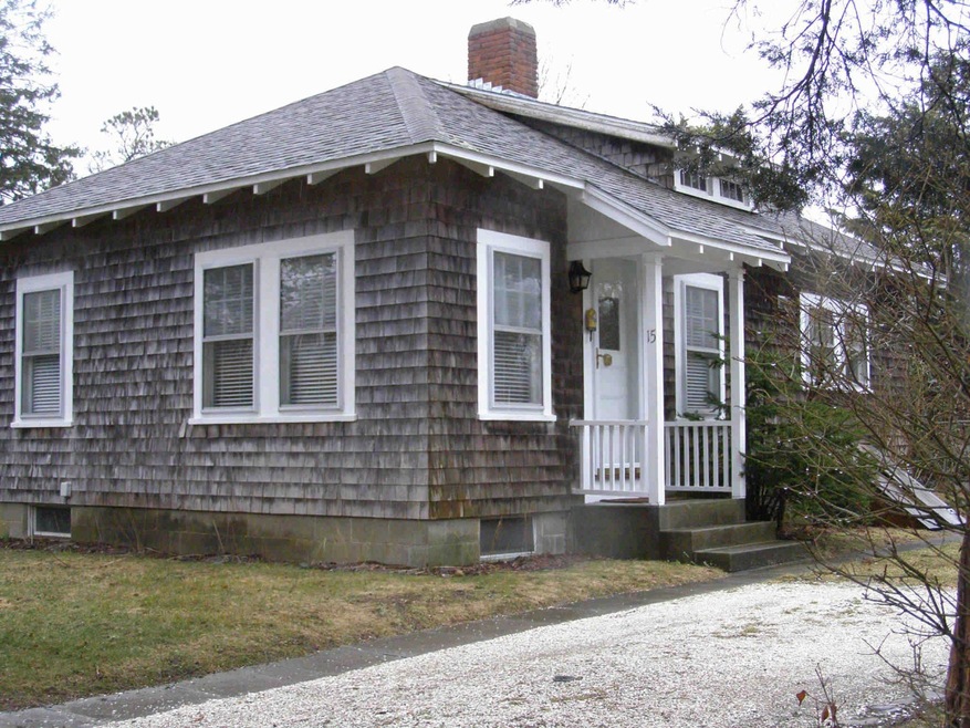
LINK Listed on: 10/29/2020
| Date | Buyer | Sale Price | Title Company |
|---|---|---|---|
| 15 Mullen Mvy Llc | -- | None Available | |
| 15 Mullen Mvy Llc | -- | None Available | |
| Littlejohn Margaret H | $1,100,000 | None Available | |
| Coad Robert E | $90,000 | -- |
| Date | Status | Borrower | Loan Amount |
|---|---|---|---|
| Previous Owner | Coad Robert E | $70,000 |
| Date | Event | Price | List to Sale | Price per Sq Ft |
|---|---|---|---|---|
| 10/29/2020 10/29/20 | Sold | $1,100,000 | -- | $1,440 / Sq Ft |
| Year | Tax Paid | Tax Assessment Tax Assessment Total Assessment is a certain percentage of the fair market value that is determined by local assessors to be the total taxable value of land and additions on the property. | Land | Improvement |
|---|---|---|---|---|
| 2025 | $5,833 | $2,201,200 | $793,100 | $1,408,100 |
| 2024 | $2,696 | $1,057,300 | $793,100 | $264,200 |
| 2023 | $2,776 | $1,101,700 | $826,100 | $275,600 |
| 2022 | $2,848 | $940,000 | $778,900 | $161,100 |
| 2021 | $2,577 | $785,700 | $708,100 | $77,600 |
| 2020 | $2,416 | $721,300 | $643,700 | $77,600 |
| 2019 | $3,017 | $779,500 | $697,400 | $82,100 |
| 2018 | $2,154 | $764,500 | $697,400 | $67,100 |
| 2017 | $2,102 | $592,200 | $536,400 | $55,800 |
| 2016 | $2,106 | $581,900 | $536,400 | $45,500 |
| 2015 | $1,789 | $515,600 | $464,800 | $50,800 |
L
Seller's Agent in 2020
LINK Email Cache
LINK
Source: LINK (Vineyard)
MLS Number: 37514
APN: EDGA-000029A-000048