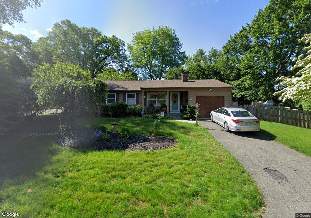
15 Overland St Springfield, MA 01118
East Forest Park NeighborhoodEstimated Value: $275,000 - $310,000
2
Beds
1
Bath
816
Sq Ft
$357/Sq Ft
Est. Value
About This Home
This home is located at 15 Overland St, Springfield, MA 01118 and is currently estimated at $291,574, approximately $357 per square foot. 15 Overland St is a home located in Hampden County with nearby schools including Frederick Harris Elementary School, M Marcus Kiley Middle, and Springfield High School of Science and Technology.
Ownership History
Date
Name
Owned For
Owner Type
Purchase Details
Closed on
Nov 30, 2006
Sold by
Szenasy Aracely and Szenasy Sandor
Bought by
Wysocki Gina
Current Estimated Value
Home Financials for this Owner
Home Financials are based on the most recent Mortgage that was taken out on this home.
Original Mortgage
$119,200
Outstanding Balance
$71,464
Interest Rate
6.36%
Mortgage Type
Purchase Money Mortgage
Estimated Equity
$220,110
Purchase Details
Closed on
Jul 23, 2004
Sold by
Julian Jelsomine M and Julian Jelsomine
Bought by
Szenasy Aracely and Szenasy Sandor
Purchase Details
Closed on
Jul 2, 2004
Sold by
Robinson Charles and Julian Marcia B
Bought by
Julian Jelsomine M
Create a Home Valuation Report for This Property
The Home Valuation Report is an in-depth analysis detailing your home's value as well as a comparison with similar homes in the area
Home Values in the Area
Average Home Value in this Area
Purchase History
| Date | Buyer | Sale Price | Title Company |
|---|---|---|---|
| Wysocki Gina | $149,000 | -- | |
| Szenasy Aracely | $136,000 | -- | |
| Julian Jelsomine M | -- | -- |
Source: Public Records
Mortgage History
| Date | Status | Borrower | Loan Amount |
|---|---|---|---|
| Open | Wysocki Gina | $119,200 | |
| Closed | Wysocki Gina | $29,800 |
Source: Public Records
Tax History Compared to Growth
Tax History
| Year | Tax Paid | Tax Assessment Tax Assessment Total Assessment is a certain percentage of the fair market value that is determined by local assessors to be the total taxable value of land and additions on the property. | Land | Improvement |
|---|---|---|---|---|
| 2025 | $3,887 | $247,900 | $38,600 | $209,300 |
| 2024 | $4,086 | $254,400 | $38,600 | $215,800 |
| 2023 | $4,291 | $251,700 | $40,100 | $211,600 |
| 2022 | $3,743 | $198,900 | $40,100 | $158,800 |
| 2021 | $3,228 | $170,800 | $36,500 | $134,300 |
| 2020 | $3,226 | $165,200 | $36,500 | $128,700 |
| 2019 | $2,930 | $148,900 | $36,500 | $112,400 |
| 2018 | $2,946 | $149,700 | $36,500 | $113,200 |
| 2017 | $2,701 | $137,400 | $36,500 | $100,900 |
| 2016 | $2,577 | $131,100 | $36,500 | $94,600 |
| 2015 | $2,414 | $122,700 | $36,500 | $86,200 |
Source: Public Records
Map
Nearby Homes
- 138 Abbott St
- 100 Abbott St
- 95 Benz St
- 141 Hartford Terrace
- 7 Ashbrook St
- 190 Whittum Ave
- 283 Plumtree Rd
- 26 Harkness Ave
- 74 Oregon St
- 101 Regal St
- 19 Roosevelt Ave
- 36 Garland St
- 196 Sawmill Rd
- 77 W Allen Ridge Rd
- 100 Derryfield Ave
- 5 Manor Ct Unit 5
- 19 Manor Ct Unit 19
- 27 Regal St
- 134 Eddywood St
- 290 Newton Rd