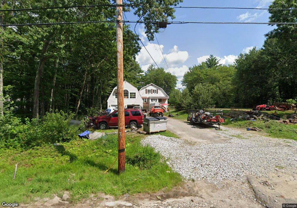
15 Roy St Raymond, NH 03077
Estimated Value: $528,000 - $588,000
3
Beds
3
Baths
1,728
Sq Ft
$322/Sq Ft
Est. Value
About This Home
This home is located at 15 Roy St, Raymond, NH 03077 and is currently estimated at $556,268, approximately $321 per square foot. 15 Roy St is a home located in Rockingham County with nearby schools including Lamprey River Elementary School, Iber Holmes Gove Middle School, and Raymond High School.
Ownership History
Date
Name
Owned For
Owner Type
Purchase Details
Closed on
Jul 19, 2016
Sold by
Kalil Teresa M
Bought by
Whitman Daniel A and Whitman Tammanne E
Current Estimated Value
Home Financials for this Owner
Home Financials are based on the most recent Mortgage that was taken out on this home.
Original Mortgage
$262,107
Outstanding Balance
$209,778
Interest Rate
3.66%
Mortgage Type
Purchase Money Mortgage
Estimated Equity
$346,490
Purchase Details
Closed on
Feb 5, 2013
Sold by
Grenier Tanya L
Bought by
Deutsche Bk Natl T Co
Purchase Details
Closed on
Sep 11, 1996
Sold by
Sevigny Laurent J and Sevigny Theresa E
Bought by
Grenier G Conrad and Grenier Tanya L
Home Financials for this Owner
Home Financials are based on the most recent Mortgage that was taken out on this home.
Original Mortgage
$91,500
Interest Rate
8.18%
Create a Home Valuation Report for This Property
The Home Valuation Report is an in-depth analysis detailing your home's value as well as a comparison with similar homes in the area
Home Values in the Area
Average Home Value in this Area
Purchase History
| Date | Buyer | Sale Price | Title Company |
|---|---|---|---|
| Whitman Daniel A | $254,933 | -- | |
| Deutsche Bk Natl T Co | $146,500 | -- | |
| Grenier G Conrad | $91,500 | -- |
Source: Public Records
Mortgage History
| Date | Status | Borrower | Loan Amount |
|---|---|---|---|
| Open | Whitman Daniel A | $262,107 | |
| Previous Owner | Grenier G Conrad | $15,898 | |
| Previous Owner | Grenier G Conrad | $91,500 |
Source: Public Records
Tax History Compared to Growth
Tax History
| Year | Tax Paid | Tax Assessment Tax Assessment Total Assessment is a certain percentage of the fair market value that is determined by local assessors to be the total taxable value of land and additions on the property. | Land | Improvement |
|---|---|---|---|---|
| 2024 | $7,596 | $346,700 | $111,500 | $235,200 |
| 2023 | $7,184 | $346,700 | $111,500 | $235,200 |
| 2022 | $6,341 | $346,700 | $111,500 | $235,200 |
| 2021 | $6,417 | $346,700 | $111,500 | $235,200 |
| 2020 | $7,326 | $256,000 | $79,700 | $176,300 |
| 2019 | $6,807 | $256,000 | $79,700 | $176,300 |
| 2018 | $6,746 | $256,000 | $79,700 | $176,300 |
| 2017 | $6,077 | $256,000 | $79,700 | $176,300 |
| 2016 | $6,077 | $256,000 | $79,700 | $176,300 |
| 2015 | $5,871 | $234,100 | $79,700 | $154,400 |
| 2014 | $5,679 | $233,400 | $79,700 | $153,700 |
| 2013 | $5,518 | $233,400 | $79,700 | $153,700 |
Source: Public Records
Map
Nearby Homes